Файл:Island_of_Ireland_relief_location_map.png
From Wikipedia, the free encyclopedia
Оригиналан файл (1450 × 1807 пиксель, файлан барам: 2,07 Мб, MIME-тайп: image/png)
ХӀара файл Викиларма чуьра йу и лело йиш йу массо проекташкахь. Цунна хаам гайтина лахахь. Файл Викилармехь
| Цуьнах лаьцнаIsland of Ireland relief location map.png |
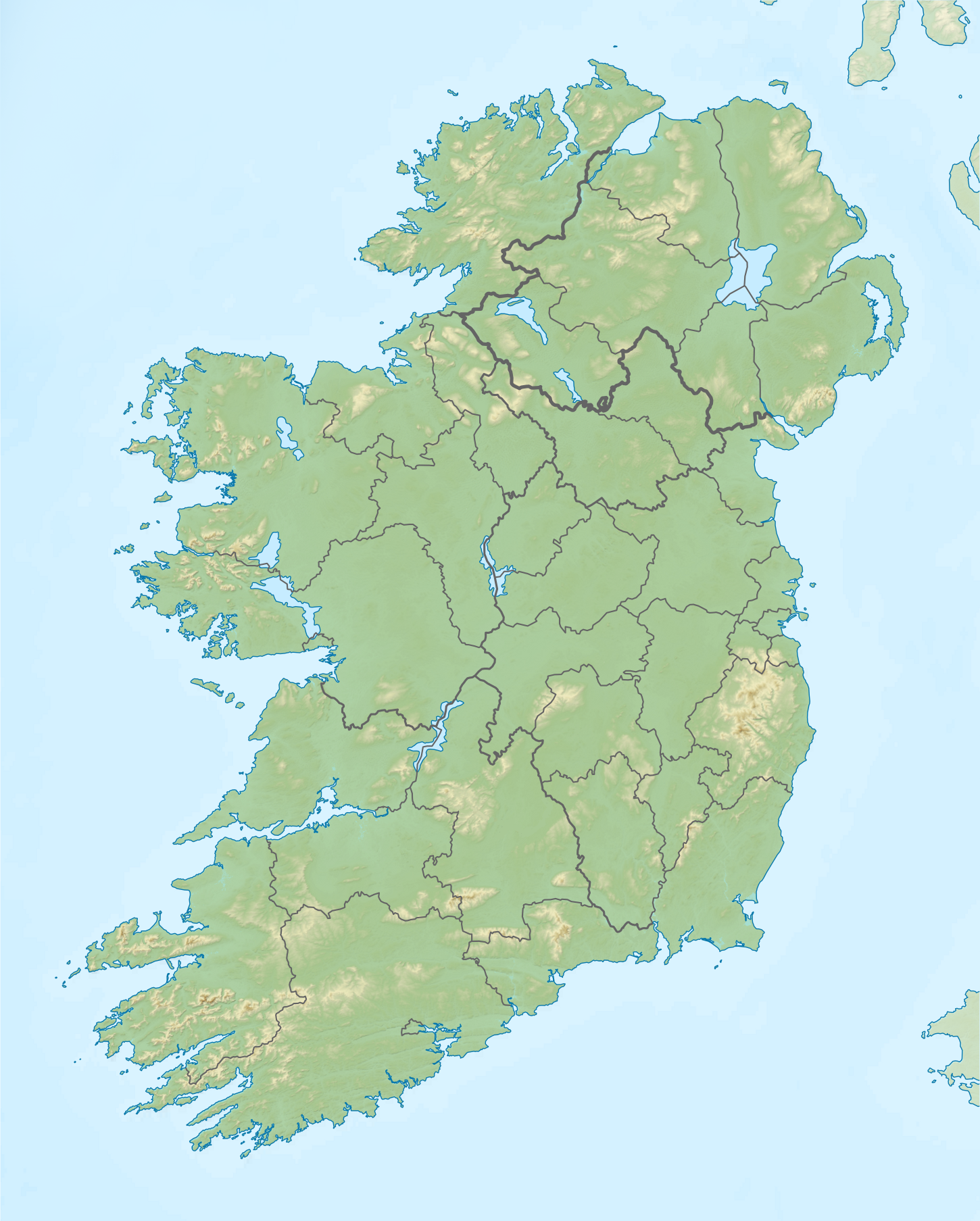
Relief map of Ireland Equirectangular map projection on WGS 84 datum, with N/S stretched 170% Geographic limits:
|
| Терахь | |
| Хьост |
Shuttle Radar Topography Mission
National Geospatial-Intelligence Agency
File:Island of Ireland location map.svg: Rannpháirtí anaithnid
|
| Автор | Nilfanion |
| Бакъонаш (Йуха хӀара файл лелор) |
ХӀара файл лело йиш йу Creative Commons Attribution-Share Alike 3.0 Unported лицензица.
|
Куьг
ХӀокху файл тӀера элементаш
гойту объект
ХӀокху билгалонан цхьадолу маьӀнаш ду элемент йоцуш
15 апрель 2012
Файлан истори
Тlетаlаде терахь/хан, муха хилла хьажарна и файл.
| Терахь/Хан | Жима | Файлан барам | Декъашхо | Билгалдаккхар | |
|---|---|---|---|---|---|
| карара | 2019, 26 май, 12:36 | | 1450 × 1807 (2,07 Мб) | RaviC | updated per Wikipedia:Graphics_Lab/Map_workshop#Ireland_Relief_Map_-_2014_Changes |
| 2012, 8 май, 04:07 |  | 1450 × 1807 (1,75 Мб) | Spideog | Removed dark blue shading at top left for aesthetic balance reasons. It was distracting, and the the map is for terrestrial rather than bathymetric purposes. | |
| 2012, 15 апрель, 22:44 |  | 1450 × 1807 (1,6 Мб) | Nilfanion | {{Information |Description=Relief map of Ireland Equirectangular map projection on WGS 84 datum, with N/S stretched 170% Geographic limits: *West: 11.0° W *East: 5.0° W *North: 55.6° N *South: 51.2° N |Source= [[w:Shuttle Radar Topo... |
Файл лелор
ХӀара файл лахарчу 1 агӀонгахь лелош йу:
Глобалан файл лелор
ХӀара файл лелош йу лахахь гайтина йолу википедеш чохь:
- Лелор ar.wikipedia.org
- Лелор az.wikipedia.org
- Лелор be.wikipedia.org
- Лелор bn.wikipedia.org
- Лелор ceb.wikipedia.org
- Лелор da.wikipedia.org
- Лелор de.wikipedia.org
- Лелор en.wikipedia.org
- Achill Island
- Battle of the Boyne
- Newgrange
- Rock of Cashel
- MacGillycuddy's Reeks
- Hill of Tara
- Magh Slécht
- Lough Derg, County Donegal
- RMS Lusitania
- Turlough Hill
- Mourne Mountains
- Copeland Islands
- Valentia Island
- Skellig Islands
- Carrauntoohil
- Lough Owel
- Lough Ennell
- Treaty of Limerick
- Lough Swilly
- Lough Allen
- Lough Gur
- Mount Brandon
- Lebor na hUidre
- Clarkstown radio transmitter
- Second Battle of Athenry
Хьажа хӀара файл глобалан лелор.
Метахаамаш
ХӀокху файлаца кхин тӀе хаам бу, гуттара чуйоккхуш йолу терахьца чоьнашца йа тӀейоккхучуьнца. Нагахь файлан тӀаьхьа хийцам бинехь, тӀаккха цхьаболу барам цхьаьна ца ба мега хӀинцалера суьртаца.
| Шоралла | 47,24 тӀадамаш сантиметрна |
|---|---|
| Локхалла | 47,24 тӀадамаш сантиметрна |
| Лелина программа |
|