File:2012-04_Kietlice_06.jpg
From Wikipedia, the free encyclopedia
Original file (2,222 × 1,481 pixels, file size: 3.59 MB, MIME type: image/jpeg)
| This is a file from the Wikimedia Commons. Information from its description page there is shown below. Commons is a freely licensed media file repository. You can help. |
Summary
| Description2012-04 Kietlice 06.jpg |
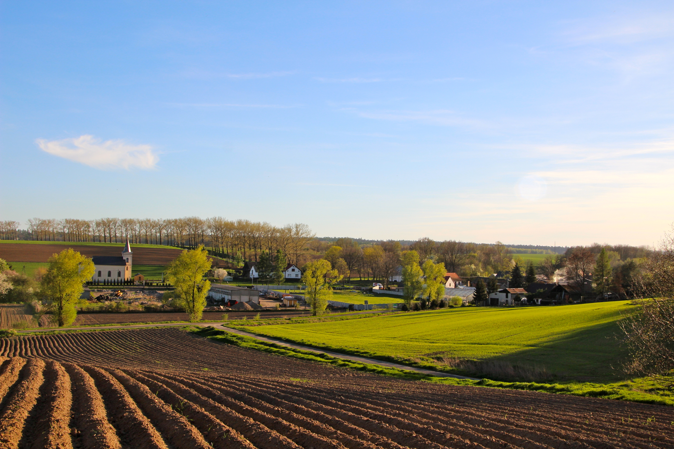
Polski: Kietlice - dawna kaplica cmentarna, obecnie rzymskokatolicki kościół filialny pw. św. Józefa, 1881.
Deutsch: Kietlice (Kittelwitz) ist ein Dorf in Polen in der Wojewodschaft Opole, Powiat Głubczycki, Gemeinde Głubczyce. |
| Date | |
| Source | Own work |
| Author | Ralf Lotys (Sicherlich) |
| Permission (Reusing this file) |
This file is licensed under the Creative Commons Attribution 3.0 Unported license. Attribution: Ralf Lotys (Sicherlich)
|
| Camera location | 50° 16′ 35.4″ N, 17° 49′ 12.6″ E | View this and other nearby images on: OpenStreetMap |
|---|
Licensing
This image has been assessed using the Quality image guidelines and is considered a Quality image.
العربية ∙ جازايرية ∙ беларуская ∙ беларуская (тарашкевіца) ∙ български ∙ বাংলা ∙ català ∙ čeština ∙ Cymraeg ∙ Deutsch ∙ Schweizer Hochdeutsch ∙ Zazaki ∙ Ελληνικά ∙ English ∙ Esperanto ∙ español ∙ eesti ∙ euskara ∙ فارسی ∙ suomi ∙ français ∙ galego ∙ עברית ∙ हिन्दी ∙ hrvatski ∙ magyar ∙ հայերեն ∙ Bahasa Indonesia ∙ italiano ∙ 日本語 ∙ Jawa ∙ ქართული ∙ 한국어 ∙ kurdî ∙ Lëtzebuergesch ∙ lietuvių ∙ македонски ∙ മലയാളം ∙ मराठी ∙ Bahasa Melayu ∙ Nederlands ∙ Norfuk / Pitkern ∙ polski ∙ português ∙ português do Brasil ∙ rumantsch ∙ română ∙ русский ∙ sicilianu ∙ slovenčina ∙ slovenščina ∙ shqip ∙ српски / srpski ∙ svenska ∙ தமிழ் ∙ తెలుగు ∙ ไทย ∙ Tagalog ∙ Türkçe ∙ toki pona ∙ українська ∙ vèneto ∙ Tiếng Việt ∙ 中文 ∙ 中文(简体) ∙ 中文(繁體) ∙ +/− |
Captions
Items portrayed in this file
depicts
50°16'35.40000"N, 17°49'12.60001"E
April 2012
image/jpeg
dbcd58ba43603d57728ecd4cf3b3550b742f626e
3,763,835 byte
1,481 pixel
2,222 pixel
File history
Click on a date/time to view the file as it appeared at that time.
| Date/Time | Thumbnail | Dimensions | User | Comment | |
|---|---|---|---|---|---|
| current | 17:08, 28 June 2012 | | 2,222 × 1,481 (3.59 MB) | Sicherlich |
File usage
Global file usage
The following other wikis use this file:
Metadata
This file contains additional information, probably added from the digital camera or scanner used to create or digitize it.
If the file has been modified from its original state, some details may not fully reflect the modified file.
| Camera manufacturer | Canon |
|---|---|
| Camera model | Canon EOS 600D |
| Author | Ralf Lotys |
| Copyright holder | Ralf Lotys |
| Exposure time | 1/125 sec (0.008) |
| F-number | f/10 |
| ISO speed rating | 100 |
| Date and time of data generation | 06:08, 1 April 2012 |
| Lens focal length | 28 mm |
| Latitude | 50° 16′ 35.4″ N |
| Longitude | 17° 49′ 12.6″ E |
| Altitude | 247.05 meters above sea level |
| Image title | Kietlice, Wojewodschaft Opole |
| Short title | Kietlice |
| Orientation | Normal |
| Horizontal resolution | 72 dpi |
| Vertical resolution | 72 dpi |
| Software used | QuickTime 7.7.1 |
| File change date and time | 18:38, 28 June 2012 |
| Exposure Program | Landscape mode (for landscape photos with the background in focus) |
| Exif version | 2.2 |
| Date and time of digitizing | 06:08, 1 April 2012 |
| Meaning of each component |
|
| Shutter speed | 7 |
| APEX aperture | 6.625 |
| Exposure bias | 0 |
| Maximum land aperture | 4 APEX (f/4) |
| Metering mode | Pattern |
| Flash | Flash did not fire, compulsory flash suppression |
| DateTime subseconds | 18 |
| DateTimeOriginal subseconds | 18 |
| DateTimeDigitized subseconds | 18 |
| Supported Flashpix version | 1 |
| Color space | sRGB |
| Focal plane X resolution | 5,728.1764705882 |
| Focal plane Y resolution | 5,808.4035087719 |
| Focal plane resolution unit | inches |
| Custom image processing | Normal process |
| Exposure mode | Auto exposure |
| White balance | Auto white balance |
| Scene capture type | Standard |
| GPS time (atomic clock) | 16:32:3200 |
| Geodetic survey data used | WGS-84 |
| GPS tag version | 2.2.0.0 |
| IIM version | 2 |
| Keywords |
|