File:Mt_Pinatubo_trekking_-_panoramio_(5).jpg
From Wikipedia, the free encyclopedia
Size of this preview: 800 × 531 pixels. Other resolutions: 320 × 213 pixels | 640 × 425 pixels | 1,024 × 680 pixels | 1,280 × 850 pixels | 2,560 × 1,700 pixels | 4,288 × 2,848 pixels.
Original file (4,288 × 2,848 pixels, file size: 6.42 MB, MIME type: image/jpeg)
| This is a file from the Wikimedia Commons. Information from its description page there is shown below. Commons is a freely licensed media file repository. You can help. |
Summary
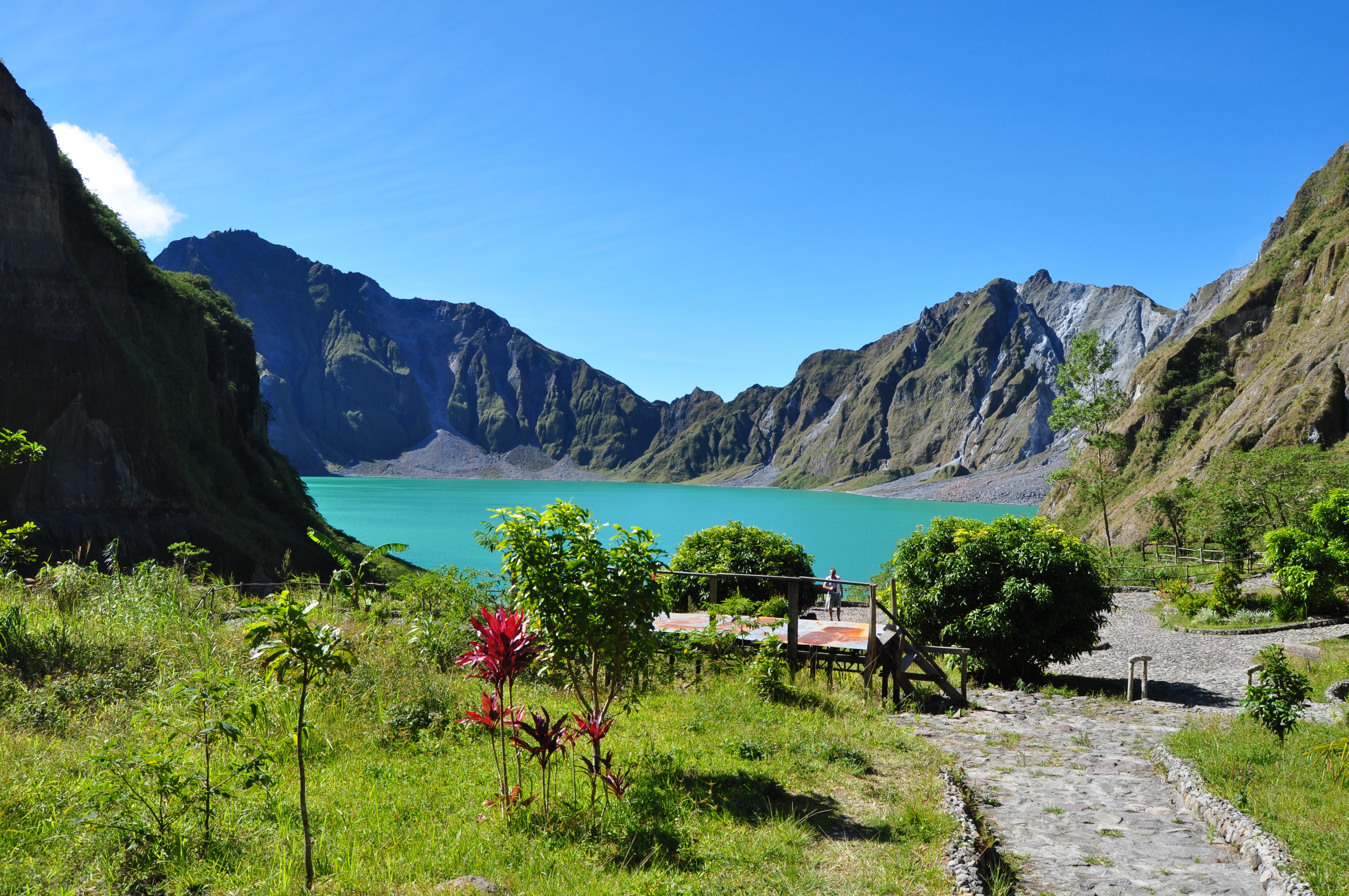
| DescriptionMt Pinatubo trekking - panoramio (5).jpg | Mt Pinatubo trekking | ||
| Date | Taken on 2 January 2012 | ||
| Source | https://web.archive.org/web/20161020224116/http://www.panoramio.com/photo/65958998 | ||
| Author | Sindre Helvik | ||
| Permission (Reusing this file) |
This file is licensed under the Creative Commons Attribution 3.0 Unported license. Attribution: Sindre Helvik
|
||
| Tags (from Panoramio photo page) InfoField | Botolan, 2012, Botolan, Central Luzon, Filippinene, Mount Pinatubo |
| Camera location | 15° 09′ 13.98″ N, 120° 21′ 11.35″ E | View this and other nearby images on: OpenStreetMap |
|---|
Captions
Add a one-line explanation of what this file represents
Items portrayed in this file
depicts
2 January 2012
15°9'13.979"N, 120°21'11.347"E
0.003125 second
10
18 millimetre
200
File history
Click on a date/time to view the file as it appeared at that time.
| Date/Time | Thumbnail | Dimensions | User | Comment | |
|---|---|---|---|---|---|
| current | 02:12, 26 December 2016 | | 4,288 × 2,848 (6.42 MB) | Panoramio upload bot | == {{int:filedesc}} == {{Information |description=Mt Pinatubo trekking |date={{Taken on|2012-01-02}} |source=http://www.panoramio.com/photo/65958998 |author=[http://www.panoramio.com/user/189507?with_photo_id=65958998 Sindre Helvik] |permission={{cc-by... |
File usage
The following pages on the English Wikipedia use this file (pages on other projects are not listed):
Global file usage
The following other wikis use this file:
- Usage on ca.wikipedia.org
- Usage on cs.wikipedia.org
- Usage on io.wikipedia.org
Metadata
This file contains additional information, probably added from the digital camera or scanner used to create or digitize it.
If the file has been modified from its original state, some details may not fully reflect the modified file.
| Camera manufacturer | NIKON CORPORATION |
|---|---|
| Camera model | NIKON D5000 |
| Exposure time | 1/320 sec (0.003125) |
| F-number | f/10 |
| ISO speed rating | 200 |
| Date and time of data generation | 04:18, 2 January 2012 |
| Lens focal length | 18 mm |
| Latitude | 15° 9′ 13.98″ N |
| Longitude | 120° 21′ 11.35″ E |
| Altitude | 977 meters above sea level |
| Orientation | Normal |
| Horizontal resolution | 300 dpi |
| Vertical resolution | 300 dpi |
| Software used | Ver.1.00 |
| File change date and time | 04:18, 2 January 2012 |
| Y and C positioning | Co-sited |
| Exposure Program | Not defined |
| Exif version | 2.21 |
| Date and time of digitizing | 04:18, 2 January 2012 |
| Meaning of each component |
|
| Image compression mode | 4 |
| Exposure bias | 0 |
| Maximum land aperture | 3.6 APEX (f/3.48) |
| Metering mode | Pattern |
| Light source | Unknown |
| Flash | Flash did not fire, auto mode |
| DateTime subseconds | 00 |
| DateTimeOriginal subseconds | 00 |
| DateTimeDigitized subseconds | 00 |
| Supported Flashpix version | 1 |
| Color space | sRGB |
| Sensing method | One-chip color area sensor |
| File source | Digital still camera |
| Scene type | A directly photographed image |
| Custom image processing | Normal process |
| Exposure mode | Auto exposure |
| White balance | Auto white balance |
| Digital zoom ratio | 1 |
| Focal length in 35 mm film | 27 mm |
| Scene capture type | Landscape |
| Scene control | None |
| Contrast | Normal |
| Saturation | Normal |
| Sharpness | Normal |
| Subject distance range | Unknown |
| GPS time (atomic clock) | 02:15 |
| Satellites used for measurement | 06 |
| Geodetic survey data used | WGS 84 |
| GPS date | 2 January 2012 |
| GPS tag version | 2.2.0.0 |
.jpg)