Файл:Relief_Map_of_Turkmenistan.png
From Wikipedia, the free encyclopedia
Памер папярэдняга прагляду: 800 × 568 пікселяў. Іншыя разрозненні: 320 × 227 пікселяў | 640 × 454 пікселяў | 1 024 × 727 пікселяў | 1 237 × 878 пікселяў.
Арыгінальны файл (1 237 × 878 кропак, аб’ём файла: 1,07 MB, тып MIME: image/png)
Гэты файл з на Вікісховішчы і можа выкарыстоўвацца іншымі праектамі. Апісанне на яго старонцы ў Wikimedia Commons прыведзена ніжэй.

|
This map image could be re-created using vector graphics as an SVG file. This has several advantages; see Commons:Media for cleanup for more information. If an SVG form of this image is available, please upload it and afterwards replace this template with
{{vector version available|new image name}}.
It is recommended to name the SVG file “Relief Map of Turkmenistan.svg”—then the template Vector version available (or Vva) does not need the new image name parameter. |
Тлумачэнне
| АпісаннеRelief Map of Turkmenistan.png |
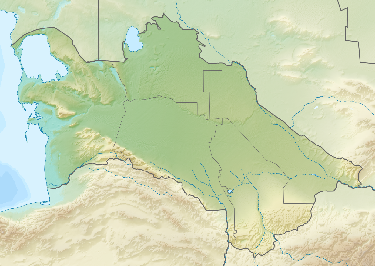
English: Relief map of Turkmenistan
Equirectangular projection, N/S stretching 130 %. Geographic limits of the map:
|
| Дата | |
| Крыніца | |
| Аўтар |
|
| Дазвол (Паўторнае выкарыстанне гэтага файла) |
Гэты файл даступны па ліцэнзіі Creative Commons Пазначэнне аўтарства - На тых самых умовах 3.0 Непартаваная
|
Назвы
Апішыце ў адным радку, што ўяўляе сабой гэты файл
Элементы, адлюстраваныя на гэтым файле
адлюстроўвае
27 жніўня 2010
Гісторыя файла
Націснуць на даце з часам, каб паказаць файл, якім ён тады быў.
| Дата і час | Драбніца | Памеры | Удзельнік | Тлумачэнне | |
|---|---|---|---|---|---|
| актуальн. | 16:14, 27 жніўня 2010 | | 1 237 × 878 (1,07 MB) | Виктор В | == {{int:filedesc}} == {{Information |Description={{en|Relief map of Turkmenistan}} Equirectangular projection, N/S stretching 130 %. Geographic limits of the map: * N: 43.2° N * S: 34.9° N * W: 52.0° E * E: 67.2° E |Source=*[[:Fi |
Выкарыстанне файла
Наступныя 8 старонак выкарыстоўваюць гэты файл:
Глабальнае выкарыстанне файла
Гэты файл выкарыстоўваецца ў наступных вікі:
- Выкарыстанне ў ar.wikipedia.org
- Выкарыстанне ў ast.wikipedia.org
- Выкарыстанне ў av.wikipedia.org
- Выкарыстанне ў azb.wikipedia.org
- Выкарыстанне ў az.wikipedia.org
- Şablon:Yer xəritəsi Türkmənistan
- Qaraqum səhrası
- Aşqabad zəlzələsi (1948)
- Kopetdağ
- Çələkən Oğurçalı boğazı
- Çələkən yarımadası
- Türkmənbaşı yarımadası
- Dərdcə yarımadası
- Oğurca
- Cənub-şərqi Qaraqum
- Sandıqlı çölü
- Zaunquz Qaraqumu
- Mərkəzi Qaraqum
- Sarıqamış gölü
- Altın əsr
- Qaraboğazgöl boğazı
- Baharlı mağarası
- Böyük oyun
- Выкарыстанне ў ba.wikipedia.org
- Выкарыстанне ў be-tarask.wikipedia.org
- Выкарыстанне ў bg.wikipedia.org
Паказаць глабальнае выкарыстанне гэтага файла.