চিত্র:Metro_atlanta.jpg
From Wikipedia, the free encyclopedia
এই প্রাকদর্শনের আকার: ৫৭০ × ৫৯৯ পিক্সেল। অন্যান্য আকারসমূহ: ২২৮ × ২৪০ পিক্সেল | ৪৫৬ × ৪৮০ পিক্সেল | ৭৩০ × ৭৬৮ পিক্সেল | ১,০২৫ × ১,০৭৮ পিক্সেল।
পূর্ণ রেজোলিউশন (১,০২৫ × ১,০৭৮ পিক্সেল, ফাইলের আকার: ৩৮৫ কিলোবাইট, এমআইএমই ধরন: image/jpeg)
| এই ফাইলটি উইকিমিডিয়া কমন্স থেকে নেওয়া। সেখানের বর্ণনা পাতার বিস্তারিত নিম্নে দেখানো হলো। (সম্পাদনা)
|

|
This map image could be re-created using vector graphics as an SVG file. This has several advantages; see Commons:Media for cleanup for more information. If an SVG form of this image is available, please upload it and afterwards replace this template with
{{vector version available|new image name}}.
It is recommended to name the SVG file “Metro atlanta.svg”—then the template Vector version available (or Vva) does not need the new image name parameter. |
 | This map image was uploaded in the JPEG format even though it consists of non-photographic data. This information could be stored more efficiently or accurately in the PNG or SVG format. If possible, please upload a PNG or SVG version of this image without compression artifacts, derived from a non-JPEG source (or with existing artifacts removed). After doing so, please tag the JPEG version with {{Superseded|NewImage.ext}} and remove this tag. This tag should not be applied to photographs or scans. If this image is a diagram or other image suitable for vectorisation, please tag this image with {{Convert to SVG}} instead of {{BadJPEG}}. If not suitable for vectorisation, use {{Convert to PNG}}. For more information, see {{BadJPEG}}. |  |
সারাংশ
| বিবরণMetro atlanta.jpg |
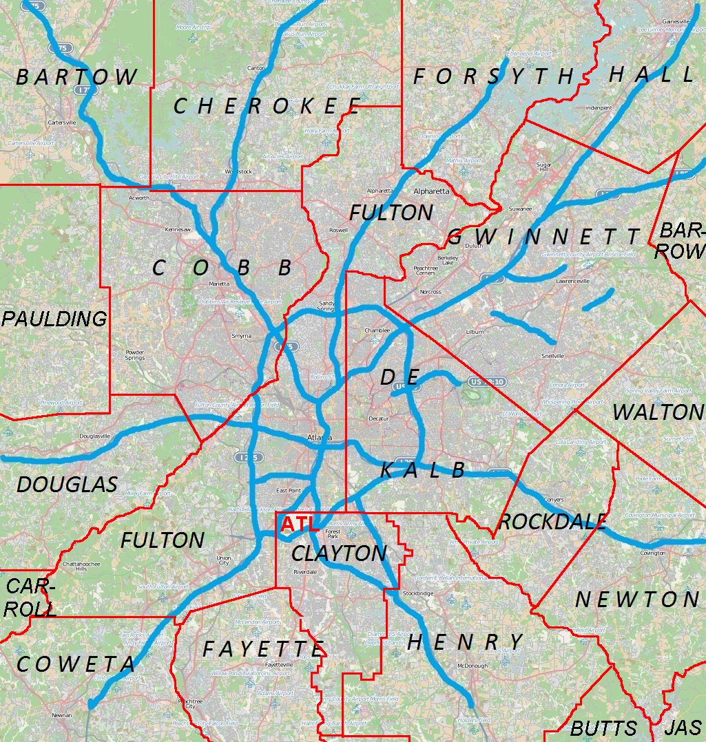
English: Metro Atlanta from Open Street Map |
| তারিখ | |
| উৎস | Open street map |
| লেখক | Open street map |
লাইসেন্স প্রদান
এই ফাইলটি ক্রিয়েটিভ কমন্স অ্যাট্রিবিউশন ২.৫ জেনেরিক লাইসেন্সের আওতায় লাইসেন্সকৃত।
- আপনি স্বাধীনভাবে:
- বণ্টন করতে পারেন – এ কাজটি অনুলিপি, বিতরণ এবং প্রেরণ করতে পারেন
- পুনঃমিশ্রণ করতে পারেন – কাজটি অভিযোজন করতে পারেন
- নিম্নের শর্তাবলীর ভিত্তিতে:
- স্বীকৃতিপ্রদান – আপনাকে অবশ্যই যথাযথ স্বীকৃতি প্রদান করতে হবে, লাইসেন্সের একটি লিঙ্ক সরবরাহ করতে হবে এবং কোনো পরিবর্তন হয়েছে কিনা তা নির্দেশ করতে হবে। আপনি যেকোনো যুক্তিসঙ্গত পদ্ধতিতে এটি করতে পারেন। কিন্তু এমন ভাবে নয়, যাতে প্রকাশ পায় যে লাইসেন্সধারী আপনাকে বা আপনার এই ব্যবহারের জন্য অনুমোদন দিয়েছে।
ক্যাপশন
এই ফাইল কি প্রতিনিধিত্ব করছে তার এক লাইন ব্যাখ্যা যোগ করুন
এই ফাইলে চিত্রিত আইটেমগুলি
যা চিত্রিত করে
১২ এপ্রিল 2011
image/jpeg
ফাইলের ইতিহাস
যেকোনো তারিখ/সময়ে ক্লিক করে দেখুন ফাইলটি তখন কী অবস্থায় ছিল।
| তারিখ/সময় | সংক্ষেপচিত্র | মাত্রা | ব্যবহারকারী | মন্তব্য | |
|---|---|---|---|---|---|
| বর্তমান | ০০:৪৪, ১৮ এপ্রিল ২০১১ | | ১,০২৫ × ১,০৭৮ (৩৮৫ কিলোবাইট) | Keizers | +county borders and airport |
| ১৭:২২, ১৫ এপ্রিল ২০১১ |  | ১,০২৫ × ১,০৭৮ (৫৭১ কিলোবাইট) | Keizers | shows all counties now | |
| ১৭:৩৮, ১৪ এপ্রিল ২০১১ |  | ১,০২৫ × ১,০৭৮ (৫৪৮ কিলোবাইট) | Keizers | added thicker freeway lines and 3 key county names | |
| ১৫:১৬, ১৪ এপ্রিল ২০১১ |  | ১,০২৫ × ১,০৭৮ (৩৬২ কিলোবাইট) | Keizers | {{Information |Description ={{en|1=Metro Atlanta from Open Street Map}} |Source =Open street map |Author =Open street map |Date =2011-04-12 |Permission = |other_versions = }} Category:Atlanta maps |
সংযোগসমূহ
নিচের পৃষ্ঠা(গুলো) থেকে এই ছবিতে সংযোগ আছে:
ফাইলের বৈশ্বিক ব্যবহার
নিচের অন্যান্য উইকিগুলো এই ফাইলটি ব্যবহার করে:
- ar.wikipedia.org-এ ব্যবহার
- ban.wikipedia.org-এ ব্যবহার
- bcl.wikipedia.org-এ ব্যবহার
- ceb.wikipedia.org-এ ব্যবহার
- de.wikipedia.org-এ ব্যবহার
- en.wikipedia.org-এ ব্যবহার
- Cobb County, Georgia
- Canton, Georgia
- Holly Springs, Georgia
- Woodstock, Georgia
- College Park, Georgia
- Forest Park, Georgia
- Jonesboro, Georgia
- Austell, Georgia
- Kennesaw, Georgia
- Mableton, Georgia
- Marietta, Georgia
- Vinings, Georgia
- Newnan, Georgia
- Avondale Estates, Georgia
- Belvedere Park, Georgia
- Candler-McAfee, Georgia
- Chamblee, Georgia
- Decatur, Georgia
- Doraville, Georgia
- Lithonia, Georgia
- Panthersville, Georgia
- Scottdale, Georgia
- Stone Mountain, Georgia
- Douglasville, Georgia
- Cumming, Georgia
- Alpharetta, Georgia
- East Point, Georgia
- Fairburn, Georgia
- Roswell, Georgia
- Sandy Springs, Georgia
- Buford, Georgia
- Lawrenceville, Georgia
- Loganville, Georgia
- Norcross, Georgia
- Rest Haven, Georgia
- Snellville, Georgia
- Suwanee, Georgia
- Stockbridge, Georgia
- Covington, Georgia
- Dallas, Georgia
- Hiram, Georgia
- Conyers, Georgia
- Oglethorpe University
- Big Chicken
- Kennesaw Mountain National Battlefield Park
এই ফাইলের অন্যান্য বৈশ্বিক ব্যবহার দেখুন।
অধি-উপাত্ত
এই ফাইলে অতিরিক্ত কিছু তথ্য আছে। সম্ভবত যে ডিজিটাল ক্যামেরা বা স্ক্যানারের মাধ্যমে এটি তৈরি বা ডিজিটায়িত করা হয়েছিল, সেটি কর্তৃক তথ্যগুলি যুক্ত হয়েছে। যদি ফাইলটি তার আদি অবস্থা থেকে পরিবর্তিত হয়ে থাকে, কিছু কিছু বিবরণ পরিবর্তিত ফাইলটির জন্য প্রযোজ্য না-ও হতে পারে।
| _error | ০ |
|---|