Fitxer:Karte_Zürichsee.png
From Wikipedia, the free encyclopedia
Mida d'aquesta previsualització: 720 × 599 píxels. Altres resolucions: 288 × 240 píxels | 577 × 480 píxels | 923 × 768 píxels | 1.181 × 983 píxels.
Fitxer original (1.181 × 983 píxels, mida del fitxer: 232 Ko, tipus MIME: image/png)
| Aquest fitxer i la informació mostrada a continuació provenen del dipòsit multimèdia lliure Wikimedia Commons. |
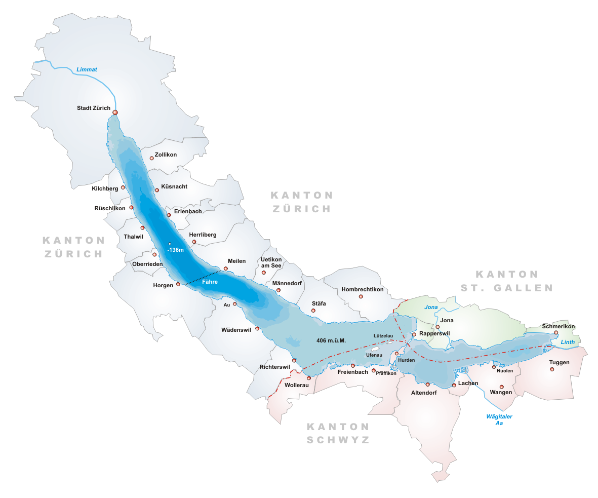
- Description: Map of Zürichsee, Switzerland
- Designer: Tschubby
- Licence:

|
S'autoritza la còpia, la distribució i la modificació d'aquest document sota els termes de la llicència de documentació lliure GNU versió 1.2 o qualsevol altra versió posterior que publiqui la Free Software Foundation; sense seccions invariants, ni textos de portada, ni textos de contraportada. S'inclou una còpia d'aquesta llicència en la secció titulada GNU Free Documentation License.http://www.gnu.org/copyleft/fdl.htmlGFDLGNU Free Documentation Licensetruetrue |
| Aquest fitxer està subjecte a la llicència de Creative Commons Reconeixement i Compartir Igual 3.0 No adaptada. | ||
| ||
| Aquest avís de llicència s'ha afegit a aquest fitxer d'acord amb l'actualització de la llicència GFDL.http://creativecommons.org/licenses/by-sa/3.0/CC BY-SA 3.0Creative Commons Attribution-Share Alike 3.0truetrue |
Llegendes
Afegeix una explicació d'una línia del que representa aquest fitxer
Gemeinden und Kantone am Zürichsee
Elements representats en aquest fitxer
representa l'entitat
Historial del fitxer
Cliqueu una data/hora per veure el fitxer tal com era aleshores.
| Data/hora | Miniatura | Dimensions | Usuari/a | Comentari | |
|---|---|---|---|---|---|
| actual | 20:14, 22 juny 2005 | | 1.181 × 983 (232 Ko) | Tschubby | *Description: Map of Zürichsee, Switzerland *Designer: Tschubby *Licence: {{GFDL}} Category:Maps of Swiss lakes |
Ús del fitxer
La pàgina següent utilitza aquest fitxer:
Ús global del fitxer
Utilització d'aquest fitxer en altres wikis:
- Utilització a ar.wikipedia.org
- Utilització a arz.wikipedia.org
- Utilització a ast.wikipedia.org
- Utilització a be.wikipedia.org
- Utilització a bs.wikipedia.org
- Utilització a ceb.wikipedia.org
- Utilització a cs.wikipedia.org
- Utilització a de.wikipedia.org
- Utilització a en.wikipedia.org
- Lake Zurich
- Canton of Schwyz
- Limmat
- Linth
- Canton of Zürich
- Erlenbach, Switzerland
- Rapperswil-Jona
- Männedorf
- Meilen
- Canton of St. Gallen
- Schmerikon
- Wurmsbach Abbey
- Uerikon
- Kehlhof
- Stäfa
- Uetikon am See
- Herrliberg
- Küsnacht
- Arboretum
- Feldbach, Switzerland
- Lachen, Switzerland
- Horgen
- Zürich Stadelhofen railway station
- Thalwil
- Zürcher Verkehrsverbund
- S7 (ZVV)
- Kilchberg, Zürich
- Pfäffikon, Schwyz
- Albis
- Uetliberg
- Sihl
- Rüschlikon
- Rudolf Brun
- March District
- Zürichberg
- Horgen District
- Oberrieden
- Freienbach
- Altendorf, Schwyz
Vegeu més usos globals d'aquest fitxer.
Obtingut de «https://ca.wikipedia.org/wiki/Fitxer:Karte_Zürichsee.png»