File:'The_Farmer's_Boy'_public_house_at_Brickendon_-_geograph.org.uk_-_1494088.jpg
From Wikipedia, the free encyclopedia
No higher resolution available.
'The_Farmer's_Boy'_public_house_at_Brickendon_-_geograph.org.uk_-_1494088.jpg (640 × 436 pixels, file size: 67 KB, MIME type: image/jpeg)
| This is a file from the Wikimedia Commons. Information from its description page there is shown below. Commons is a freely licensed media file repository. You can help. |
Summary
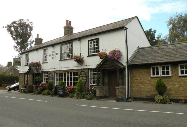
| Description'The Farmer's Boy' public house at Brickendon - geograph.org.uk - 1494088.jpg |
English: 'The Farmer's Boy' public house at Brickendon |
| Date | |
| Source | From geograph.org.uk |
| Author | Robert Edwards |
| Attribution (required by the license) InfoField | Robert Edwards / 'The Farmer's Boy' public house at Brickendon / |
InfoField | Robert Edwards / 'The Farmer's Boy' public house at Brickendon |
| Camera location | 51° 45′ 19″ N, 0° 05′ 04″ W | View this and other nearby images on: OpenStreetMap |
|---|
| Object location | 51° 45′ 20″ N, 0° 05′ 05″ W | View this and other nearby images on: OpenStreetMap |
|---|
Licensing

|
This image was taken from the Geograph project collection. See this photograph's page on the Geograph website for the photographer's contact details. The copyright on this image is owned by Robert Edwards and is licensed for reuse under the Creative Commons Attribution-ShareAlike 2.0 license.
|
This file is licensed under the Creative Commons Attribution-Share Alike 2.0 Generic license.
Attribution: Robert Edwards
- You are free:
- to share – to copy, distribute and transmit the work
- to remix – to adapt the work
- Under the following conditions:
- attribution – You must give appropriate credit, provide a link to the license, and indicate if changes were made. You may do so in any reasonable manner, but not in any way that suggests the licensor endorses you or your use.
- share alike – If you remix, transform, or build upon the material, you must distribute your contributions under the same or compatible license as the original.
Captions
Add a one-line explanation of what this file represents
Items portrayed in this file
depicts
some value
51°45'19.04"N, 0°5'3.84"W
9 September 2009
51°45'19.73"N, 0°5'4.56"W
image/jpeg
2368f38af255d6e88bbf75280012de1344598dc1
68,150 byte
436 pixel
640 pixel
File history
Click on a date/time to view the file as it appeared at that time.
| Date/Time | Thumbnail | Dimensions | User | Comment | |
|---|---|---|---|---|---|
| current | 16:29, 2 March 2011 | | 640 × 436 (67 KB) | GeographBot | == {{int:filedesc}} == {{Information |description={{en|1='The Farmer's Boy' public house at Brickendon}} |date=2009-09-09 |source=From [http://www.geograph.org.uk/photo/1494088 geograph.org.uk] |author=[http://www.geograph.org.uk/profile/3763 Robert Edwar |
File usage
The following pages on the English Wikipedia use this file (pages on other projects are not listed):