File:1927_Mississippi_flood_Mounds-Cairo_IL_highway.jpg
From Wikipedia, the free encyclopedia
Size of this preview: 800 × 522 pixels. Other resolutions: 320 × 209 pixels | 640 × 418 pixels | 1,024 × 668 pixels | 1,280 × 836 pixels | 1,820 × 1,188 pixels.
Original file (1,820 × 1,188 pixels, file size: 421 KB, MIME type: image/jpeg)
| This is a file from the Wikimedia Commons. Information from its description page there is shown below. Commons is a freely licensed media file repository. You can help. |
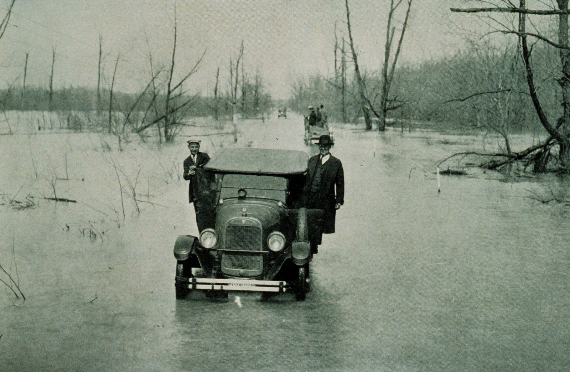
| Description1927 Mississippi flood Mounds-Cairo IL highway.jpg | The Great Mississippi Flood of 1927, U.S. Route 51 between Mounds, Illinois, and Cairo, Illinois. River stage at Cairo, 52.8 feet. From "The Floods of 1927 in the Mississippi Basin", Frankenfeld, H.C., 1927 Monthly Weather Review Supplement No. 29. | ||||
| Date | |||||
| Source | NOAA photo library filename wea00735: originally at [1] (now at [2]) | ||||
| Author | Archival Photography by Steve Nicklas, NOS, NGS | ||||
| Permission (Reusing this file) |
|
||||
| Other versions |
|

Captions
Add a one-line explanation of what this file represents
Items portrayed in this file
depicts
25 March 1927Gregorian
image/jpeg
57dd3a131562aff28f918c984667168755d03fdf
431,076 byte
1,188 pixel
1,820 pixel
File history
Click on a date/time to view the file as it appeared at that time.
| Date/Time | Thumbnail | Dimensions | User | Comment | |
|---|---|---|---|---|---|
| current | 11:56, 30 December 2006 | | 1,820 × 1,188 (421 KB) | Wisekwai | {{Information |Description=The Great Mississippi River Flood of 1927 Highway between Mounds, Illinois, and Cairo Illinois, March 25, 1927 - river stage at Cairo, Illinois., 52.8 feet From: "The Floods of 1927 in the Mississippi Basin", Frankenfeld, H.C., |
File usage
The following pages on the English Wikipedia use this file (pages on other projects are not listed):
Global file usage
The following other wikis use this file:
- Usage on de.wikipedia.org
- Usage on en.wikinews.org
- Usage on es.wikipedia.org
- Usage on fr.wikipedia.org
- Usage on he.wiktionary.org
- Usage on th.wikipedia.org