File:2021-05-07_Jennersdorf_StWenzel2.jpg
From Wikipedia, the free encyclopedia
Size of this preview: 800 × 533 pixels. Other resolutions: 320 × 213 pixels | 640 × 426 pixels | 1,024 × 682 pixels | 1,280 × 852 pixels | 2,560 × 1,704 pixels | 5,354 × 3,564 pixels.
Original file (5,354 × 3,564 pixels, file size: 13.58 MB, MIME type: image/jpeg)
| This is a file from the Wikimedia Commons. Information from its description page there is shown below. Commons is a freely licensed media file repository. You can help. |
Summary
| Description2021-05-07 Jennersdorf StWenzel2.jpg |
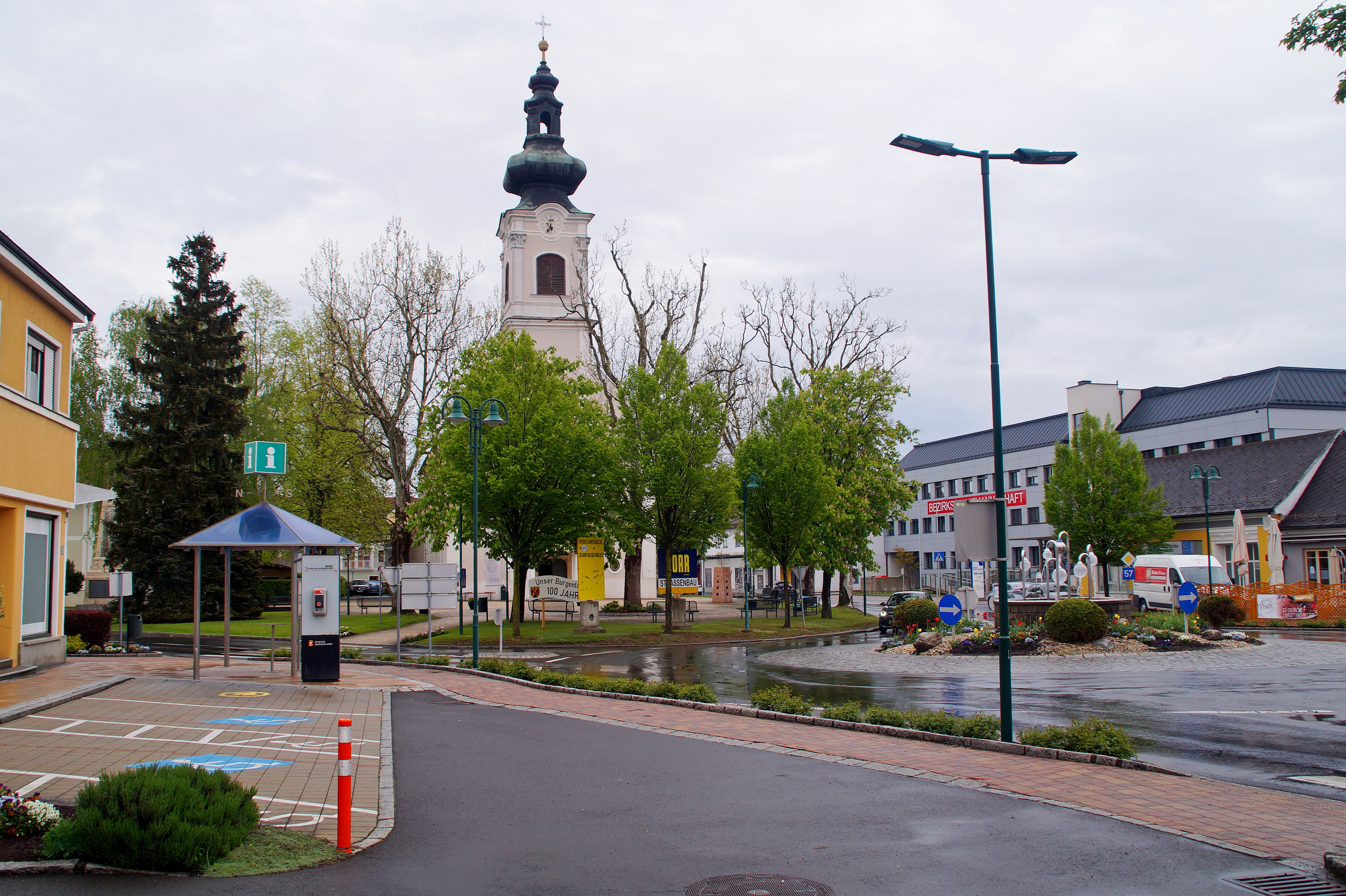
Deutsch: Kath. Pfarrkirche hl. Wenzel in Jennersdorf, Burgenland, Österreich
|
| Date | |
| Source | Own work |
| Author | TheRunnerUp |
| Camera location | 46° 56′ 14.08″ N, 16° 08′ 25.27″ E | View this and other nearby images on: OpenStreetMap |
|---|
|
|
Deutsch: Dieses Foto wurde von Robert Kropf (User:TheRunnerUp) erstellt und unter der Lizenz CC BY-SA 4.0 veröffentlicht. Das Bild kann frei verwendet werden, wenn die Lizenzbestimmungen eingehalten werden. Das Betrifft insbesondere die Nennung des Namens und der Lizenz in der Form: © Robert Kropf (CC BY-SA 4.0). Genaueres finden Sie in der Beschreibung der Lizenz
English: This photo was taken by Robert Kropf (User:TheRunnerUp) and released under the license CC BY-SA 4.0. You are free to use it for any purpose as long as you credit me as the author in the following format: © Robert Kropf (CC BY-SA 4.0) and follow the terms of the license, which you can find here.
|
|
|
|
This file has been released under a license which is incompatible with Facebook's licensing terms. It is not permitted to upload this file to Facebook. |
Licensing
I, the copyright holder of this work, hereby publish it under the following license:
This file is licensed under the Creative Commons Attribution-Share Alike 4.0 International license.
- You are free:
- to share – to copy, distribute and transmit the work
- to remix – to adapt the work
- Under the following conditions:
- attribution – You must give appropriate credit, provide a link to the license, and indicate if changes were made. You may do so in any reasonable manner, but not in any way that suggests the licensor endorses you or your use.
- share alike – If you remix, transform, or build upon the material, you must distribute your contributions under the same or compatible license as the original.

|
Diese Datei wurde im Rahmen von WikiDaheim 2021 in Österreich erstellt und hochgeladen. Sie wurde dem Themenbereich Denkmalschutz zugeordnet. |
Captions
Add a one-line explanation of what this file represents
Items portrayed in this file
depicts
some value
7 May 2021
46°56'14.082"N, 16°8'25.267"E
0.008 second
5.6
22 millimetre
100
image/jpeg
4f43d2df41d2be4355719d0f4a9b0edb2c372556
14,238,914 byte
3,564 pixel
5,354 pixel
File history
Click on a date/time to view the file as it appeared at that time.
| Date/Time | Thumbnail | Dimensions | User | Comment | |
|---|---|---|---|---|---|
| current | 19:14, 6 July 2021 | | 5,354 × 3,564 (13.58 MB) | TheRunnerUp | Uploaded own work with UploadWizard |
File usage
The following pages on the English Wikipedia use this file (pages on other projects are not listed):
Global file usage
The following other wikis use this file:
- Usage on et.wikipedia.org
- Usage on fa.wikipedia.org
- Usage on ja.wikipedia.org
- Usage on kk.wikipedia.org
- Usage on tr.wikipedia.org
- Usage on vo.wikipedia.org
- Usage on war.wikipedia.org
Metadata
This file contains additional information, probably added from the digital camera or scanner used to create or digitize it.
If the file has been modified from its original state, some details may not fully reflect the modified file.
| Camera manufacturer | SONY |
|---|---|
| Camera model | SLT-A58 |
| Exposure time | 1/125 sec (0.008) |
| F-number | f/5.6 |
| ISO speed rating | 100 |
| Date and time of data generation | 17:35, 7 May 2021 |
| Lens focal length | 22 mm |
| Latitude | 46° 56′ 14.08″ N |
| Longitude | 16° 8′ 25.27″ E |
| Altitude | 291.17 meters above sea level |
| Orientation | Normal |
| Horizontal resolution | 350 dpi |
| Vertical resolution | 350 dpi |
| Software used | SLT-A58 v1.00 |
| File change date and time | 17:35, 7 May 2021 |
| Y and C positioning | Co-sited |
| Exposure Program | Normal program |
| Exif version | 2.3 |
| Date and time of digitizing | 17:35, 7 May 2021 |
| Meaning of each component |
|
| Image compression mode | 2 |
| APEX brightness | 8.23984375 |
| Exposure bias | 0.3 |
| Maximum land aperture | 3.6171875 APEX (f/3.5) |
| Metering mode | Pattern |
| Light source | Unknown |
| Flash | Flash did not fire, compulsory flash suppression |
| Supported Flashpix version | 1 |
| Color space | sRGB |
| File source | Digital still camera |
| Scene type | A directly photographed image |
| Custom image processing | Normal process |
| Exposure mode | Auto exposure |
| White balance | Auto white balance |
| Digital zoom ratio | 1 |
| Focal length in 35 mm film | 33 mm |
| Scene capture type | Standard |
| Contrast | Normal |
| Saturation | Normal |
| Sharpness | Normal |
| GPS tag version | 0.0.2.2 |
| Supported Flashpix version | 1 |
| Latitude destination | 46° 56′ 14.13″ N |
| Longitude of destination | 16° 8′ 28.09″ E |
| Direction of image | 88.59 |
| Reference for direction of image | True direction |
| Geodetic survey data used | WGS-84 |
| GPS date | 15:35, 7 May 2021 |
| Image width | 5,456 px |
| Image height | 3,632 px |
| Compression scheme | JPEG (old) |
| IIM version | 4 |