File:Anemometer.jpg
From Wikipedia, the free encyclopedia
Size of this preview: 540 × 599 pixels. Other resolutions: 216 × 240 pixels | 433 × 480 pixels | 692 × 768 pixels | 1,088 × 1,207 pixels.
Original file (1,088 × 1,207 pixels, file size: 157 KB, MIME type: image/jpeg)
| This is a file from the Wikimedia Commons. Information from its description page there is shown below. Commons is a freely licensed media file repository. You can help. |
Summary
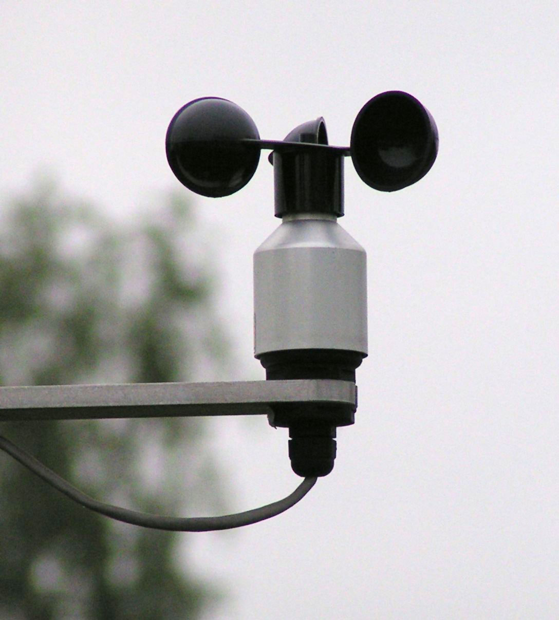
| DescriptionAnemometer.jpg |
Deutsch: Schalenkreuzanemometer
English: Anemometer
Español: Anemómetro de molinete |
||||||||||||||||||||
| Date | 13 May 2004 | ||||||||||||||||||||
| Source | Own work | ||||||||||||||||||||
| Author |
creator QS:P170,Q106975068 |
||||||||||||||||||||

| Camera location | 49° 44′ 54.83″ N, 6° 40′ 28.97″ E | View this and other nearby images on: OpenStreetMap |
|---|
Licensing
I, the copyright holder of this work, hereby publish it under the following licenses:
| This file is made available under the Creative Commons CC0 1.0 Universal Public Domain Dedication. | |
| The person who associated a work with this deed has dedicated the work to the public domain by waiving all of their rights to the work worldwide under copyright law, including all related and neighboring rights, to the extent allowed by law. You can copy, modify, distribute and perform the work, even for commercial purposes, all without asking permission.
http://creativecommons.org/publicdomain/zero/1.0/deed.enCC0Creative Commons Zero, Public Domain Dedicationfalsefalse |

|
Permission is granted to copy, distribute and/or modify this document under the terms of the GNU Free Documentation License, Version 1.2 or any later version published by the Free Software Foundation; with no Invariant Sections, no Front-Cover Texts, and no Back-Cover Texts. A copy of the license is included in the section entitled GNU Free Documentation License.http://www.gnu.org/copyleft/fdl.htmlGFDLGNU Free Documentation Licensetruetrue |
This file is licensed under the Creative Commons Attribution 3.0 Unported license.
- You are free:
- to share – to copy, distribute and transmit the work
- to remix – to adapt the work
- Under the following conditions:
- attribution – You must give appropriate credit, provide a link to the license, and indicate if changes were made. You may do so in any reasonable manner, but not in any way that suggests the licensor endorses you or your use.
You may select the license of your choice.
|
|
Permission is granted to copy, distribute and/or modify this document under the terms of the GNU Free Documentation License, Version 1.2 or any later version published by the Free Software Foundation; with no Invariant Sections, no Front-Cover Texts, and no Back-Cover Texts. A copy of the license is included in the section entitled GNU Free Documentation License.http://www.gnu.org/copyleft/fdl.htmlGFDLGNU Free Documentation Licensetruetrue |
| This file is licensed under the Creative Commons Attribution-Share Alike 3.0 Unported license. | ||
| ||
| This licensing tag was added to this file as part of the GFDL licensing update.http://creativecommons.org/licenses/by-sa/3.0/CC BY-SA 3.0Creative Commons Attribution-Share Alike 3.0truetrue |
Captions
Add a one-line explanation of what this file represents
Items portrayed in this file
depicts
13 May 2004
49°44'54.83303"N, 6°40'28.97126"E
image/jpeg
a63bcb1d9cc4ba9301c8fb8f18ebcf9769091229
160,817 byte
1,207 pixel
1,088 pixel
File history
Click on a date/time to view the file as it appeared at that time.
| Date/Time | Thumbnail | Dimensions | User | Comment | |
|---|---|---|---|---|---|
| current | 12:15, 5 November 2006 | | 1,088 × 1,207 (157 KB) | Staycoolandbegood | {{Information |Description=Schalenkreuzanemometer |Source=photo taken by de:User:Stefan Kühn |Date=first upload of the first version: May 13, 2004. Modification: Nov 5, 2006 |Author=Picture edited by Staycoolandbegood |Permi |
| 19:21, 5 November 2005 |  | 1,088 × 1,207 (155 KB) | Nordelch | de: Schalenkreuzanemometer {{GFDL}} |
File usage
More than 100 pages use this file. The following list shows the first 100 pages that use this file only. A full list is available.
- Talk:2006 Horn of Africa food crisis
- Talk:3rd Combat Weather Squadron
- Talk:557th Weather Wing
- Talk:ACARS
- Talk:AERMOD
- Talk:ARMOR Doppler Weather Radar
- Talk:Abbott Lawrence Rotch
- Talk:Advanced Spaceborne Thermal Emission and Reflection Radiometer
- Talk:Advanced Weather Interactive Processing System
- Talk:Aggie Doppler Radar
- Talk:Air quality index
- Talk:Aircraft Meteorological Data Relay
- Talk:Anemometer
- Talk:Anemoscope
- Talk:Atmospheric sounding
- Talk:Aura (satellite)
- Talk:Automatic picture transmission
- Talk:Bar (unit)
- Talk:Barograph
- Talk:Barometer
- Talk:Beaufort scale
- Talk:Belgrade Meteorological Station
- Talk:Blue Hill Meteorological Observatory
- Talk:Canadian weather radar network
- Talk:Ceiling balloon
- Talk:Ceiling projector
- Talk:Ceilometer
- Talk:Clathrate gun hypothesis
- Talk:Climateprediction.net
- Talk:Coastal zone color scanner
- Talk:Computer simulation
- Talk:Constellation Observing System for Meteorology, Ionosphere, and Climate
- Talk:Contour line
- Talk:Dark adaptor goggles
- Talk:Defense Meteorological Satellite Program
- Talk:Disdrometer
- Talk:Earth Observing System
- Talk:Fahrenheit
- Talk:GRACE and GRACE-FO
- Talk:Geostationary Operational Environmental Satellite
- Talk:Hygrometer
- Talk:Ice accretion indicator
- Talk:Infrared window
- Talk:J. S. Marshall Radar Observatory
- Talk:Keeling Curve
- Talk:Lidar
- Talk:Lightning detection
- Talk:List of atmospheric dispersion models
- Talk:METAR
- Talk:Mauna Loa Observatory
- Talk:MetOp
- Talk:Meteorology
- Talk:Meteosat
- Talk:Monthly Weather Review
- Talk:NEXRAD
- Talk:NOAA's Environmental Real-time Observation Network
- Talk:Nephelometer
- Talk:Nephoscope
- Talk:Over-the-horizon radar
- Talk:Plan position indicator
- Talk:Radiosonde
- Talk:Rain gauge
- Talk:Rankine scale
- Talk:Reference atmospheric model
- Talk:Remote sensing
- Talk:Satellite
- Talk:Satellite temperature measurement
- Talk:Scatterometer
- Talk:Sea surface temperature
- Talk:Sodar
- Talk:Sounding rocket
- Talk:Space-based radar
- Talk:Special sensor microwave/imager
- Talk:Standard atmosphere (unit)
- Talk:Stevenson screen
- Talk:Super Dual Auroral Radar Network
- Talk:Surface weather analysis
- Talk:TIROS-1
- Talk:Temperature record of the last 2,000 years
- Talk:Thermograph
- Talk:Thermometer
- Talk:Tsunami warning system
- Talk:Upper Atmosphere Research Satellite
- Talk:Vorticity
- Talk:WSR-57
- Talk:WSR-74
- Talk:Weather Station Kurt
- Talk:Weather balloon
- Talk:Weather buoy
- Talk:Weather radar
- Talk:Weather satellite
- Talk:Weather station
- Talk:Weather stick
- Talk:Weather vane
- Talk:Weatherwise
- Talk:Wet-bulb temperature
- Talk:Wind profiler
- Wikipedia:WikiProject Tropical cyclones
- File talk:Global tropical cyclone tracks-edit2.jpg
- Template talk:Earth-based meteorological observation
View more links to this file.
Global file usage
The following other wikis use this file:
- Usage on af.wikipedia.org
- Usage on ar.wikipedia.org
- Usage on ast.wikipedia.org
- Usage on ca.wikipedia.org
- Usage on csb.wikipedia.org
- Usage on cs.wikipedia.org
- Usage on da.wikipedia.org
- Usage on de.wiktionary.org
- Usage on en.wiktionary.org
- Usage on eo.wikipedia.org
- Usage on es.wikipedia.org
- Usage on eu.wikipedia.org
- Usage on fr.wikipedia.org
- Usage on ga.wikipedia.org
- Usage on gl.wikipedia.org
- Usage on he.wiktionary.org
- Usage on hu.wikipedia.org
- Usage on it.wikipedia.org
- Usage on ja.wikipedia.org
- Usage on ku.wikipedia.org
- Usage on li.wiktionary.org
- Usage on lt.wikipedia.org
- Usage on lv.wikipedia.org
- Usage on nl.wikipedia.org
- Usage on nl.wiktionary.org
- Usage on no.wikipedia.org
- Usage on pl.wikipedia.org
- Usage on pl.wiktionary.org
- Usage on ru.wikipedia.org
- Usage on ru.wiktionary.org
- Usage on shn.wiktionary.org
- Usage on sh.wikipedia.org
- Usage on sk.wikipedia.org
View more global usage of this file.
Metadata
This file contains additional information, probably added from the digital camera or scanner used to create or digitize it.
If the file has been modified from its original state, some details may not fully reflect the modified file.
| Image title |
|
|---|---|
| Camera manufacturer | Minolta Co., Ltd. |
| Camera model | DiMAGE Z1 |
| Exposure time | 1/400 sec (0.0025) |
| F-number | f/3.5 |
| ISO speed rating | 160 |
| Date and time of data generation | 18:53, 13 May 2004 |
| Lens focal length | 58 mm |
| Orientation | Normal |
| Horizontal resolution | 72 dpi |
| Vertical resolution | 72 dpi |
| Software used | Adobe Photoshop CS2 Windows |
| File change date and time | 13:07, 5 November 2006 |
| Y and C positioning | Co-sited |
| Exposure Program | Normal program |
| Exif version | 2.2 |
| Date and time of digitizing | 18:53, 13 May 2004 |
| Meaning of each component |
|
| Image compression mode | 4 |
| APEX brightness | 5.1 |
| Exposure bias | 0 |
| Maximum land aperture | 3.6 APEX (f/3.48) |
| Metering mode | Pattern |
| Light source | Unknown |
| Flash | Flash did not fire, compulsory flash suppression |
| Supported Flashpix version | 1 |
| Color space | sRGB |
| File source | Digital still camera |
| Scene type | A directly photographed image |
| Custom image processing | Custom process |
| Exposure mode | Auto exposure |
| White balance | Auto white balance |
| Digital zoom ratio | 0 |
| Focal length in 35 mm film | 380 mm |
| Scene capture type | Standard |
| Scene control | Low gain up |
| Contrast | Normal |
| Saturation | Normal |
| Sharpness | Normal |
| Subject distance range | Distant view |
| Supported Flashpix version | 1 |
| Image width | 1,088 px |
| Image height | 1,207 px |
| Subject area |
|
| Date metadata was last modified | 14:07, 5 November 2006 |
| IIM version | 2 |
Retrieved from "https://en.wikipedia.org/wiki/File:Anemometer.jpg"