File:BaranyaMegye.png
From Wikipedia, the free encyclopedia
Size of this preview: 800 × 533 pixels. Other resolutions: 320 × 213 pixels | 640 × 426 pixels | 1,123 × 748 pixels.
Original file (1,123 × 748 pixels, file size: 52 KB, MIME type: image/png)
| This is a file from the Wikimedia Commons. Information from its description page there is shown below. Commons is a freely licensed media file repository. You can help. |
Summary

|
File:HU county Baranya.svg is a vector version of this file. It should be used in place of this PNG file when not inferior.
File:BaranyaMegye.png → File:HU county Baranya.svg
For more information, see Help:SVG.
|
 |
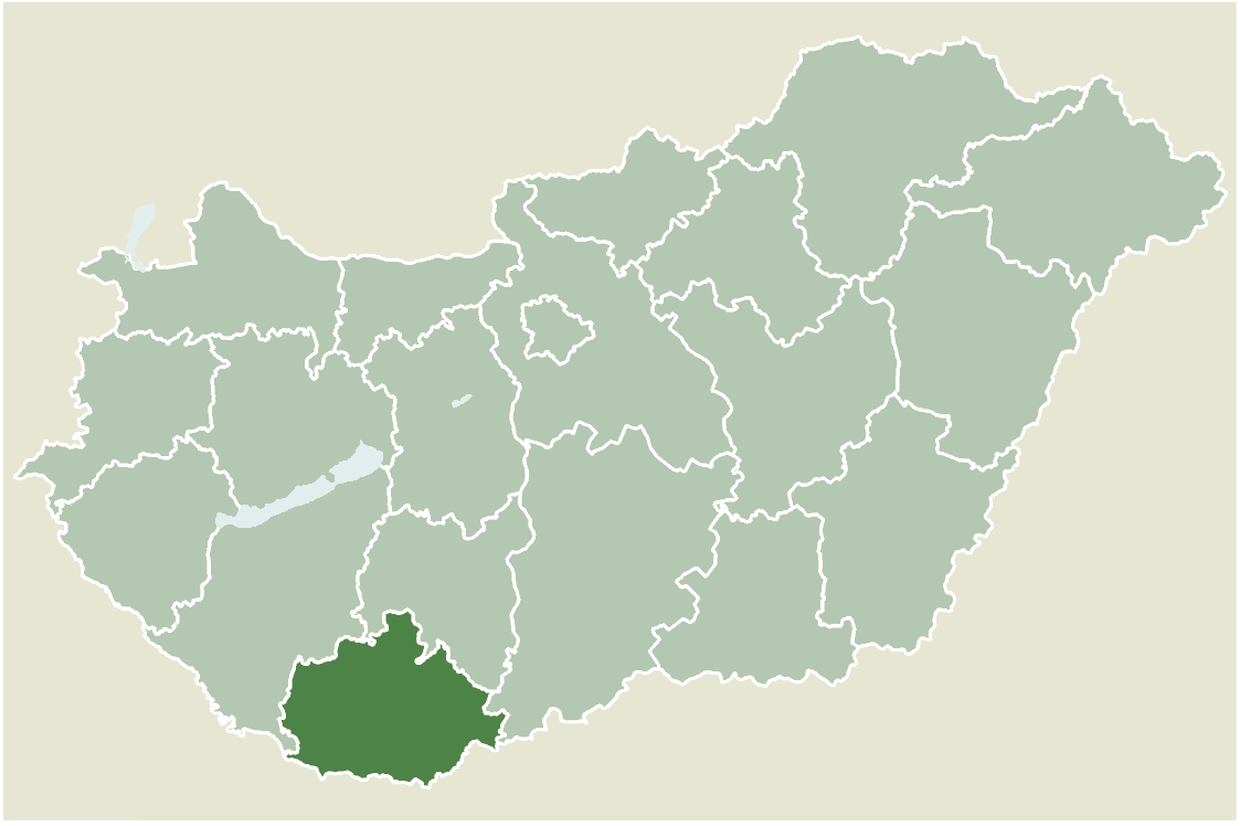
Location map for Baranya county, Hungary.
- From: http://hu.wikipedia.org
- Created by: hu:User:Juhasz peter, 2005. július 1.

|
Permission is granted to copy, distribute and/or modify this document under the terms of the GNU Free Documentation License, Version 1.2 or any later version published by the Free Software Foundation; with no Invariant Sections, no Front-Cover Texts, and no Back-Cover Texts. A copy of the license is included in the section entitled GNU Free Documentation License.http://www.gnu.org/copyleft/fdl.htmlGFDLGNU Free Documentation Licensetruetrue |
| This file is licensed under the Creative Commons Attribution-Share Alike 3.0 Unported license. | ||
| ||
| This licensing tag was added to this file as part of the GFDL licensing update.http://creativecommons.org/licenses/by-sa/3.0/CC BY-SA 3.0Creative Commons Attribution-Share Alike 3.0truetrue |
Captions
Add a one-line explanation of what this file represents
Items portrayed in this file
depicts
image/png
0e4ad8431775ec1490872dd5981e6a1ab0944b57
53,471 byte
748 pixel
1,123 pixel
File history
Click on a date/time to view the file as it appeared at that time.
| Date/Time | Thumbnail | Dimensions | User | Comment | |
|---|---|---|---|---|---|
| current | 12:34, 12 March 2006 | | 1,123 × 748 (52 KB) | Maksim | La bildo estas kopiita de wikipedia:hu. La originala priskribo estas: Baranya megye elhelyezkedése Magyarországon Juhász Péter, 2005. július 1. Saját készítésű térkép {{GFDL}} {| border="1" ! date/time || username || edit summary |---- |
File usage
The following pages on the English Wikipedia use this file (pages on other projects are not listed):
- Baksa, Hungary
- Basal, Hungary
- Berkesd
- Besence
- Bezedek
- Bikal
- Bisse, Hungary
- Boda, Hungary
- Bosta, Hungary
- Botykapeterd
- Bár
- Cserdi
- Csonkamindszent
- Cún
- Dinnyeberki
- Egyházaskozár
- Erzsébet
- Fazekasboda
- Feked
- Gerde, Hungary
- Geresdlak
- Gordisa
- Gyöngyösmellék
- Helesfa
- Hetvehely
- Hirics
- Hobol
- Illocska
- Ipacsfa
- Kemse
- Kisasszonyfa
- Kisdobsza
- Kisherend
- Kisjakabfalva
- Kiskassa
- Kistapolca
- Kisvaszar
- Kővágószőlős
- Liget
- Lúzsok
- Magyaregregy
- Magyarhertelend
- Magyarlukafa
- Magyarmecske
- Magyartelek
- Martonfa
- Matty, Hungary
- Merenye
- Mindszentgodisa
- Mozsgó
- Nagyharsány
- Nagypall
- Nagypeterd
- Nemeske
- Nyugotszenterzsébet
- Orfű
- Palkonya
- Palotabozsok
- Pereked
- Peterd
- Pogány
- Regenye
- Romonya
- Somogyapáti
- Somogyhatvan
- Somogyhárságy
- Sumony
- Szabadszentkirály
- Szajk
- Szalatnak
- Szaporca
- Szava
- Szemely
- Szentkatalin
- Székelyszabar
- Teklafalu
- Tengeri, Hungary
- Túrony
- Udvar
- Vejti
- Versend
- Várad
- Zádor, Hungary
- Zók
- Áta
Global file usage
The following other wikis use this file:
- Usage on bg.wikipedia.org
- Usage on fa.wikipedia.org
- آگ
- اتا (مجارستان)
- ارژبت
- ادیهازاشکوزار
- الند
- اودوار
- اورفو
- اولاس
- ایپاچفا
- ایلوچکا
- بابارتس
- باشال (مجارستان)
- باکشا (مجارستان)
- باکونیا
- بار (مجارستان)
- برکشد
- بزدک
- بشنتسه
- بدا (مجارستان)
- بوشتا (مجارستان)
- بوتیکاپترد
- بیکال
- بیشه (مجارستان)
- پالکونیا
- پالوتابوژوک
- پترد
- پرکد
- پوگانی
- تکلافالو
- تنگری (مجارستان)
- چردی
- چونکامیندسنت
- دیننیبرکی
- رگنیه
- رومونیا
- زادور (مجارستان)
- سابادسنتکیرای
- ساپورتسا
- زوک (مجارستان)
- سالاتناک
- سایک
- ساوا (مجارستان)
- سکیسابار
- سمی (مجارستان)
- سنتکاتالین
- کمشه
- کوواگوسولوش
- کیشآسونیفا
- کیشبسترتسه
View more global usage of this file.
Retrieved from "https://en.wikipedia.org/wiki/File:BaranyaMegye.png"