File:BlankMapTurkeyProvinces.png
From Wikipedia, the free encyclopedia
Size of this preview: 800 × 391 pixels. Other resolutions: 320 × 156 pixels | 640 × 313 pixels | 1,024 × 500 pixels.
Original file (1,024 × 500 pixels, file size: 35 KB, MIME type: image/png)
| This is a file from the Wikimedia Commons. Information from its description page there is shown below. Commons is a freely licensed media file repository. You can help. |
Summary
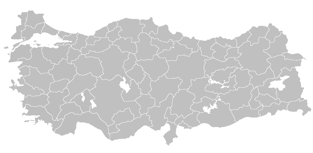
| DescriptionBlankMapTurkeyProvinces.png | Blank map of Republic of Turkey's provinces. The regions are carefully separated on per pixel basis and ready for filling in with a paint tool. |
| Date | |
| Source | Self drawn from scratch, based on data from official Turkish motorway network map |
| Author | Atilim Gunes Baydin |
| Permission (Reusing this file) |
I grant permission for anyone to use this under the terms of GFDL license, see below |
| Other versions | Derivative works of this file: Secim2009Turkey.png and File:Ali Galip landing map.png |
Licensing
I, the copyright holder of this work, hereby publish it under the following licenses:

|
Permission is granted to copy, distribute and/or modify this document under the terms of the GNU Free Documentation License, Version 1.2 or any later version published by the Free Software Foundation; with no Invariant Sections, no Front-Cover Texts, and no Back-Cover Texts. A copy of the license is included in the section entitled GNU Free Documentation License.http://www.gnu.org/copyleft/fdl.htmlGFDLGNU Free Documentation Licensetruetrue |
| This file is licensed under the Creative Commons Attribution-Share Alike 3.0 Unported license. | ||
| ||
| This licensing tag was added to this file as part of the GFDL licensing update.http://creativecommons.org/licenses/by-sa/3.0/CC BY-SA 3.0Creative Commons Attribution-Share Alike 3.0truetrue |
You may select the license of your choice.

|
File:Turkey provinces blank gray.svg is a vector version of this file. It should be used in place of this PNG file when not inferior.
File:BlankMapTurkeyProvinces.png → File:Turkey provinces blank gray.svg
For more information, see Help:SVG.
|
 |
Captions
Add a one-line explanation of what this file represents
Items portrayed in this file
depicts
21 December 2006
image/png
14cf7671a0b1a03dc2beb7fcd5a68dab5e013272
35,650 byte
500 pixel
1,024 pixel
File history
Click on a date/time to view the file as it appeared at that time.
| Date/Time | Thumbnail | Dimensions | User | Comment | |
|---|---|---|---|---|---|
| current | 20:40, 25 April 2013 | | 1,024 × 500 (35 KB) | Maurice07 | Added Bozcaada and some islands on Marmara Sea |
| 22:14, 18 February 2007 |  | 1,024 × 500 (23 KB) | AtilimGunesBaydin | Removed Samothraki, which was accidentally included. I'm sorry for the mistake. | |
| 16:46, 22 December 2006 |  | 1,024 × 500 (23 KB) | AtilimGunesBaydin | Slight resize. | |
| 21:51, 21 December 2006 |  | 1,024 × 499 (23 KB) | AtilimGunesBaydin | {{Information |Description=Blank map of Republic of Turkey's provinces |Source=Drawn from scratch on based on data from [http://www.kgm.gov.tr/images/trkh-yeni1.jpg official Turkish motorway network map] |Date=December 21, 2006 |Author=[[:e |
File usage
The following pages on the English Wikipedia use this file (pages on other projects are not listed):
- Administrative divisions of Turkey
- Government of Turkey
- List of largest cities and towns in Turkey
- Provinces of Turkey
- Turkey
- Turkish dialects
- Talk:Ethnic groups in Europe/Archive 2
- User:Underlying lk/sandbox2
- User talk:Vsmith/Archive27
- Template:Turkey Labelled Map
- Portal:Turkey
- Portal:Turkey/Provinces
Global file usage
The following other wikis use this file:
- Usage on hi.wikipedia.org
- Usage on hr.wikipedia.org
- Usage on hu.wiktionary.org
- Usage on hy.wikipedia.org
- Usage on id.wikipedia.org
- Turki
- Provinsi Adana
- Templat:Turki
- Provinsi Adıyaman
- Provinsi Afyonkarahisar
- Provinsi Ağrı
- Provinsi Aksaray
- Provinsi Amasya
- Provinsi Ankara
- Provinsi Konya
- Provinsi Antalya
- Provinsi Ardahan
- Provinsi Artvin
- Provinsi Aydın
- Provinsi Balıkesir
- Provinsi Bartın
- Provinsi Batman
- Provinsi Zonguldak
- Provinsi Yozgat
- Provinsi Yalova
- Provinsi Bayburt
- Provinsi Bilecik
- Provinsi Bingöl
- Provinsi Bitlis
- Provinsi Bolu
- Provinsi Burdur
- Provinsi Bursa
- Provinsi Çanakkale
- Provinsi Çankırı
- Provinsi Çorum
- Provinsi Denizli
- Provinsi Diyarbakır
- Provinsi Düzce
- Provinsi Edirne
View more global usage of this file.
Metadata
This file contains additional information, probably added from the digital camera or scanner used to create or digitize it.
If the file has been modified from its original state, some details may not fully reflect the modified file.
| Horizontal resolution | 37.79 dpc |
|---|---|
| Vertical resolution | 37.79 dpc |
| File change date and time | 22:12, 18 February 2007 |
Retrieved from "https://en.wikipedia.org/wiki/File:BlankMapTurkeyProvinces.png"