File:Boats_moored_in_the_creek_near_Barling_Hall_(geograph_3301999).jpg
From Wikipedia, the free encyclopedia
Size of this preview: 800 × 532 pixels. Other resolutions: 320 × 213 pixels | 640 × 426 pixels | 1,024 × 681 pixels | 1,280 × 851 pixels | 1,600 × 1,064 pixels.
Original file (1,600 × 1,064 pixels, file size: 264 KB, MIME type: image/jpeg)
| This is a file from the Wikimedia Commons. Information from its description page there is shown below. Commons is a freely licensed media file repository. You can help. |
Summary
| DescriptionBoats moored in the creek near Barling Hall (geograph 3301999).jpg |
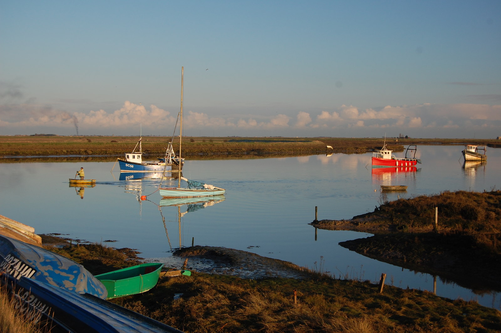
English: Boats moored in the Barlinghall Creek, in Essex, norhteast of Southend-on-Sea |
| Date | |
| Source | From geograph.org.uk |
| Author | Trevor Harris |
| Permission (Reusing this file) |
Creative Commons Attribution Share-alike license 2.0 |
| Attribution (required by the license) InfoField | Trevor Harris / Boats moored in the creek near Barling Hall / |
InfoField | Trevor Harris / Boats moored in the creek near Barling Hall |
| Camera location | 51° 34′ 22″ N, 0° 47′ 41″ E | View this and other nearby images on: OpenStreetMap |
|---|
| Object location | 51° 34′ 19.8″ N, 0° 47′ 48″ E | View this and other nearby images on: OpenStreetMap |
|---|
Licensing

|
This image was taken from the Geograph project collection. See this photograph's page on the Geograph website for the photographer's contact details. The copyright on this image is owned by Trevor Harris and is licensed for reuse under the Creative Commons Attribution-ShareAlike 2.0 license.
|
This file is licensed under the Creative Commons Attribution-Share Alike 2.0 Generic license.
Attribution: Trevor Harris
- You are free:
- to share – to copy, distribute and transmit the work
- to remix – to adapt the work
- Under the following conditions:
- attribution – You must give appropriate credit, provide a link to the license, and indicate if changes were made. You may do so in any reasonable manner, but not in any way that suggests the licensor endorses you or your use.
- share alike – If you remix, transform, or build upon the material, you must distribute your contributions under the same or compatible license as the original.
Captions
Add a one-line explanation of what this file represents
Items portrayed in this file
depicts
some value
17 January 2013
51°34'21.972"N, 0°47'41.251"E
51°34'19.85"N, 0°47'48.41"E
image/jpeg
1a9bb0b0ab11ff64917d28a151077a804ddda5d9
269,944 byte
1,064 pixel
1,600 pixel
File history
Click on a date/time to view the file as it appeared at that time.
| Date/Time | Thumbnail | Dimensions | User | Comment | |
|---|---|---|---|---|---|
| current | 18:52, 15 May 2019 | | 1,600 × 1,064 (264 KB) | Belbury | Transferred from geograph.co.uk using [https://tools.wmflabs.org/geograph2commons/ geograph2commons] |
File usage
The following pages on the English Wikipedia use this file (pages on other projects are not listed):
.jpg)