File:Dublin_map.png
From Wikipedia, the free encyclopedia
Size of this preview: 746 × 600 pixels. Other resolutions: 299 × 240 pixels | 597 × 480 pixels | 914 × 735 pixels.
Original file (914 × 735 pixels, file size: 692 KB, MIME type: image/png)
| This is a file from the Wikimedia Commons. Information from its description page there is shown below. Commons is a freely licensed media file repository. You can help. |
Summary
| DescriptionDublin map.png |
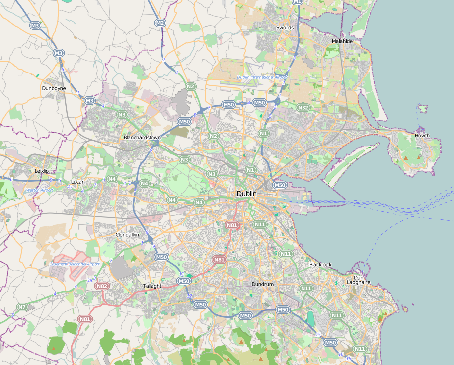
English: Dublin city location map. |
| Date | |
| Source | http://www.openstreetmap.org |
| Author | http://www.openstreetmap.org |
| Permission (Reusing this file) |
OpenStreetMap is a free editable map of the whole world. It is made by people like you. |
Licensing
This file is licensed under the Creative Commons Attribution-Share Alike 3.0 Unported license.
- You are free:
- to share – to copy, distribute and transmit the work
- to remix – to adapt the work
- Under the following conditions:
- attribution – You must give appropriate credit, provide a link to the license, and indicate if changes were made. You may do so in any reasonable manner, but not in any way that suggests the licensor endorses you or your use.
- share alike – If you remix, transform, or build upon the material, you must distribute your contributions under the same or compatible license as the original.
Captions
Add a one-line explanation of what this file represents
Items portrayed in this file
depicts
30 June 2011
File history
Click on a date/time to view the file as it appeared at that time.
| Date/Time | Thumbnail | Dimensions | User | Comment | |
|---|---|---|---|---|---|
| current | 17:05, 30 June 2011 | | 914 × 735 (692 KB) | Euskaldunaa | {{Information |Description ={{en|1=Dublin city location map.}} |Source =http://www.openstreetmap.org |Author =http://www.openstreetmap.org |Date =2011-6-30 |Permission =OpenStreetMap is a free editable map of the whole wor |
File usage
More than 100 pages use this file. The following list shows the first 100 pages that use this file only. A full list is available.
- Ailesbury Road
- Baldoyle
- Ballsbridge
- Ballyfermot
- Ballymun
- Battle of Clontarf
- Battle of Rathmines
- Blackrock, Dublin
- Blanchardstown
- Cabra, Dublin
- Carrickbrack Road
- Casement Aerodrome
- Casino at Marino
- Churchtown, Dublin
- Coolmine
- Coolock
- Dalkey
- Dalkey Island
- Dalymount Park
- Deerfield Residence
- Dublin Airport
- Dublin Bay
- Dublin street corners
- Dunboyne
- Dundrum, Dublin
- East Wall
- Farmleigh
- Finglas
- Firhouse
- Forty Foot
- Foxrock
- Glasthule
- Glenageary
- Goatstown
- Heuston railway station
- Howth Head
- Inchicore
- Ireland's Eye
- Jobstown
- Kilmainham
- Kilmainham Gaol
- Kilmashogue
- Knocklyon
- Lansdowne Road
- Leopardstown
- List of association football clubs in the Republic of Ireland
- List of top-division football clubs in UEFA countries
- Lucan, Dublin
- Malahide
- Marlay Park
- Merrion Square
- Monkstown, County Dublin
- Morton Stadium
- Mount Merrion
- Mulhuddart
- National Aquatic Centre
- National Botanic Gardens (Ireland)
- National Print Museum
- National Transport Museum of Ireland
- Park Avenue, Dublin
- Parnell Park
- Pearse Museum
- Phibsborough
- Phoenix Park
- Portobello, Dublin
- RDS Arena
- Ranelagh
- Rathfarnham
- Rathfarnham Castle
- Rathgar
- Rathmines
- Ratra House
- Richmond Park (football ground)
- Sandycove
- Sandyford
- Sandymount
- Santry
- Shelbourne Road
- Smithfield, Dublin
- St. Vincent's University Hospital
- St Stephen's Green
- Stepaside, Dublin
- Steward's Lodge
- Stillorgan
- Sutton, Dublin
- Sutton Creek (Ireland)
- Swords, Dublin
- Swords Castle
- Sydney Parade Avenue
- Tallaght
- Tallaght Stadium
- Temple Bar, Dublin
- Templeogue
- Terenure
- The Liberties, Dublin
- The Royal Dublin Golf Club
- The Wonderful Barn
- Three Rock Mountain
- Tolka Park
- Trinity College Dublin
View more links to this file.
Global file usage
The following other wikis use this file:
- Usage on azb.wikipedia.org
- Usage on bn.wikipedia.org
- Usage on es.wikipedia.org
- Usage on eu.wikipedia.org
- Usage on fa.wikipedia.org
- Usage on id.wikipedia.org
- Usage on ja.wikipedia.org
- Usage on pl.wikipedia.org
- Abbey Theatre
- Garda Síochána
- Dublin Institute of Technology
- Biblioteka Narodowa Irlandii
- Lucan
- Blackrock (Dublin)
- Dublin Connolly
- Pearse Street Station
- Spire of Dublin
- Lansdowne Road
- Kilmainham Gaol
- Prokatedra Najświętszej Marii Panny w Dublinie
- Kolegium Trójcy Świętej w Dublinie
- Zamek Dubliński
- O’Connell Street
- RDS Arena
View more global usage of this file.
Retrieved from "https://en.wikipedia.org/wiki/File:Dublin_map.png"