File:European_Russia_laea_location_map_(Crimea_disputed).jpg
From Wikipedia, the free encyclopedia
Size of this preview: 454 × 599 pixels. Other resolutions: 182 × 240 pixels | 364 × 480 pixels | 582 × 768 pixels | 1,181 × 1,558 pixels.
Original file (1,181 × 1,558 pixels, file size: 1.64 MB, MIME type: image/jpeg)
| This is a file from the Wikimedia Commons. Information from its description page there is shown below. Commons is a freely licensed media file repository. You can help. |
Summary
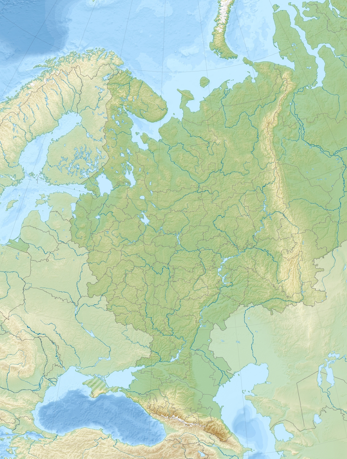
| DescriptionEuropean Russia laea location map (Crimea disputed).jpg |
English: Relief location map of European Russia (with Crimea).
|
| Date | |
| Source | Own work |
| Author | Janitoalevic |
Licensing
I, the copyright holder of this work, hereby publish it under the following license:
This file is licensed under the Creative Commons Attribution-Share Alike 4.0 International license.
- You are free:
- to share – to copy, distribute and transmit the work
- to remix – to adapt the work
- Under the following conditions:
- attribution – You must give appropriate credit, provide a link to the license, and indicate if changes were made. You may do so in any reasonable manner, but not in any way that suggests the licensor endorses you or your use.
- share alike – If you remix, transform, or build upon the material, you must distribute your contributions under the same or compatible license as the original.
Captions
Add a one-line explanation of what this file represents
Carte de la Russie Européenne
Valeur sans élément de Wikidata
15 May 2018
File history
Click on a date/time to view the file as it appeared at that time.
| Date/Time | Thumbnail | Dimensions | User | Comment | |
|---|---|---|---|---|---|
| current | 21:49, 15 May 2018 | | 1,181 × 1,558 (1.64 MB) | Janitoalevic | User created page with UploadWizard |
File usage
More than 100 pages use this file. The following list shows the first 100 pages that use this file only. A full list is available.
.jpg)
- 4th Panzer Army
- Adzhigardak
- Arkaim
- Battle of Kauhajoki
- Battle of Klushino
- Battle of Konotop (1659)
- Battle of Lesnaya
- Battle of Poltava
- Battle of Prokhorovka
- Battle of Pälkäne
- Battle of Ratan
- Battle of Shipka Pass
- Battle of Ula
- Battle of the Alta River
- Belaya (Kama)
- Belaya (Kuban)
- Belaya (Lake Imandra)
- Belgorod International Airport
- Beysug
- Bolshaya Laba
- Cathedral of the Nativity of the Theotokos, Suzdal
- Chogray Reservoir
- Chokhrak
- Dagomys (river)
- Dakh
- East Manych
- Etoka (river)
- Fars (river)
- Federation Island
- Ferapontov Monastery
- Fiagdon
- Fire of Moscow (1571)
- Gizeldon
- Historic Centre of Saint Petersburg and Related Groups of Monuments
- Historic Monuments of Novgorod and Surroundings
- Iremel
- Ivankovo Reservoir
- Izhora Plateau
- Kambileyevka
- Kanin Peninsula
- Kerch Strait
- Khodz (river)
- Khokh Range
- Kholat Syakhl
- Kideksha Church
- Kisha (river)
- Kolka Glacier
- Kolomenskoye
- Kuban (river)
- Kuma–Manych Depression
- Kura (Russia)
- Laba (river)
- Lake Brosno
- Lake Krasnoye (Leningrad Oblast)
- Lake Ladoga
- Lake Manych-Gudilo
- Lake Peipus
- Lake Seliger
- Lake Sterzh
- Lake Valdayskoye
- Manaraga
- Manych
- Matsesta (river)
- Monastery of Saint Euthymius
- Mount Karpinsky (Urals)
- Mount Narodnaya
- Mount Yamantau
- Mugalzhar
- Mzymta
- Pechora Sea
- Perekop
- Podkumok
- Psefir
- Psekups (river)
- Pshish
- Research Range
- Rosa Khutor Alpine Resort
- Rybinsk Reservoir
- Sakhray
- Sochi (river)
- Southern Federal District
- Sunzha (river)
- Suzdal Kremlin
- Sviyazhsk
- Taman Peninsula
- Terek–Kuma Lowland
- Totskoye nuclear exercise
- Totsky range
- Trinity Lavra of St. Sergius
- Tsimlyansk Reservoir
- Uglich Reservoir
- Vagankovo Cemetery
- Virgin Komi Forests
- Volga Upland
- Volgograd Reservoir
- Vorkuta uprising
- Western Caucasus
- White Monuments of Vladimir and Suzdal
- Yeya
- Yugorsky Peninsula
View more links to this file.
Global file usage
The following other wikis use this file:
- Usage on av.wikipedia.org
- Usage on ca.wikipedia.org
- Usage on de.wikipedia.org
- Usage on el.wikipedia.org
- Usage on es.wikipedia.org
- Lago Onega
- Carelia
- Lago Ilmen
- Istmo de Carelia
- Lago Seliguer
- Fanagoria
- Río Vim
- Río Yug
- Lago Lovozero
- Río Ruza
- Embalse de Ríbinsk
- Embalse de Volgogrado
- Embalse de Kúibyshev
- Montes Zhigulí
- Lago Baskunchak
- Lago Eltón
- Río Ajtuba
- Plantilla:Mapa de localización de Rusia europea
- Río Kerest
- Río Psékups
- Embalse de Tsimliansk
- Lago Abráu
- Embalse de Cheboksary
- Lago Jánskoye
- Puerto Kavkaz
- Parque nacional de Sochi
- Punta Tuzla
- Puerto de Tamán
- Cueva Bolshaya Fanagoriskaya
- Cordillera de Markotj
- Bahía de Tsemés
- Lago Chebarkul
- Puente de Crimea
- Cascada Ivánovski
- Río Malka
- Península de Ribachi
- Jólat Siajl
- Sungir
- Río Karasún
- Puente Presidente
- Mashuk
- Beshtau
- Gorodomlya
View more global usage of this file.
.jpg)
Metadata
This file contains additional information, probably added from the digital camera or scanner used to create or digitize it.
If the file has been modified from its original state, some details may not fully reflect the modified file.
| Horizontal resolution | 96 dpi |
|---|---|
| Vertical resolution | 96 dpi |
| Software used | paint.net 4.0.21 |
.jpg)