File:Grenada_relief_location_map.jpg
From Wikipedia, the free encyclopedia
Size of this preview: 634 × 599 pixels. Other resolutions: 254 × 240 pixels | 508 × 480 pixels | 813 × 768 pixels | 1,084 × 1,024 pixels | 1,435 × 1,356 pixels.
Original file (1,435 × 1,356 pixels, file size: 424 KB, MIME type: image/jpeg)
| This is a file from the Wikimedia Commons. Information from its description page there is shown below. Commons is a freely licensed media file repository. You can help. |
Summary
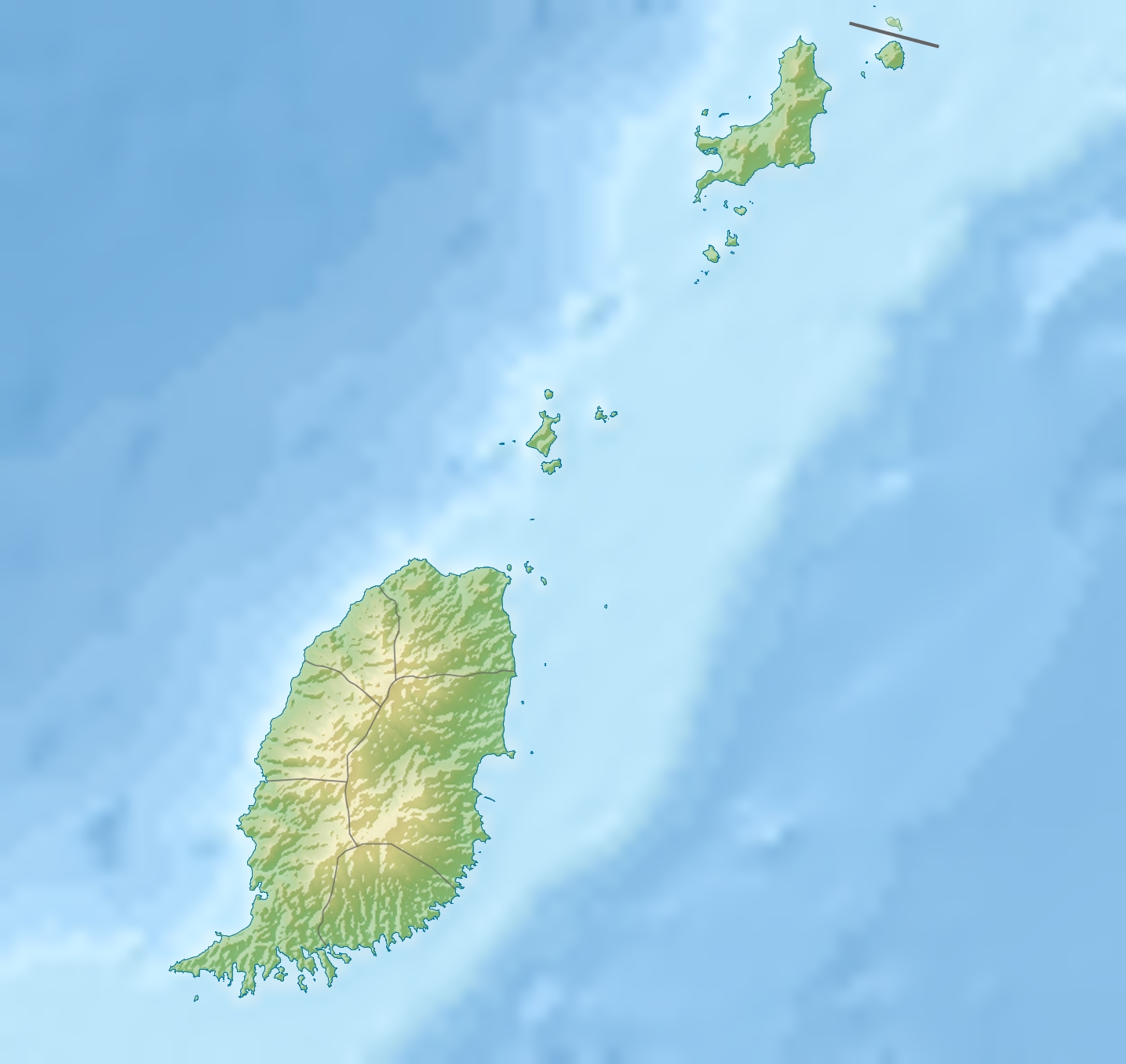
| DescriptionGrenada relief location map.jpg |
English: Relief location map of Grenada.
|
||
| Date | |||
| Source | Own work | ||
| Author | Uwe Dedering | ||
| Permission (Reusing this file) |
I, the copyright holder of this work, hereby publish it under the following licenses: This file is licensed under the Creative Commons Attribution-Share Alike 3.0 Unported license.
You may select the license of your choice. |
||
| Other versions |
|


Captions
Add a one-line explanation of what this file represents
Items portrayed in this file
depicts
some value
24 December 2010
File history
Click on a date/time to view the file as it appeared at that time.
| Date/Time | Thumbnail | Dimensions | User | Comment | |
|---|---|---|---|---|---|
| current | 11:14, 24 December 2010 | | 1,435 × 1,356 (424 KB) | Uwe Dedering | initial upload |
File usage
The following pages on the English Wikipedia use this file (pages on other projects are not listed):
- Antoine River (Grenada)
- Balthazar River (Grenada)
- Beauséjour River
- Belmont Formation, Grenada
- Black Bay River (Grenada)
- Bon Accord River
- Calabasse River
- Carriacou
- Carriacou Formation
- Charlotte River (Grenada)
- Chemin River
- Crochu River
- Diamond Island (Grenadines)
- Douce River (Grenada)
- Duquesne River
- Geography of Grenada
- Grand Bay Formation
- Grand Etang Lake
- Great Arm River
- Great River of Grand Bacolet
- List of fossiliferous stratigraphic units in the Caribbean
- Mount Saint Catherine (Grenada)
- Petite Martinique
- River Claire (Grenada)
- River Simon
- Saint Johns River (Grenada)
- Saline Island
- Sauteurs
- Sugar Loaf Island (Grenada)
- Tempé River
- Module:Location map/data/Grenada
- Module:Location map/data/Grenada/doc
Global file usage
The following other wikis use this file:
- Usage on ar.wikipedia.org
- Usage on ast.wikipedia.org
- Usage on bar.wikipedia.org
- Usage on ba.wikipedia.org
- Usage on bg.wikipedia.org
- Usage on bn.wikipedia.org
- Usage on bs.wikipedia.org
- Usage on ceb.wikipedia.org
- Usage on ce.wikipedia.org
- Usage on ckb.wikipedia.org
- Usage on cs.wikipedia.org
- Usage on da.wikipedia.org
- Usage on de.wikipedia.org
- Grenada
- Carriacou
- Mount Saint Catherine
- Petite Martinique
- Vorlage:Positionskarte Grenada
- Wikipedia:Kartenwerkstatt/Positionskarten/Nordamerika
- Benutzer:Uwe Dedering
- Ronde Island
- Lake Antoine
- Grand Etang Lake
- Caille Island
- Diamond Island (Grenada)
- Large Island (Grenada)
- Frigate Island (Carriacou)
- White Island (Grenada)
- Saline Island
- Cassada Rocks
- Mushroom Island (Grenada)
- Sandy Island (Carriacou)
- Mabouya Island
- Sister Rocks (Grenada)
- Bird Island (Grenada)
- Sugarloaf (Grenada)
- Green Island (Grenada)
- Sandy Island (Grenada)
- London Bridge (Grenadinen)
- Bonaparte Rocks
- Rose Rock (Grenada)
- Les Tantes
- Palmiste Lake
- Concord Falls
- Annendale Falls
- Seven Sisters Waterfalls
View more global usage of this file.
Metadata
This file contains additional information, probably added from the digital camera or scanner used to create or digitize it.
If the file has been modified from its original state, some details may not fully reflect the modified file.
| _error | 0 |
|---|
Retrieved from "https://en.wikipedia.org/wiki/File:Grenada_relief_location_map.jpg"