File:Hood_River_OR_-_aerial.jpg
From Wikipedia, the free encyclopedia
Size of this preview: 800 × 531 pixels. Other resolutions: 320 × 213 pixels | 640 × 425 pixels | 1,024 × 680 pixels | 1,280 × 850 pixels | 2,560 × 1,700 pixels | 4,288 × 2,848 pixels.
Original file (4,288 × 2,848 pixels, file size: 4.23 MB, MIME type: image/jpeg)
| This is a file from the Wikimedia Commons. Information from its description page there is shown below. Commons is a freely licensed media file repository. You can help. |
Summary
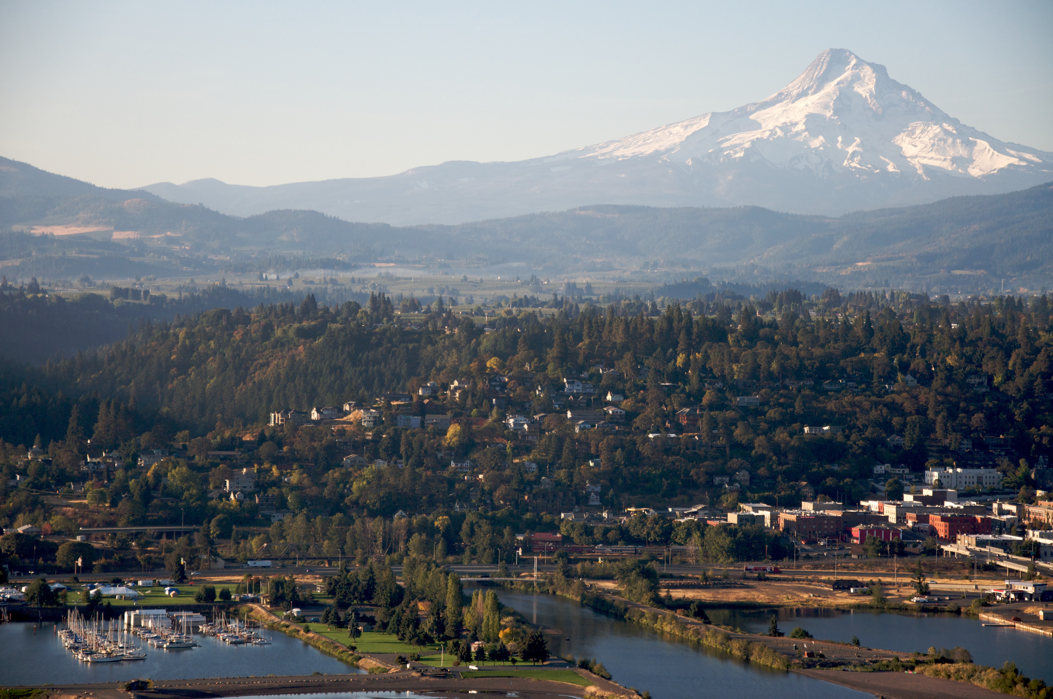
| DescriptionHood River OR - aerial.jpg |
English: Aerial view of Hood River, Oregon, USA |
| Date | |
| Source | Hood River, Oregon |
| Author | Sam Beebe |
| Camera location | 45° 43′ 38.44″ N, 121° 30′ 05.49″ W | View this and other nearby images on: OpenStreetMap |
|---|
Licensing
This file is licensed under the Creative Commons Attribution 2.0 Generic license.
- You are free:
- to share – to copy, distribute and transmit the work
- to remix – to adapt the work
- Under the following conditions:
- attribution – You must give appropriate credit, provide a link to the license, and indicate if changes were made. You may do so in any reasonable manner, but not in any way that suggests the licensor endorses you or your use.
| This image was originally posted to Flickr by Sam Beebe / Ecotrust at https://www.flickr.com/photos/28585409@N04/4051276892. It was reviewed on 9 February 2010 by FlickreviewR and was confirmed to be licensed under the terms of the cc-by-2.0. |
9 February 2010
Captions
Add a one-line explanation of what this file represents
Items portrayed in this file
depicts
some value
7 October 2009
45°43'38.438"N, 121°30'5.490"W
File history
Click on a date/time to view the file as it appeared at that time.
| Date/Time | Thumbnail | Dimensions | User | Comment | |
|---|---|---|---|---|---|
| current | 15:24, 9 February 2010 | | 4,288 × 2,848 (4.23 MB) | Jonesey | {{Information |Description={{en|Aerial view of {{w|Hood River, Oregon}}, USA}} |Source=[http://www.flickr.com/photos/28585409@N04/4051276892/ Hood River, Oregon] |Date=2009-10-07 05:22 |Author=[http://www.flickr.com/people/28585409@N04 Sam Beebe] |Permis |
File usage
The following pages on the English Wikipedia use this file (pages on other projects are not listed):
Global file usage
The following other wikis use this file:
- Usage on ar.wikipedia.org
- Usage on azb.wikipedia.org
- Usage on ca.wikipedia.org
- Usage on ceb.wikipedia.org
- Usage on ce.wikipedia.org
- Usage on cs.wikipedia.org
- Usage on cy.wikipedia.org
- Usage on dag.wikipedia.org
- Usage on en.wikivoyage.org
- Usage on eu.wikipedia.org
- Usage on fa.wikipedia.org
- Usage on fi.wikipedia.org
- Usage on fr.wikipedia.org
- Usage on fy.wikipedia.org
- Usage on he.wikivoyage.org
- Usage on ht.wikipedia.org
- Usage on hu.wikipedia.org
- Usage on ja.wikipedia.org
- Usage on ko.wikipedia.org
- Usage on ky.wikipedia.org
- Usage on lld.wikipedia.org
- Usage on nl.wikipedia.org
- Usage on pl.wikipedia.org
- Usage on pt.wikipedia.org
- Usage on sh.wikipedia.org
- Usage on sr.wikipedia.org
- Usage on tr.wikipedia.org
- Usage on tt.wikipedia.org
- Usage on uk.wikipedia.org
- Usage on uk.wikivoyage.org
- Usage on ur.wikipedia.org
- Usage on uz.wikipedia.org
- Usage on vi.wikipedia.org
- Usage on www.wikidata.org
- Usage on zh-min-nan.wikipedia.org
Metadata
This file contains additional information, probably added from the digital camera or scanner used to create or digitize it.
If the file has been modified from its original state, some details may not fully reflect the modified file.
| Camera manufacturer | NIKON CORPORATION |
|---|---|
| Camera model | NIKON D90 |
| Exposure time | 1/1,000 sec (0.001) |
| F-number | f/5.3 |
| ISO speed rating | 560 |
| Date and time of data generation | 05:22, 7 October 2009 |
| Lens focal length | 75 mm |
| Altitude | 200 meters above sea level |
| Pixel composition | RGB |
| Orientation | Normal |
| Horizontal resolution | 72 dpi |
| Vertical resolution | 72 dpi |
| Software used | Ver.1.00 |
| File change date and time | 05:22, 7 October 2009 |
| Exposure Program | Not defined |
| Date and time of digitizing | 05:22, 7 October 2009 |
| Exposure bias | 0 |
| Maximum land aperture | 4.9 APEX (f/5.46) |
| Metering mode | Pattern |
| Light source | Unknown |
| Flash | Flash did not fire, auto mode |
| DateTime subseconds | 00 |
| DateTimeOriginal subseconds | 00 |
| DateTimeDigitized subseconds | 00 |
| Color space | sRGB |
| Sensing method | One-chip color area sensor |
| Custom image processing | Normal process |
| Exposure mode | Auto exposure |
| White balance | Auto white balance |
| Digital zoom ratio | 1 |
| Focal length in 35 mm film | 112 mm |
| Scene capture type | Standard |
| Contrast | Normal |
| Saturation | Normal |
| Sharpness | Normal |
| Subject distance range | Unknown |
| North or south latitude | North latitude |
| East or west longitude | West longitude |
| Satellites used for measurement | 07 |
| Reference for direction of image | Magnetic direction |
| Direction of image | 59.8 |
Retrieved from "https://en.wikipedia.org/wiki/File:Hood_River_OR_-_aerial.jpg"