File:Ireland_relief_location_map.png
From Wikipedia, the free encyclopedia
Original file (1,450 × 1,807 pixels, file size: 1.55 MB, MIME type: image/png)
| This is a file from the Wikimedia Commons. Information from its description page there is shown below. Commons is a freely licensed media file repository. You can help. |
| DescriptionIreland relief location map.png |
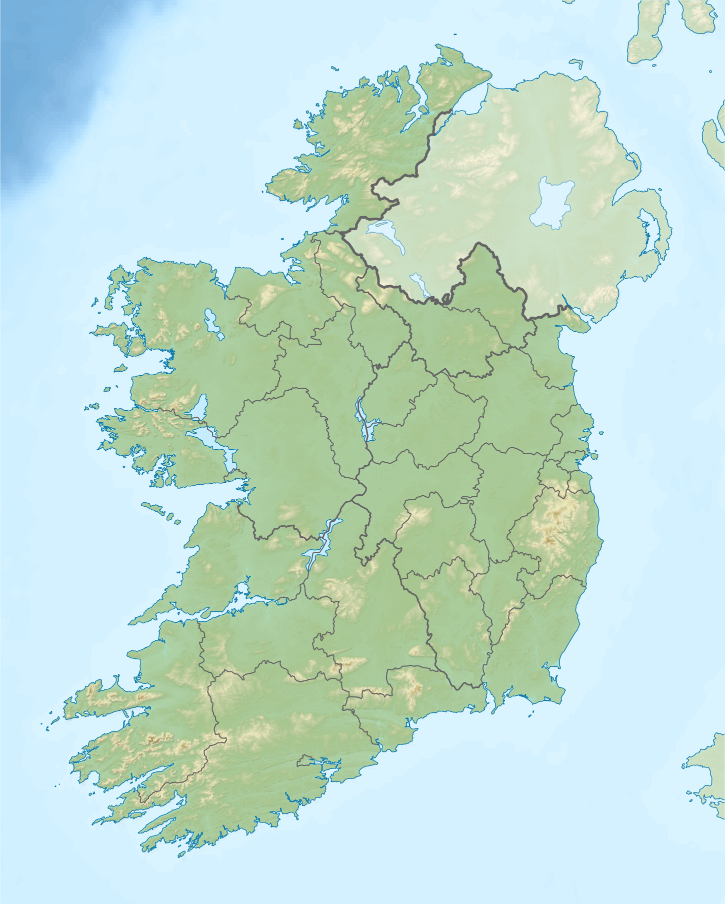
Relief location map of Ireland Equirectangular map projection on WGS 84 datum, with N/S stretched 170% Geographic limits:
|
||
| Date | |||
| Source |
Shuttle Radar Topography Mission
National Geospatial-Intelligence Agency
File:Ireland location map.svg: NordNordWest
|
||
| Author | Nilfanion | ||
| Permission (Reusing this file) |
This file is licensed under the Creative Commons Attribution-Share Alike 3.0 Unported license.
|
||
| Other versions |
|
.png)

Captions
Items portrayed in this file
depicts
15 April 2012
image/png
File history
Click on a date/time to view the file as it appeared at that time.
| Date/Time | Thumbnail | Dimensions | User | Comment | |
|---|---|---|---|---|---|
| current | 08:32, 24 August 2020 | | 1,450 × 1,807 (1.55 MB) | Jacobfrid | Reverted to version as of 12:29, 12 September 2014 (UTC) |
| 12:17, 23 August 2020 |  | 324 × 280 (90 KB) | Jacobfrid | Cropped 78 % horizontally, 85 % vertically using CropTool with precise mode. | |
| 12:29, 12 September 2014 |  | 1,450 × 1,807 (1.55 MB) | NordNordWest | Local Government Reform Act 2014 | |
| 00:02, 23 October 2012 |  | 1,450 × 1,807 (1.56 MB) | Nilfanion | Fix UK shading nr Londonderry | |
| 22:43, 15 April 2012 |  | 1,450 × 1,807 (1.56 MB) | Nilfanion | {{Information |Description=Relief map of Ireland Equirectangular map projection on WGS 84 datum, with N/S stretched 170% Geographic limits: *West: 11.0° W *East: 5.0° W *North: 55.6° N *South: 51.2° N |Source= [[w:Shuttle Radar Topo... |
File usage
More than 100 pages use this file. The following list shows the first 100 pages that use this file only. A full list is available.
- 2006 Ryder Cup
- Ballyhoura Mountains
- Banagher
- Battle of Aughrim
- Battle of Curlew Pass
- Battle of Glenmama
- Battle of Julianstown
- Battle of Kilrush
- Battle of Knocknaclashy
- Battle of Liscarroll
- Battle of Macroom
- Battle of Prosperous
- Battle of Rathmines
- Battle of Áth an Chip
- Birr Castle
- Blue Stack Mountains
- Bray, County Wicklow
- Bray Head
- Brú na Bóinne
- Caha Mountains
- Carrowmore
- Carton House
- Cavan
- Cliffs of Moher
- Clostoken
- Cork Harbour
- Croagh Patrick
- Devilsmother
- Dowth
- Drogheda
- Dublin
- Dundalk
- Ennis
- Errigal
- First Battle of Athenry
- Forty Foot
- Galway
- Galway Bay
- Gap of Dunloe
- Geography of Ireland
- Gibbet Rath executions
- Glencree
- Glenmalure
- Glenveagh
- Gyles' Quay
- Hook Head
- Hungry Hill
- Irish Rebellion of 1641
- Irish Senior Open
- Kilkenny
- Killarney
- Killarney National Park
- Kilmichael ambush
- Knockmealdown
- Knowth
- Lady's Island Lake
- Lakes of Killarney
- Lia Fáil
- Limerick
- Liscannor Bay
- List of national parks of the Republic of Ireland
- List of stadiums in Ireland by capacity
- Lough Conn
- Lough Corrib
- Lough Dan
- Lough Derravaragh
- Lough Gowna
- Lough Leane
- Lough Mahon
- Lough Mask
- Lough Ree
- Macroom
- Michael Jones (soldier)
- Muckish
- Mullaghareirk Mountains
- Navan
- Newbridge, County Kildare
- Sack of Wexford
- Sean Kelly (cyclist)
- Shannon Pot
- Shannon hydroelectric scheme
- Siege of Clonmel
- Siege of Drogheda
- Siege of Galway
- Siege of Waterford
- Sieges of Galway
- Slieve League
- Sligo
- Sligo Abbey
- St Patrick's Purgatory
- St Tiernach's Park
- Swords, Dublin
- The Burren
- The Curragh
- Tralee
- Twelve Bens
- Waterford
- Westport, County Mayo
- Wexford
- Wild Nephin National Park
View more links to this file.
Global file usage
The following other wikis use this file:
- Usage on als.wikipedia.org
- Usage on am.wikipedia.org
- Usage on ar.wikipedia.org
- Usage on ast.wikipedia.org
- Usage on azb.wikipedia.org
- Usage on ban.wikipedia.org
- Usage on bar.wikipedia.org
- Usage on ba.wikipedia.org
- Usage on be-tarask.wikipedia.org
- Usage on bn.wikipedia.org
- Usage on br.wikipedia.org
- Usage on bs.wikipedia.org
- Usage on bxr.wikipedia.org
- Usage on ca.wikipedia.org
- Usage on ceb.wikipedia.org
- Usage on cs.wikipedia.org
- Usage on cv.wikipedia.org
View more global usage of this file.
Metadata
This file contains additional information, probably added from the digital camera or scanner used to create or digitize it.
If the file has been modified from its original state, some details may not fully reflect the modified file.
| Horizontal resolution | 129.53 dpc |
|---|---|
| Vertical resolution | 129.53 dpc |