File:Israel_Sea_Level_BW_1.JPG
From Wikipedia, the free encyclopedia
Size of this preview: 800 × 536 pixels. Other resolutions: 320 × 214 pixels | 640 × 428 pixels | 1,024 × 685 pixels | 1,280 × 857 pixels | 2,560 × 1,714 pixels | 3,872 × 2,592 pixels.
Original file (3,872 × 2,592 pixels, file size: 2.88 MB, MIME type: image/jpeg)
| This is a file from the Wikimedia Commons. Information from its description page there is shown below. Commons is a freely licensed media file repository. You can help. |
Summary
| Camera location | 31° 48′ 09.77″ N, 35° 24′ 10.32″ E | View this and other nearby images on: OpenStreetMap |
|---|
| DescriptionIsrael Sea Level BW 1.JPG |
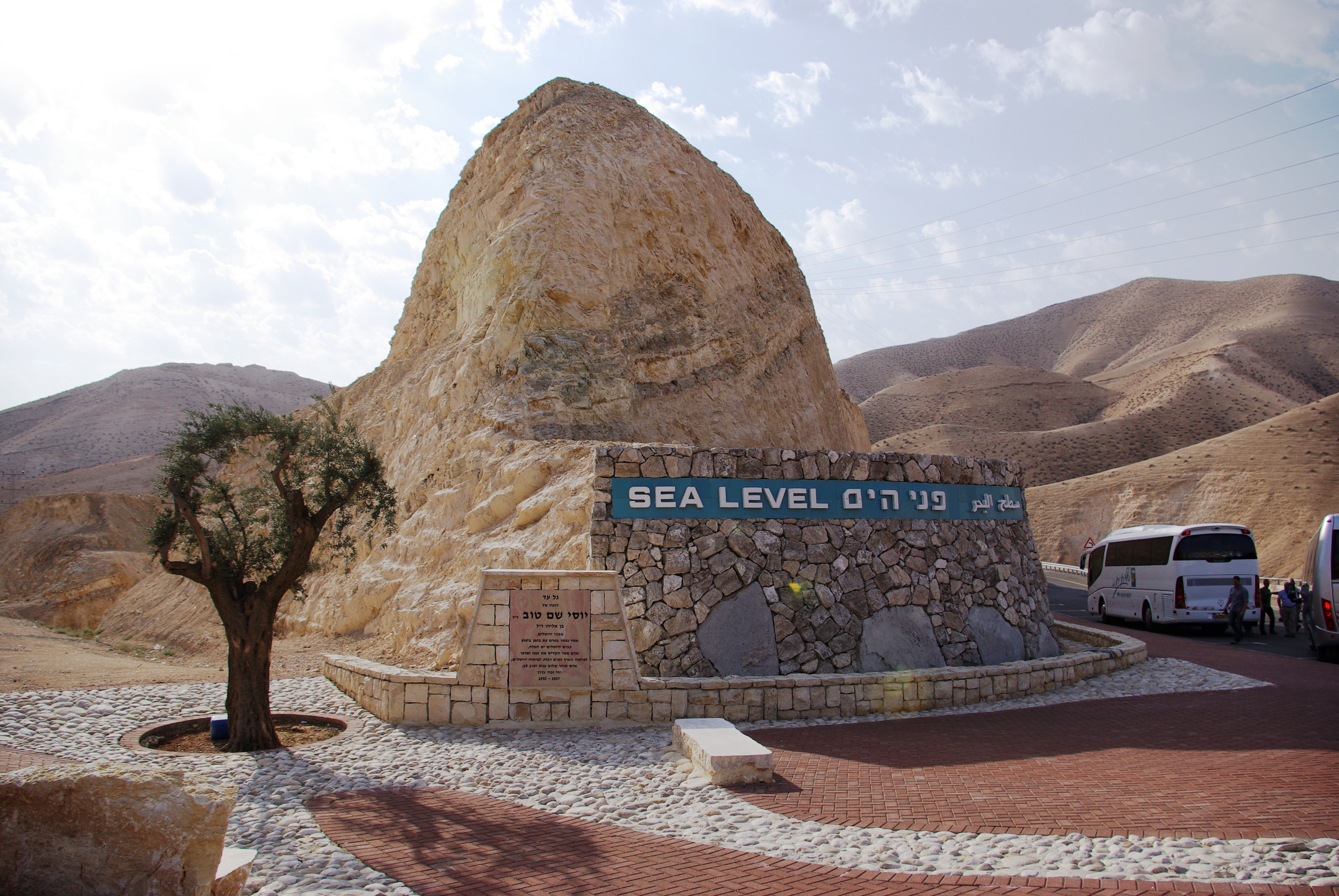
English: West Bank. Sea Level marker on the side of the road from Jerusalem to the Dead Sea
Deutsch: Westjordanland. Sea Level - Meereshöhe an der Straße von Jerusalem zum Toten Meer |
| Date | |
| Source | Own work |
| Author | Berthold Werner |
Licensing
| Public domainPublic domainfalsefalse |
| I, the copyright holder of this work, release this work into the public domain. This applies worldwide. In some countries this may not be legally possible; if so: I grant anyone the right to use this work for any purpose, without any conditions, unless such conditions are required by law. |
Captions
Add a one-line explanation of what this file represents
Sea Level marker on the side of the road from Jerusalem to the Dead Sea
some value
12 November 2008
31°48'9.770"N, 35°24'10.321"E
File history
Click on a date/time to view the file as it appeared at that time.
| Date/Time | Thumbnail | Dimensions | User | Comment | |
|---|---|---|---|---|---|
| current | 16:40, 19 February 2013 | | 3,872 × 2,592 (2.88 MB) | Soerfm | Contrast |
| 18:54, 24 January 2009 |  | 3,872 × 2,592 (2.72 MB) | Berthold Werner | {{Information |Description={{en|1=Israel. Sea Level at the street from Jerusalem to the Dead Sea}} {{de|1=Israel. Sea Level - Meereshöhe an der Straße von Jerusalem zum Toten Meer}} |Source=Eigenes Werk (own work) |Author=[[User:Berthold Werner|Berthold |
File usage
The following pages on the English Wikipedia use this file (pages on other projects are not listed):
Global file usage
The following other wikis use this file:
- Usage on af.wikipedia.org
- Usage on ar.wikipedia.org
- Usage on ast.wikipedia.org
- Usage on bn.wikipedia.org
- Usage on de.wikipedia.org
- Usage on es.wikipedia.org
- Usage on et.wikipedia.org
- Usage on fa.wikipedia.org
- Usage on fr.wikipedia.org
- Usage on gu.wikipedia.org
- Usage on ha.wikipedia.org
- Usage on he.wikipedia.org
- Usage on hi.wikipedia.org
- Usage on ia.wikipedia.org
- Usage on ilo.wikipedia.org
- Usage on incubator.wikimedia.org
- Usage on io.wikipedia.org
- Usage on is.wikipedia.org
- Usage on ku.wikipedia.org
- Usage on mg.wikipedia.org
- Usage on mk.wikipedia.org
- Usage on mr.wikipedia.org
- Usage on my.wikipedia.org
- Usage on pms.wikipedia.org
- Usage on ro.wikipedia.org
- Usage on rue.wikipedia.org
- Usage on ru.wikipedia.org
- Usage on sk.wikipedia.org
- Usage on sl.wikipedia.org
- Usage on so.wikipedia.org
- Usage on sr.wikipedia.org
- Usage on tt.wikipedia.org
- Usage on uk.wikipedia.org
- Usage on ur.wikipedia.org
- Usage on uz.wikipedia.org
- Usage on vi.wikipedia.org
- Usage on war.wikipedia.org
- Usage on www.wikidata.org
- Usage on zh-min-nan.wikipedia.org
Metadata
This file contains additional information, probably added from the digital camera or scanner used to create or digitize it.
If the file has been modified from its original state, some details may not fully reflect the modified file.
| Camera manufacturer | PENTAX Corporation |
|---|---|
| Camera model | PENTAX K10D |
| Author | Berthold Werner |
| Copyright holder |
|
| Exposure time | 1/500 sec (0.002) |
| F-number | f/8 |
| ISO speed rating | 100 |
| Date and time of data generation | 06:44, 12 November 2008 |
| Lens focal length | 18 mm |
| Latitude | 31° 48′ 9.77″ N |
| Longitude | 35° 24′ 10.32″ E |
| Altitude | 11.43 meters above sea level |
| Orientation | Normal |
| Software used | K10D Ver 1.30 |
| File change date and time | 06:44, 12 November 2008 |
| Y and C positioning | Co-sited |
| Exposure Program | Aperture priority |
| Exif version | 2.21 |
| Date and time of digitizing | 06:44, 12 November 2008 |
| Meaning of each component |
|
| Exposure bias | −1 |
| Metering mode | Pattern |
| Flash | Flash did not fire, compulsory flash suppression |
| DateTimeOriginal subseconds | 00 |
| DateTimeDigitized subseconds | 00 |
| Supported Flashpix version | 1 |
| Color space | sRGB |
| Sensing method | One-chip color area sensor |
| File source | Digital still camera |
| Scene type | A directly photographed image |
| Custom image processing | Normal process |
| Exposure mode | Auto bracket |
| White balance | Auto white balance |
| Focal length in 35 mm film | 27 mm |
| Scene capture type | Standard |
| Contrast | Normal |
| Saturation | Normal |
| Sharpness | Hard |
| Subject distance range | Close view |
Retrieved from "https://en.wikipedia.org/wiki/File:Israel_Sea_Level_BW_1.JPG"