File:Manitowoc_Harbor.jpg
From Wikipedia, the free encyclopedia
Size of this preview: 800 × 450 pixels. Other resolutions: 320 × 180 pixels | 640 × 360 pixels | 1,024 × 576 pixels | 1,280 × 719 pixels | 2,560 × 1,439 pixels | 4,384 × 2,464 pixels.
Original file (4,384 × 2,464 pixels, file size: 2.69 MB, MIME type: image/jpeg)
| This is a file from the Wikimedia Commons. Information from its description page there is shown below. Commons is a freely licensed media file repository. You can help. |
Summary
| DescriptionManitowoc Harbor.jpg |
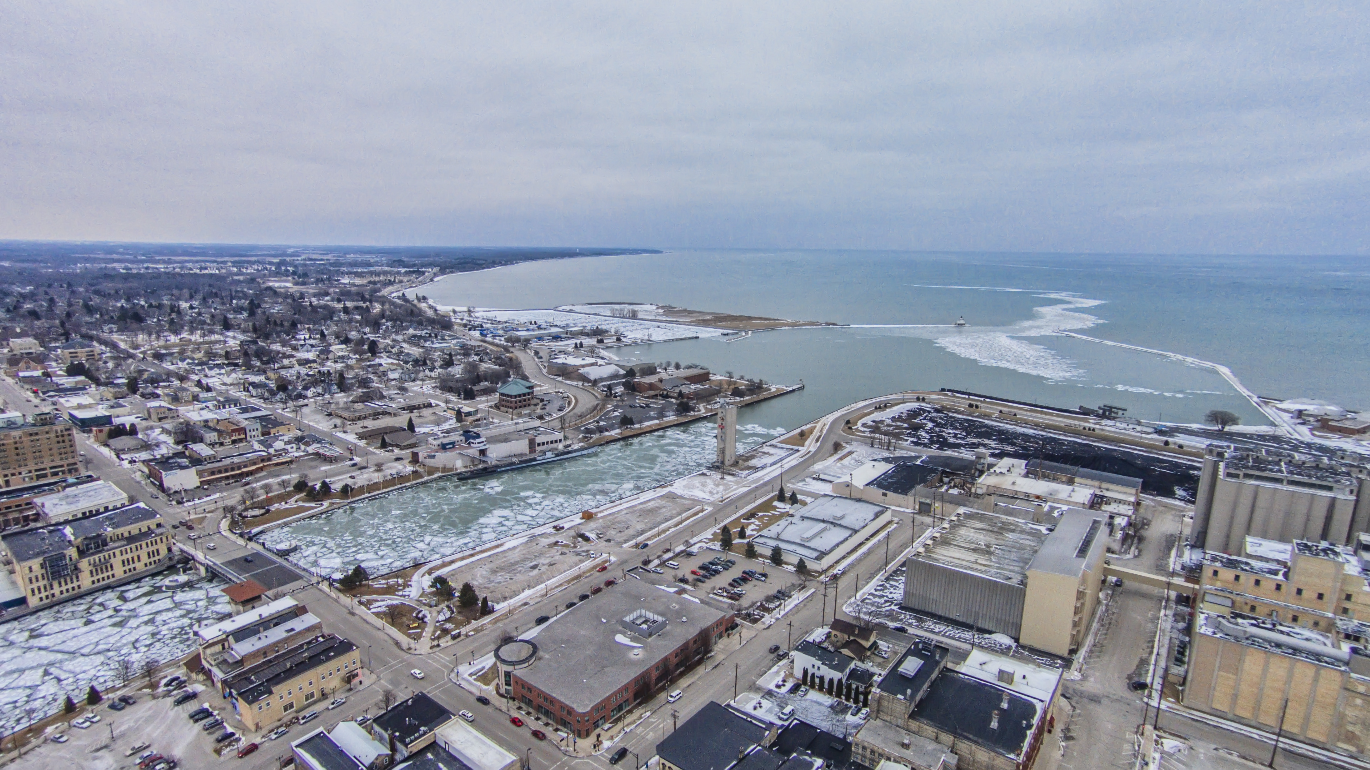
English: The Manitowoc Rivers empties into Lake Michigan. |
| Date | |
| Source | Own work |
| Author | Chris Rand |
| Camera location | 44° 05′ 22″ N, 87° 39′ 32″ W | View this and other nearby images on: OpenStreetMap |
|---|
Licensing
I, the copyright holder of this work, hereby publish it under the following license:
This file is licensed under the Creative Commons Attribution-Share Alike 4.0 International license.
- You are free:
- to share – to copy, distribute and transmit the work
- to remix – to adapt the work
- Under the following conditions:
- attribution – You must give appropriate credit, provide a link to the license, and indicate if changes were made. You may do so in any reasonable manner, but not in any way that suggests the licensor endorses you or your use.
- share alike – If you remix, transform, or build upon the material, you must distribute your contributions under the same or compatible license as the original.
Captions
Add a one-line explanation of what this file represents
Items portrayed in this file
depicts
31 January 2015
44°5'21.999999998"N, 87°39'32.000000000"W
File history
Click on a date/time to view the file as it appeared at that time.
| Date/Time | Thumbnail | Dimensions | User | Comment | |
|---|---|---|---|---|---|
| current | 19:05, 31 January 2015 | | 4,384 × 2,464 (2.69 MB) | Rauglothgor | User created page with UploadWizard |
File usage
The following pages on the English Wikipedia use this file (pages on other projects are not listed):
Global file usage
The following other wikis use this file:
- Usage on sv.wikipedia.org
- Usage on zh.wikipedia.org
Metadata
This file contains additional information, probably added from the digital camera or scanner used to create or digitize it.
If the file has been modified from its original state, some details may not fully reflect the modified file.
| Camera manufacturer | DJI |
|---|---|
| Camera model | PHANTOM VISION FC200 |
| Exposure time | 1/1,150 sec (0.0008695652173913) |
| F-number | f/2.8 |
| ISO speed rating | 100 |
| Date and time of data generation | 11:01, 31 January 2015 |
| Lens focal length | 5 mm |
| Latitude | 44° 5′ 22″ N |
| Longitude | 87° 39′ 32″ W |
| Altitude | 143.65 meters above sea level |
| Orientation | Normal |
| Horizontal resolution | 300 dpi |
| Vertical resolution | 300 dpi |
| Software used | Adobe Photoshop CC (Windows) |
| File change date and time | 13:03, 31 January 2015 |
| Exif version | 2.3 |
| Shutter speed | 10.167418 |
| APEX aperture | 2.970854 |
| Exposure bias | 0 |
| Metering mode | Center weighted average |
| Light source | Unknown |
| Flash | Flash did not fire, No flash function |
| Color space | Uncalibrated |
| Sensing method | One-chip color area sensor |
| File source | Digital still camera |
| Scene type | A directly photographed image |
| Custom image processing | Normal process |
| Exposure mode | Auto exposure |
| White balance | Auto white balance |
| Digital zoom ratio | 1 |
| Focal length in 35 mm film | 30 mm |
| Scene capture type | Standard |
| Scene control | None |
| Contrast | Normal |
| Saturation | Normal |
| Sharpness | Normal |
| GPS tag version | 2.2.0.0 |
| Date metadata was last modified | 07:03, 31 January 2015 |
| Rating (out of 5) | 0 |
| Date and time of digitizing | 11:01, 31 January 2015 |
| Unique ID of original document | 5CE2D80FC423B31E3C98777D701C2C8D |
Retrieved from "https://en.wikipedia.org/wiki/File:Manitowoc_Harbor.jpg"