File:Middle_America_relief_location_map.png
From Wikipedia, the free encyclopedia
Size of this preview: 800 × 538 pixels. Other resolutions: 320 × 215 pixels | 640 × 430 pixels | 1,024 × 688 pixels | 1,280 × 860 pixels | 2,000 × 1,344 pixels.
Original file (2,000 × 1,344 pixels, file size: 3.56 MB, MIME type: image/png)
| This is a file from the Wikimedia Commons. Information from its description page there is shown below. Commons is a freely licensed media file repository. You can help. |
Summary
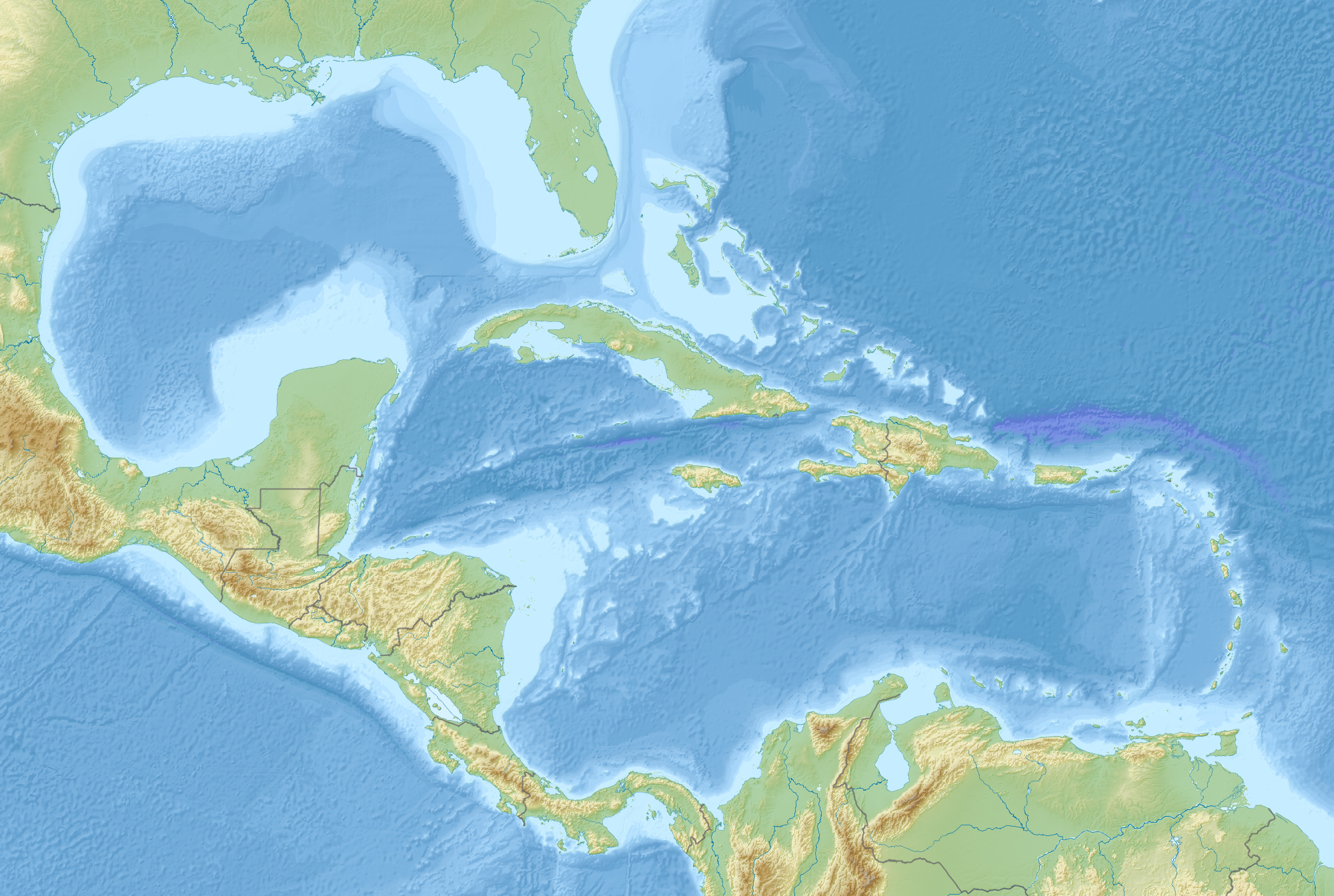
| DescriptionMiddle America relief location map.png |
English: Map of Middle America, including the Gulf of Mexico and the Caribbean Sea, with the addition of national borders.
Equirectangular projection. Strechted by 106.0%. Geographic limits of the map:
Relief: ETOPO1. Coastline, borders, rivers etc: Made with Natural Earth. Free vector and raster map data @ naturalearthdata.com. |
| Date | |
| Source | Own work |
| Author | Uwe Dedering |
Licensing
I, the copyright holder of this work, hereby publish it under the following license:
This file is licensed under the Creative Commons Attribution-Share Alike 3.0 Unported license.
- You are free:
- to share – to copy, distribute and transmit the work
- to remix – to adapt the work
- Under the following conditions:
- attribution – You must give appropriate credit, provide a link to the license, and indicate if changes were made. You may do so in any reasonable manner, but not in any way that suggests the licensor endorses you or your use.
- share alike – If you remix, transform, or build upon the material, you must distribute your contributions under the same or compatible license as the original.
Captions
Add a one-line explanation of what this file represents
Items portrayed in this file
depicts
some value
19 August 2010
image/png
File history
Click on a date/time to view the file as it appeared at that time.
| Date/Time | Thumbnail | Dimensions | User | Comment | |
|---|---|---|---|---|---|
| current | 09:14, 19 August 2010 | | 2,000 × 1,344 (3.56 MB) | Uwe Dedering | {{Information |Description={{en|1=Map of Middle America, including the Gulf of Mexico and the Carribean Sea. Equirectangular projection. Strechted by 106.0%. Geographic limits of the map: * N: 32.0° N * S: 6.0° N * W: 99.0° W * E: 58.0° W Relief: [ |
File usage
The following pages on the English Wikipedia use this file (pages on other projects are not listed):
- 1839 Martinique earthquake
- 1843 Guadeloupe earthquake
- 1867 Virgin Islands earthquake and tsunami
- 2004 Les Saintes earthquake
- 2006 Gulf of Mexico earthquake
- American Mediterranean Sea
- Maya Block
- San Esteban (1554 shipwreck)
- Yucatán Platform
- Module:Location map/data/Middle America
- Module:Location map/data/Middle America/doc
Global file usage
The following other wikis use this file:
- Usage on ar.wikipedia.org
- Usage on az.wikipedia.org
- Usage on ba.wikipedia.org
- Usage on ceb.wikipedia.org
- Usage on ce.wikipedia.org
- Usage on de.wikipedia.org
- Usage on es.wikipedia.org
- Usage on et.wikipedia.org
- Usage on fr.wikipedia.org
- Mer des Caraïbes
- Golfe du Mexique
- Hispaniola
- Îles Vierges
- Grand Bahama
- Fosse de Milwaukee
- Canal du Yucatán
- Grand Cayman
- Little Cayman
- Cayman Brac
- Andros (île des Bahamas)
- Golfe du Honduras
- Cuba (île)
- Les Cayemites
- Péninsule de Guajira
- Péninsule de Paraguaná
- Golfe du Venezuela
- Canal de Sainte-Lucie
- Modèle:Géolocalisation/Amérique centrale et Caraïbes
View more global usage of this file.