File:Relief_Map_of_Baltic_Sea.png
From Wikipedia, the free encyclopedia
Size of this preview: 501 × 599 pixels. Other resolutions: 201 × 240 pixels | 401 × 480 pixels | 869 × 1,039 pixels.
Original file (869 × 1,039 pixels, file size: 1.14 MB, MIME type: image/png)
| This is a file from the Wikimedia Commons. Information from its description page there is shown below. Commons is a freely licensed media file repository. You can help. |
Summary
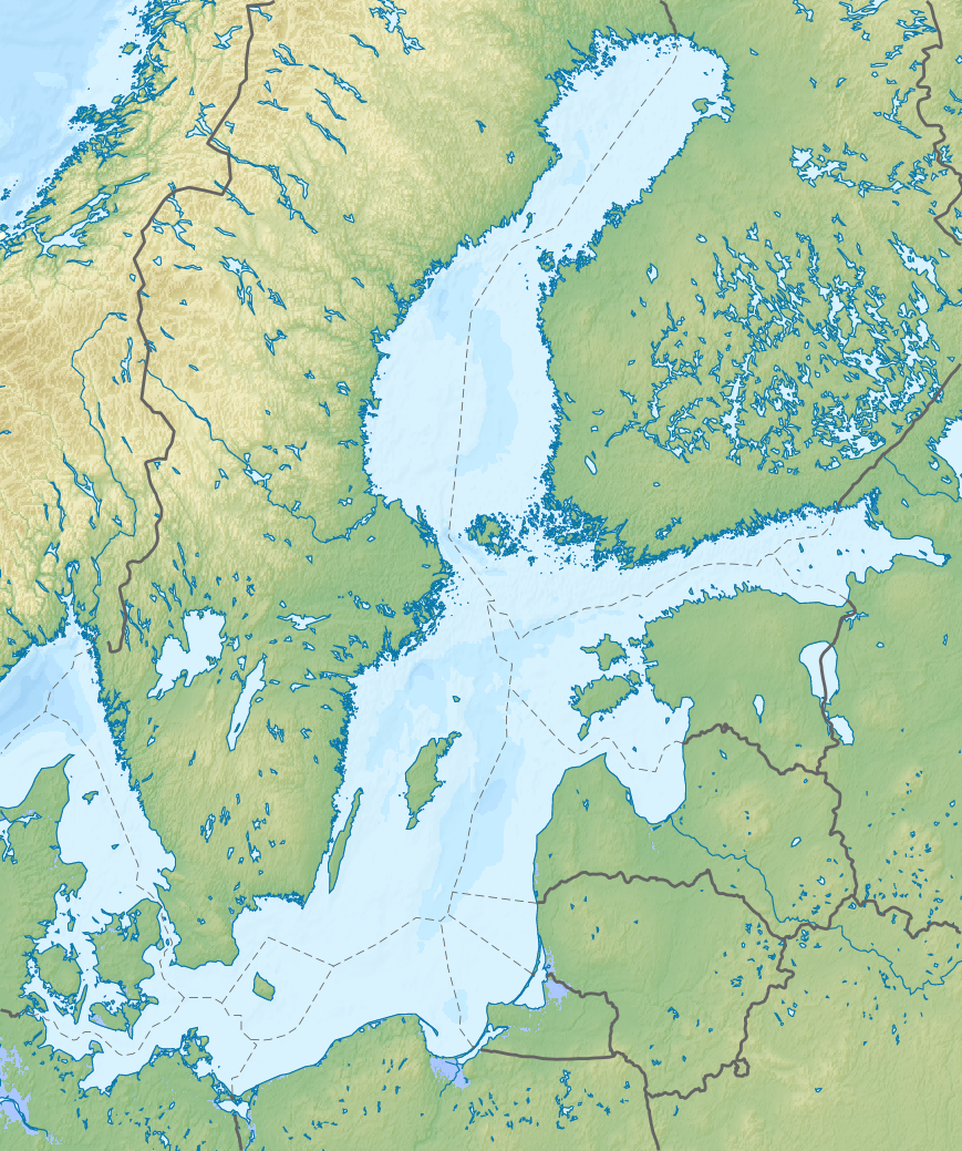
| DescriptionRelief Map of Baltic Sea.png |
Русский: Физическая карта Балтийского моря с национальными границами.
English: Relief map of the Baltic Sea with national borders added
Equirectangular projection, N/S stretching 200 %. Geographic limits of the map:
|
| Date | |
| Source |
|
| Author | Nzeemin, NordNordWest |
| Other versions |
|

Licensing
I, the copyright holder of this work, hereby publish it under the following license:
This file is licensed under the Creative Commons Attribution-Share Alike 3.0 Unported license.
- You are free:
- to share – to copy, distribute and transmit the work
- to remix – to adapt the work
- Under the following conditions:
- attribution – You must give appropriate credit, provide a link to the license, and indicate if changes were made. You may do so in any reasonable manner, but not in any way that suggests the licensor endorses you or your use.
- share alike – If you remix, transform, or build upon the material, you must distribute your contributions under the same or compatible license as the original.
Captions
Add a one-line explanation of what this file represents
Items portrayed in this file
depicts
28 August 2012
File history
Click on a date/time to view the file as it appeared at that time.
| Date/Time | Thumbnail | Dimensions | User | Comment | |
|---|---|---|---|---|---|
| current | 11:22, 28 August 2012 | | 869 × 1,039 (1.14 MB) | Nzeemin | User created page with UploadWizard |
File usage
The following pages on the English Wikipedia use this file (pages on other projects are not listed):
- 2008 Skåne County earthquake
- Battle of Danzig Bay
- Battle of Marstrand
- Battle of Saule
- Battle of Vyborg Bay (1940)
- Battle of Öland (1563)
- Bay of Puck
- Bell tower (Königsberg)
- Beyrichienkalk Formation
- Curonian Lagoon
- Curonian Spit
- Gdańsk
- Gdynia
- Haapsalu
- Hel, Poland
- Hiiumaa
- Hogland Series
- Jotnian
- Kihnu
- Kärdla
- Königsberg
- Lake Peipus
- List of offshore wind farms in the Baltic Sea
- Mõisaküla
- Narva
- Omenainen
- Port Island (Gdańsk)
- Pärnu
- Ruhnu
- Saaremaa
- Sopot
- Tallinn
- Tartu
- Vargön, Piteå
- Viljandi
- Vistula Lagoon
- Vähä Lehtikari
- Wielki Krzek
- Wolińska Kępa
- User:Mgkrupa/Code and Symbols
- User:V.B.Speranza/Articles
- Template:Location map
- Template:Location map/doc
- Template:Location map/sandbox
- Module:Location map/data/Baltic Sea
- Module:Location map/data/Baltic Sea/doc
Global file usage
The following other wikis use this file:
- Usage on ab.wikipedia.org
- Usage on ar.wikipedia.org
- Usage on azb.wikipedia.org
- Usage on az.wikipedia.org
- Usage on ba.wikipedia.org
- Usage on be.wikipedia.org
- Usage on bg.wikipedia.org
- Usage on bn.wikipedia.org
- Usage on ca.wikipedia.org
- Usage on ceb.wikipedia.org
- Usage on ce.wikipedia.org
- Usage on de.wikipedia.org
- Finnischer Meerbusen
- Bottnischer Meerbusen
- Danziger Bucht
- Gotlandtief
- Seeschlacht bei Hanko
- Bottenwiek
- Kolberger Heide
- Vorlage:Positionskarte Ostsee
- Seeschlacht bei Grönham
- Kriegers Flak
- Gefecht bei Hummelshof
- Schlacht bei Erastfer
- Schlacht von Gemauerthof
- Gefecht bei Saladen
- Schlacht bei Jakobstadt
- Gefechte bei Rauge
View more global usage of this file.
Metadata
This file contains additional information, probably added from the digital camera or scanner used to create or digitize it.
If the file has been modified from its original state, some details may not fully reflect the modified file.
| Horizontal resolution | 35.42 dpc |
|---|---|
| Vertical resolution | 35.42 dpc |
| Software used |
Retrieved from "https://en.wikipedia.org/wiki/File:Relief_Map_of_Baltic_Sea.png"