File:Scawby_&_Hibaldstow_railway_station_(site),_Lincolnshire_(geograph_6625075).jpg
From Wikipedia, the free encyclopedia
Size of this preview: 800 × 600 pixels. Other resolutions: 320 × 240 pixels | 640 × 480 pixels | 1,024 × 768 pixels | 1,280 × 960 pixels | 1,600 × 1,200 pixels.
Original file (1,600 × 1,200 pixels, file size: 665 KB, MIME type: image/jpeg)
| This is a file from the Wikimedia Commons. Information from its description page there is shown below. Commons is a freely licensed media file repository. You can help. |
Summary
| DescriptionScawby & Hibaldstow railway station (site), Lincolnshire (geograph 6625075).jpg |
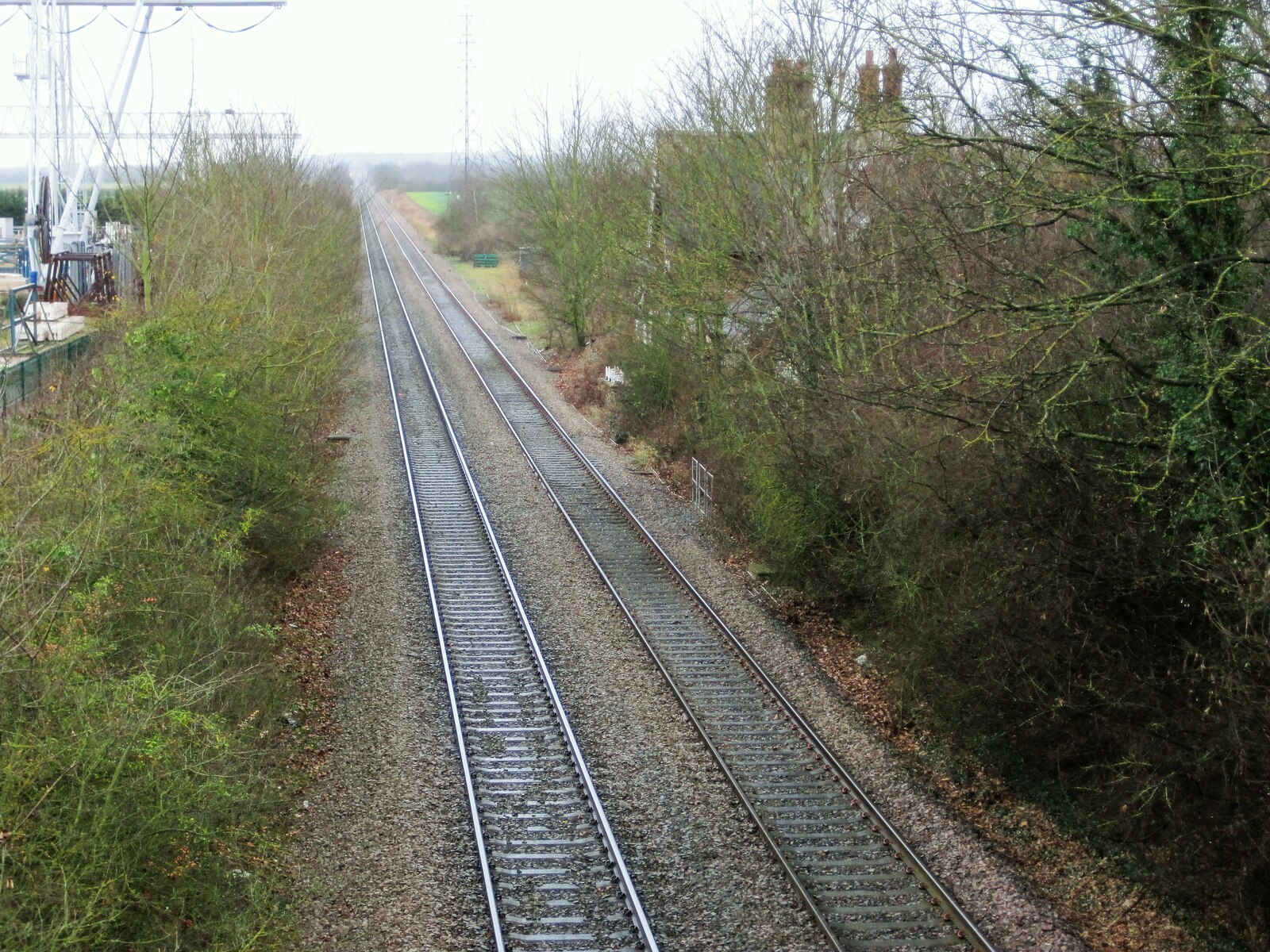
English: Scawby & Hibaldstow railway station (site), Lincolnshire Opened in 1849 by the Manchester Sheffield and Lincolnshire Railway on the line from Sheffield to Grimsby via Retford, this station closed in 1968. View south west towards Kirton Lindsey and Retford. Trees mostly obscure the view of the former station building. |
| Date | |
| Source | From geograph.org.uk |
| Author | Nigel Thompson |
| Permission (Reusing this file) |
Creative Commons Attribution Share-alike license 2.0 |
| Attribution (required by the license) InfoField | Nigel Thompson / Scawby & Hibaldstow railway station (site), Lincolnshire / |
InfoField | Nigel Thompson / Scawby & Hibaldstow railway station (site), Lincolnshire |
| Camera location | 53° 31′ 20″ N, 0° 31′ 59″ W | View this and other nearby images on: OpenStreetMap |
|---|
| Object location | 53° 31′ 18.4″ N, 0° 32′ 02″ W | View this and other nearby images on: OpenStreetMap |
|---|
Licensing

|
This image was taken from the Geograph project collection. See this photograph's page on the Geograph website for the photographer's contact details. The copyright on this image is owned by Nigel Thompson and is licensed for reuse under the Creative Commons Attribution-ShareAlike 2.0 license.
|
This file is licensed under the Creative Commons Attribution-Share Alike 2.0 Generic license.
Attribution: Nigel Thompson
- You are free:
- to share – to copy, distribute and transmit the work
- to remix – to adapt the work
- Under the following conditions:
- attribution – You must give appropriate credit, provide a link to the license, and indicate if changes were made. You may do so in any reasonable manner, but not in any way that suggests the licensor endorses you or your use.
- share alike – If you remix, transform, or build upon the material, you must distribute your contributions under the same or compatible license as the original.
Captions
Add a one-line explanation of what this file represents
Items portrayed in this file
depicts
29 December 2011
53°31'19.999"N, 0°31'59.131"W
53°31'18.41"N, 0°32'1.90"W
File history
Click on a date/time to view the file as it appeared at that time.
| Date/Time | Thumbnail | Dimensions | User | Comment | |
|---|---|---|---|---|---|
| current | 18:53, 5 October 2020 | | 1,600 × 1,200 (665 KB) | Lamberhurst | Transferred from geograph.co.uk using [https://tools.wmflabs.org/geograph2commons/ geograph2commons] |
File usage
The following pages on the English Wikipedia use this file (pages on other projects are not listed):
,_Lincolnshire_(geograph_6625075).jpg)