File:St_Margaret_Church_Bygrave_359743_00faaf1c.jpg
From Wikipedia, the free encyclopedia
No higher resolution available.
St_Margaret_Church_Bygrave_359743_00faaf1c.jpg (640 × 354 pixels, file size: 61 KB, MIME type: image/jpeg)
| This is a file from the Wikimedia Commons. Information from its description page there is shown below. Commons is a freely licensed media file repository. You can help. |
Summary
| DescriptionSt Margaret Church Bygrave 359743 00faaf1c.jpg |
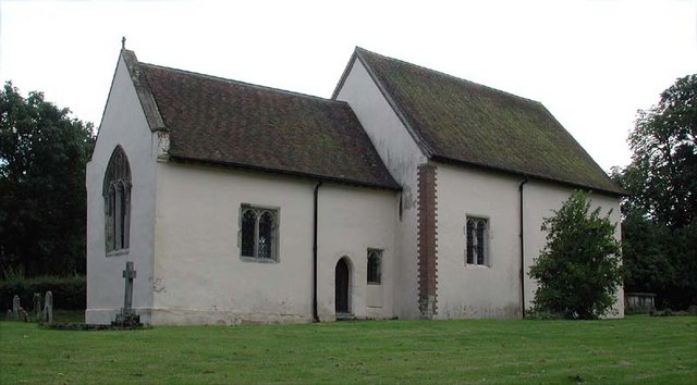
English: St Margaret of Antioch, Bygrave, Herts |
| Date | |
| Source | From geograph.org.uk |
| Author | John Salmon |
| Camera location | 52° 00′ 33.34″ N, 0° 09′ 24.26″ W | View this and other nearby images on: OpenStreetMap |
|---|
Licensing

|
This image was taken from the Geograph project collection. See this photograph's page on the Geograph website for the photographer's contact details. The copyright on this image is owned by John Salmon and is licensed for reuse under the Creative Commons Attribution-ShareAlike 2.0 license.
|
This file is licensed under the Creative Commons Attribution-Share Alike 2.0 Generic license.
Attribution: John Salmon
- You are free:
- to share – to copy, distribute and transmit the work
- to remix – to adapt the work
- Under the following conditions:
- attribution – You must give appropriate credit, provide a link to the license, and indicate if changes were made. You may do so in any reasonable manner, but not in any way that suggests the licensor endorses you or your use.
- share alike – If you remix, transform, or build upon the material, you must distribute your contributions under the same or compatible license as the original.
Captions
Add a one-line explanation of what this file represents
Items portrayed in this file
depicts
some value
30 August 2004
52°0'33.34"N, 0°9'24.26"W
File history
Click on a date/time to view the file as it appeared at that time.
| Date/Time | Thumbnail | Dimensions | User | Comment | |
|---|---|---|---|---|---|
| current | 17:01, 14 April 2008 | | 640 × 354 (61 KB) | Victuallers | {{Information |Description=Bygrave Bygrave is a village and civil parish in the North Hertfordshire district of Hertfordshire, England, about 2 miles north-east of Letchworth. According to the 2001 census it had a population of 271. A reserv |
File usage
The following pages on the English Wikipedia use this file (pages on other projects are not listed):
Global file usage
The following other wikis use this file:
- Usage on arz.wikipedia.org
- Usage on fr.wikipedia.org
- Usage on www.wikidata.org
Metadata
This file contains additional information, probably added from the digital camera or scanner used to create or digitize it.
If the file has been modified from its original state, some details may not fully reflect the modified file.
| Camera manufacturer | NIKON |
|---|---|
| Camera model | E990 |
| Exposure time | 10/2,423 sec (0.0041271151465126) |
| F-number | f/6.2 |
| ISO speed rating | 100 |
| Date and time of data generation | 13:54, 30 August 2004 |
| Lens focal length | 8.2 mm |
| Orientation | Normal |
| Horizontal resolution | 300 dpi |
| Vertical resolution | 300 dpi |
| Software used | Adobe Photoshop 7.0 |
| File change date and time | 10:51, 10 March 2007 |
| Y and C positioning | Co-sited |
| Exposure Program | Normal program |
| Exif version | 2.1 |
| Date and time of digitizing | 13:54, 30 August 2004 |
| Meaning of each component |
|
| Image compression mode | 3 |
| Exposure bias | 0 |
| Maximum land aperture | 3.5 APEX (f/3.36) |
| Metering mode | Pattern |
| Light source | Unknown |
| Flash | Flash did not fire |
| Supported Flashpix version | 1 |
| Color space | sRGB |
| File source | Digital still camera |
| Scene type | A directly photographed image |
| IIM version | 2 |