File:Tehran_skyline_view_from_top_of_Milad_Tower_2011-09-28.jpg
From Wikipedia, the free encyclopedia
Size of this preview: 800 × 533 pixels. Other resolutions: 320 × 213 pixels | 640 × 426 pixels | 1,024 × 682 pixels | 1,280 × 852 pixels | 3,066 × 2,041 pixels.
Original file (3,066 × 2,041 pixels, file size: 2.64 MB, MIME type: image/jpeg)
| This is a file from the Wikimedia Commons. Information from its description page there is shown below. Commons is a freely licensed media file repository. You can help. |
Summary
| DescriptionTehran skyline view from top of Milad Tower 2011-09-28.jpg |
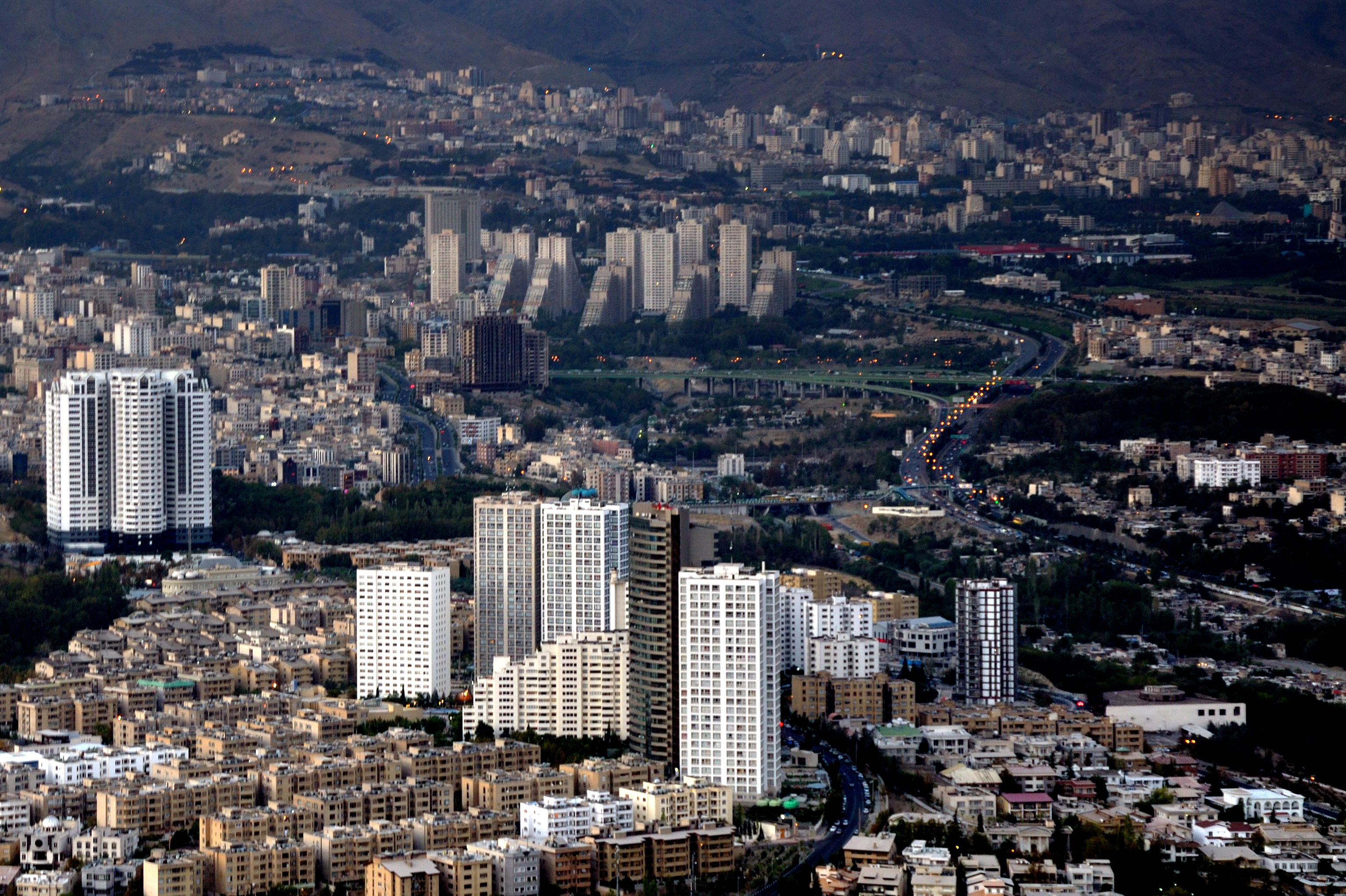
فارسی: چشمانداز خط آسمان تهران (شهرک غرب و آتیساز) از بالای برج میلاد - بخش شمال باختری تهران English: A view from Tehran skyline (North west of Tehran: Shahrak e Gharb district, Atisaz Residetial Towers and Chamran (Parkway) Expressway), Tehran, Iran |
| Date | Taken on 28 September 2011, 16:22:41 |
| Source | File:2011-09-28 16-22-41 Iran.jpg (cropped derivative of original) |
| Author | Simisa |
| Camera location | 35° 45′ 31.87″ N, 51° 22′ 49.27″ E | View this and other nearby images on: OpenStreetMap |
|---|
Licensing
This file is licensed under the Creative Commons Attribution-Share Alike 3.0 Unported license.
- You are free:
- to share – to copy, distribute and transmit the work
- to remix – to adapt the work
- Under the following conditions:
- attribution – You must give appropriate credit, provide a link to the license, and indicate if changes were made. You may do so in any reasonable manner, but not in any way that suggests the licensor endorses you or your use.
- share alike – If you remix, transform, or build upon the material, you must distribute your contributions under the same or compatible license as the original.
| Annotations InfoField | This image is annotated: View the annotations at Commons |
805
1264
234
333
3066
2041
Mahestan A1 Tower
1230
1107
199
322
3066
2041
Mahestan A2 Tower
1073
1110
161
345
3066
2041
Mahestan A3 Tower
1537
1264
253
528
3066
2041
Mahestan B2 Tower
1430
1137
107
586
3066
2041
Mahestan B3 Tower
1058
1455
372
222
3066
2041
Mahestan C1 Tower
88
827
414
440
3066
2041
Iran Zamin Residential Complex
Captions
Add a one-line explanation of what this file represents
Items portrayed in this file
depicts
28 September 2011
35°45'31.867"N, 51°22'49.271"E
File history
Click on a date/time to view the file as it appeared at that time.
| Date/Time | Thumbnail | Dimensions | User | Comment | |
|---|---|---|---|---|---|
| current | 04:25, 21 January 2015 | | 3,066 × 2,041 (2.64 MB) | Msanta20 | User created page with UploadWizard |
File usage
The following pages on the English Wikipedia use this file (pages on other projects are not listed):
Global file usage
The following other wikis use this file:
- Usage on ace.wikipedia.org
- Usage on arz.wikipedia.org
- Usage on azb.wikipedia.org
- Usage on fa.wikipedia.org
- Usage on pnb.wikipedia.org
Metadata
This file contains additional information, probably added from the digital camera or scanner used to create or digitize it.
If the file has been modified from its original state, some details may not fully reflect the modified file.
| Camera manufacturer | NIKON CORPORATION |
|---|---|
| Camera model | NIKON D90 |
| Author | Hansueli Krapf |
| Copyright holder |
|
| Exposure time | 1/20 sec (0.05) |
| F-number | f/6.3 |
| ISO speed rating | 400 |
| Date and time of data generation | 16:22, 28 September 2011 |
| Lens focal length | 52 mm |
| Latitude | 35° 44′ 41.64″ N |
| Longitude | 51° 22′ 31.21″ E |
| Altitude | 1,737 meters above sea level |
| Source | Hansueli Krapf |
| Label | Wikimedia Commons |
| Horizontal resolution | 300 dpi |
| Vertical resolution | 300 dpi |
| Software used | Capture NX 2.2.7 W |
| File change date and time | 20:06, 20 January 2015 |
| Y and C positioning | Centered |
| Pair of black and white reference values |
|
| Exposure Program | Not defined |
| Exif version | 2.3 |
| Date and time of digitizing | 16:22, 28 September 2011 |
| Meaning of each component |
|
| Exposure bias | 0 |
| Maximum land aperture | 4.6 APEX (f/4.92) |
| Metering mode | Pattern |
| Light source | Unknown |
| Flash | Flash did not fire, auto mode |
| DateTime subseconds | 00 |
| DateTimeOriginal subseconds | 00 |
| DateTimeDigitized subseconds | 00 |
| Supported Flashpix version | 1 |
| Color space | Uncalibrated |
| Sensing method | One-chip color area sensor |
| File source | Digital still camera |
| Scene type | A directly photographed image |
| Custom image processing | Normal process |
| Exposure mode | Auto exposure |
| White balance | Auto white balance |
| Digital zoom ratio | 1 |
| Focal length in 35 mm film | 78 mm |
| Scene capture type | Landscape |
| Scene control | Low gain up |
| Contrast | Normal |
| Saturation | Normal |
| Sharpness | Normal |
| Subject distance range | Unknown |
| Unique image ID | 1d99ec65842c134e61547668d4ab2bd5 |
| GPS time (atomic clock) | 16:22 |
| Geodetic survey data used | WGS-84 |
| GPS date | 28 September 2011 |
| GPS tag version | 0.0.2.2 |
| Urgency | 1 |
| Contact information |
Hinterdorf 24 Dörflingen, , CH-8239 |
| Keywords |
|
| Code for country shown | IRN |
| Sublocation of city shown | Shahrak-e Qods |
| Country shown | Iran |
| Province or state shown | Tehrān |
| IIM version | 4 |