File:Valcourt.jpg
From Wikipedia, the free encyclopedia
Size of this preview: 800 × 600 pixels. Other resolutions: 320 × 240 pixels | 640 × 480 pixels | 1,024 × 768 pixels | 1,280 × 960 pixels | 2,560 × 1,920 pixels | 3,072 × 2,304 pixels.
Original file (3,072 × 2,304 pixels, file size: 3.72 MB, MIME type: image/jpeg)
| This is a file from the Wikimedia Commons. Information from its description page there is shown below. Commons is a freely licensed media file repository. You can help. |
Summary
| Camera location | 45° 30′ 16.35″ N, 72° 19′ 01.16″ W | View this and other nearby images on: OpenStreetMap |
|---|
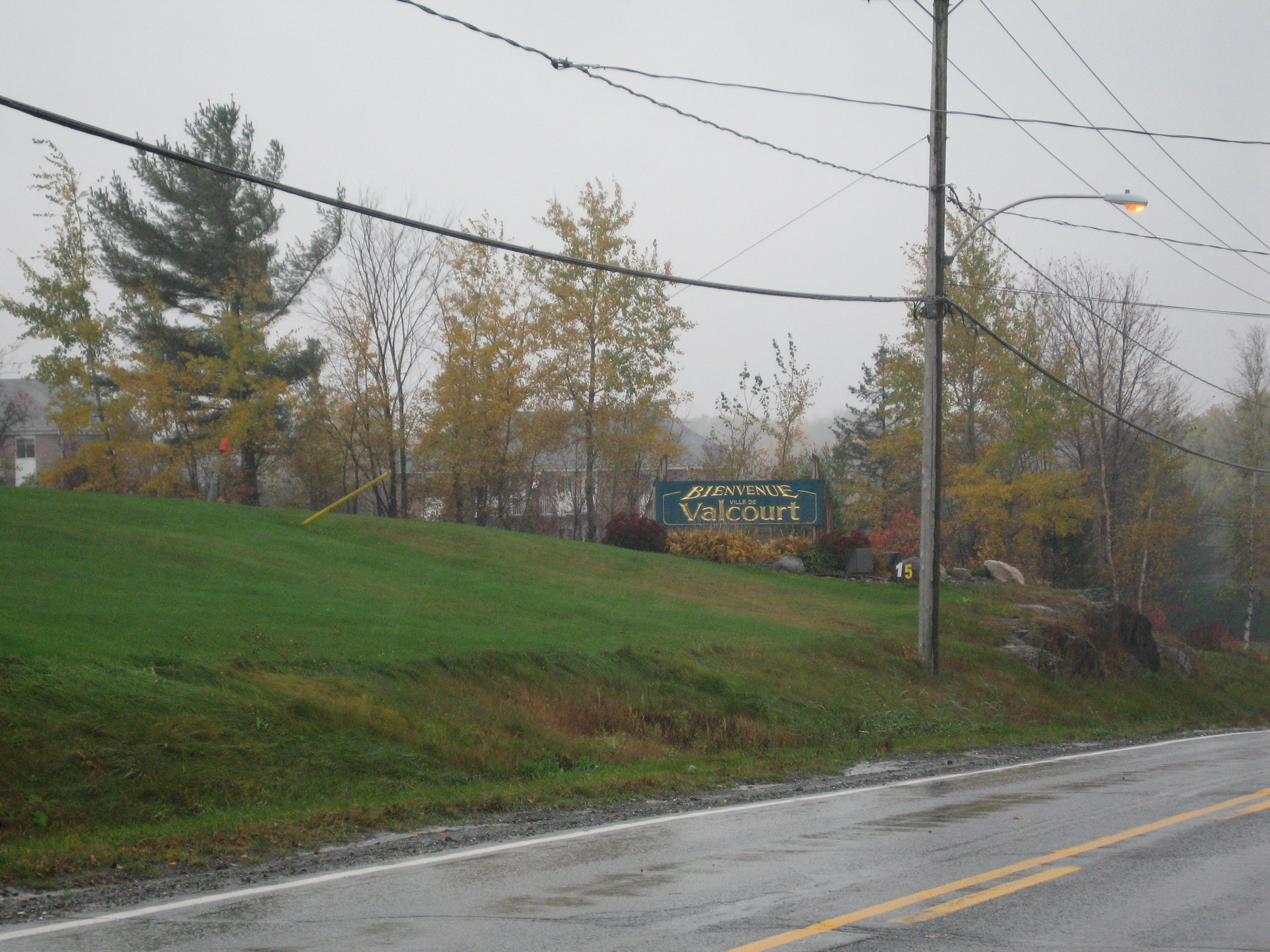
| DescriptionValcourt.jpg |
English: Welcome sign on the township/city of Valcourt, Quebec boundary
Français : Panneau de bienvenue à la limite du canton et de la ville de Valcourt, Estrie |
| Date | |
| Source | Own work |
| Author | Nakor |
Licensing
I, the copyright holder of this work, hereby publish it under the following licenses:

|
Permission is granted to copy, distribute and/or modify this document under the terms of the GNU Free Documentation License, Version 1.2 or any later version published by the Free Software Foundation; with no Invariant Sections, no Front-Cover Texts, and no Back-Cover Texts. A copy of the license is included in the section entitled GNU Free Documentation License.http://www.gnu.org/copyleft/fdl.htmlGFDLGNU Free Documentation Licensetruetrue |
This file is licensed under the Creative Commons Attribution-Share Alike 3.0 Unported, 2.5 Generic, 2.0 Generic and 1.0 Generic license.
- You are free:
- to share – to copy, distribute and transmit the work
- to remix – to adapt the work
- Under the following conditions:
- attribution – You must give appropriate credit, provide a link to the license, and indicate if changes were made. You may do so in any reasonable manner, but not in any way that suggests the licensor endorses you or your use.
- share alike – If you remix, transform, or build upon the material, you must distribute your contributions under the same or compatible license as the original.
You may select the license of your choice.
Captions
Add a one-line explanation of what this file represents
Items portrayed in this file
depicts
23 October 2007
45°30'16.351"N, 72°19'1.164"W
0.01666666666666666666 second
4.9
23.1 millimetre
image/jpeg
File history
Click on a date/time to view the file as it appeared at that time.
| Date/Time | Thumbnail | Dimensions | User | Comment | |
|---|---|---|---|---|---|
| current | 12:57, 26 September 2008 | | 3,072 × 2,304 (3.72 MB) | Nakor | {{Information |Description={{en|1=Valcourt, Quebec}} {{fr|1=Valcourt, Estrie}} |Source=travail personnel (own work) |Author=Tieum p |Date=2007 October 23 |Permission= |other_versions= }} <!--{{ImageUpload|full}}--> Category:Estrie |
File usage
The following pages on the English Wikipedia use this file (pages on other projects are not listed):
Global file usage
The following other wikis use this file:
- Usage on af.wikipedia.org
- Usage on atj.wikipedia.org
- Usage on ceb.wikipedia.org
- Usage on es.wikipedia.org
- Usage on eu.wikipedia.org
- Usage on fa.wikipedia.org
- Usage on fr.wikipedia.org
- Usage on sr.wikipedia.org
- Usage on vo.wikipedia.org
- Usage on www.wikidata.org
Metadata
This file contains additional information, probably added from the digital camera or scanner used to create or digitize it.
If the file has been modified from its original state, some details may not fully reflect the modified file.
| Camera manufacturer | Canon |
|---|---|
| Camera model | Canon DIGITAL IXUS 750 |
| Exposure time | 1/60 sec (0.016666666666667) |
| F-number | f/4.9 |
| Date and time of data generation | 14:38, 23 October 2007 |
| Lens focal length | 23.1 mm |
| Latitude | 45° 30′ 16.35″ N |
| Longitude | 72° 19′ 1.16″ W |
| Altitude | 211 meters above sea level |
| City shown | Valcourt |
| Orientation | Normal |
| Horizontal resolution | 180 dpi |
| Vertical resolution | 180 dpi |
| File change date and time | 14:38, 23 October 2007 |
| Y and C positioning | Centered |
| Exif version | 2.2 |
| Date and time of digitizing | 14:38, 23 October 2007 |
| Meaning of each component |
|
| Image compression mode | 5 |
| Shutter speed | 5.90625 |
| APEX aperture | 4.59375 |
| Exposure bias | 0 |
| Maximum land aperture | 4.59375 APEX (f/4.91) |
| Metering mode | Pattern |
| Flash | Flash fired, auto mode |
| Supported Flashpix version | 1 |
| Color space | sRGB |
| Focal plane X resolution | 10,816.901408451 |
| Focal plane Y resolution | 10,816.901408451 |
| Focal plane resolution unit | inches |
| Sensing method | One-chip color area sensor |
| File source | Digital still camera |
| Custom image processing | Normal process |
| Exposure mode | Auto exposure |
| White balance | Auto white balance |
| Digital zoom ratio | 1 |
| Scene capture type | Standard |
| GPS time (atomic clock) | 14:38 |
| Satellites used for measurement | 0 |
| Geodetic survey data used | WGS-84 |
| GPS date | 23 October 2007 |
| GPS tag version | 0.0.2.2 |
| Owner of camera | Tieum_p |
| Code for country shown | CAN |
| Sublocation of city shown | Valcourt |
| Country shown | Canada |
| Province or state shown | Quebec |
| IIM version | 4 |
Retrieved from "https://en.wikipedia.org/wiki/File:Valcourt.jpg"