Fichier:Alberta-Edmonton_Region_map.png
De Wikipedia, l'encyclopédie encyclopedia
Taille de cet aperçu : 341 × 599 pixels. Autres résolutions : 136 × 240 pixels | 352 × 618 pixels.
Fichier d’origine (352 × 618 pixels, taille du fichier : 32 kio, type MIME : image/png)
Ce fichier et sa description proviennent de Wikimedia Commons.
Description
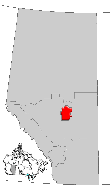
| DescriptionAlberta-Edmonton Region map.png | Map of Edmonton Region, Alberta, Canada |
| Date | |
| Source | GIS data |
| Auteur | Qyd (d · contributions) |
| Autorisation (Réutilisation de ce fichier) |
All |
Conditions d’utilisation
| Public domainPublic domainfalsefalse |
| Moi, propriétaire des droits d’auteur sur cette œuvre, la place dans le domaine public. Ceci s'applique dans le monde entier. Dans certains pays, ceci peut ne pas être possible ; dans ce cas : J’accorde à toute personne le droit d’utiliser cette œuvre dans n’importe quel but, sans aucune condition, sauf celles requises par la loi. |
Légendes
Ajoutez en une ligne la description de ce que représente ce fichier
Éléments décrits dans ce fichier
dépeint
janvier 2006
image/png
b5d86d1c3012d26c712b406b9d69c6be15eb71a0
32 712 octet
618 pixel
352 pixel
Historique du fichier
Cliquer sur une date et heure pour voir le fichier tel qu'il était à ce moment-là.
| Date et heure | Vignette | Dimensions | Utilisateur | Commentaire | |
|---|---|---|---|---|---|
| actuel | 4 janvier 2007 à 18:29 | | 352 × 618 (32 kio) | Qyd | {{Information |Description=Map of Edmonton Region, Alberta, Canada |Source=GIS data |Date=Jan 2006 |Author={{User|Qyd}} |Permission=All |other_versions= }} Category:Maps of Alberta |
Utilisation du fichier
La page suivante utilise ce fichier :
Usage global du fichier
Les autres wikis suivants utilisent ce fichier :
- Utilisation sur de.wikipedia.org
- Utilisation sur en.wikipedia.org
- Kavanagh, Alberta
- Lakeview, Alberta
- Knottwood, Edmonton
- Menisa, Edmonton
- Delton, Edmonton
- Elmwood, Edmonton
- Avonmore, Edmonton
- Evergreen, Edmonton
- Lorelei, Edmonton
- Lee Ridge, Edmonton
- Argyll, Edmonton
- Jasper Park, Edmonton
- Belle Rive, Edmonton
- Klarvatten, Edmonton
- Brintnell, Edmonton
- Windermere, Edmonton
- Silver Berry, Edmonton
- Wild Rose, Edmonton
- Ridgewood, Edmonton
- Lakewood, Edmonton
- Burnewood, Edmonton
- Westview Village, Edmonton
- Hudson, Edmonton
- Elmwood Park, Edmonton
- Woodvale, Edmonton
- Millhurst, Edmonton
- Southwood, Edmonton
- Millbourne, Edmonton
- Maple Ridge, Edmonton
- Breckenridge Greens, Edmonton
- Rutherford, Edmonton
- Cumberland, Edmonton
- Oxford, Edmonton
- Carlton, Edmonton
- MacEwan, Edmonton
- Cameron Heights, Edmonton
- Rapperswill, Edmonton
- Chambery, Edmonton
- Place LaRue, Edmonton
- Carter Crest, Edmonton
- Schonsee, Edmonton
- The Hamptons, Edmonton
- Donsdale, Edmonton
- Suder Greens, Edmonton
- Stewart Greens, Edmonton
- Hollick-Kenyon, Edmonton
- Whitemud Creek
- Blackmud Creek, Edmonton
- Callaghan, Edmonton
Voir davantage sur l’utilisation globale de ce fichier.
Ce document provient de « https://fr.wikipedia.org/wiki/Fichier:Alberta-Edmonton_Region_map.png ».