Fichier:Stirling_UK_relief_location_map.jpg
De Wikipedia, l'encyclopédie encyclopedia
Taille de cet aperçu : 583 × 600 pixels. Autres résolutions : 233 × 240 pixels | 467 × 480 pixels | 747 × 768 pixels | 996 × 1 024 pixels | 2 002 × 2 059 pixels.
Fichier d’origine (2 002 × 2 059 pixels, taille du fichier : 675 kio, type MIME : image/jpeg)
Ce fichier et sa description proviennent de Wikimedia Commons.
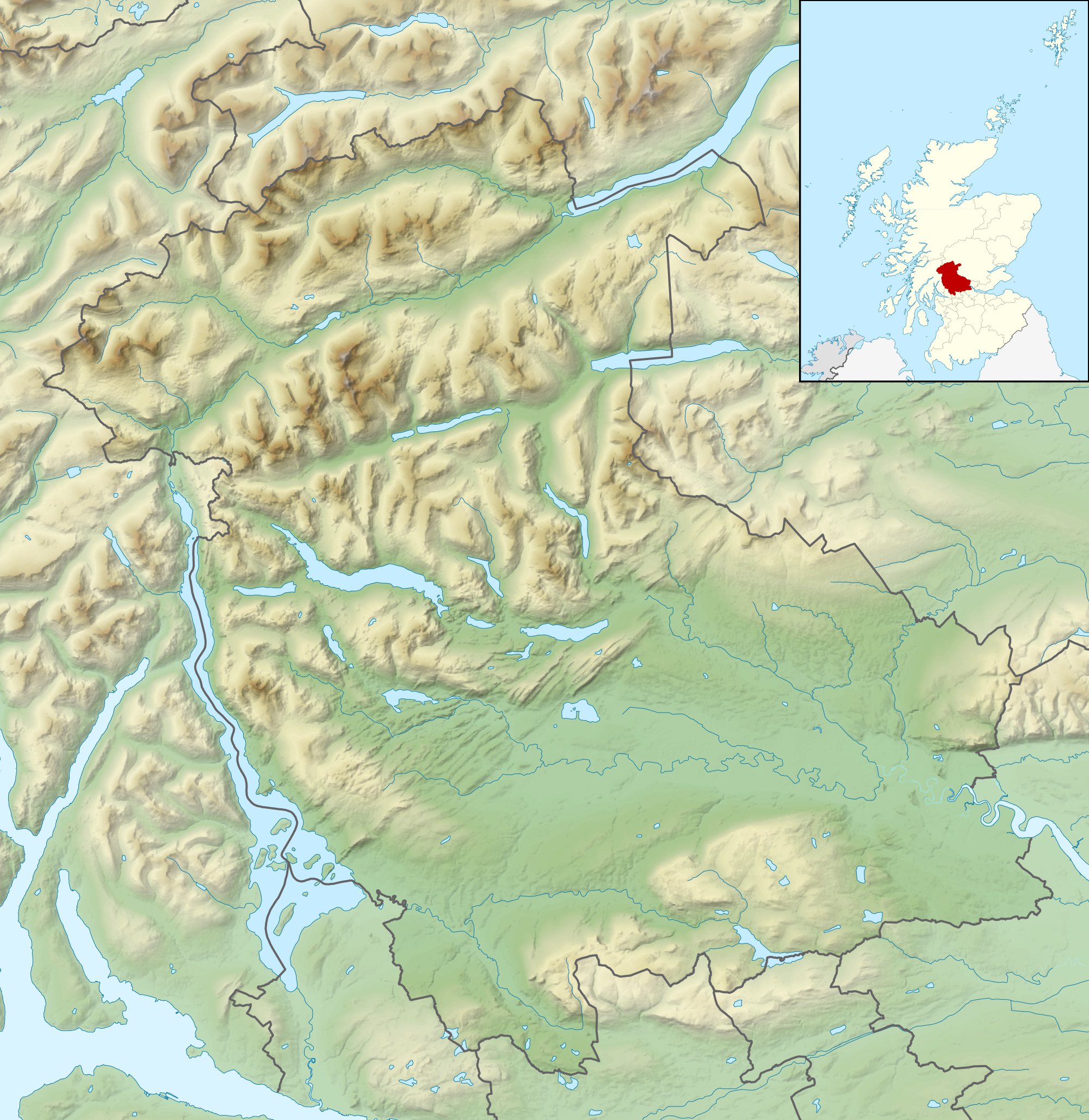
| DescriptionStirling UK relief location map.jpg |
Relief map of Stirling, UK. Equirectangular map projection on WGS 84 datum, with N/S stretched 175% Geographic limits:
|
| Date | |
| Source |
|
| Auteur | Nilfanion, created using Ordnance Survey data |
| Autorisation (Réutilisation de ce fichier) |
Ce fichier est disponible selon les termes de la licence Creative Commons Attribution – Partage dans les Mêmes Conditions 3.0 (non transposée). Attribution: Contains Ordnance Survey data © Crown copyright and database right
|
| Autres versions | File:Stirling UK blank map.svg - Blank map |
Légendes
Ajoutez en une ligne la description de ce que représente ce fichier
Éléments décrits dans ce fichier
dépeint
30 novembre 2010
Historique du fichier
Cliquer sur une date et heure pour voir le fichier tel qu'il était à ce moment-là.
| Date et heure | Vignette | Dimensions | Utilisateur | Commentaire | |
|---|---|---|---|---|---|
| actuel | 30 novembre 2011 à 14:31 | | 2 002 × 2 059 (675 kio) | Nilfanion | {{Information |Description=Relief map of Stirling, UK. Equirectangular map projection on WGS 84 datum, with N/S stretched 175% Geographic limits: *West: 4.90W *East: 3.76W *North: 56.60N *South: 55.93N |Source=[[w:Ordnance Survey|Ordnance |
Utilisation du fichier
Les 3 pages suivantes utilisent ce fichier :
Usage global du fichier
Les autres wikis suivants utilisent ce fichier :
- Utilisation sur ar.wikipedia.org
- Utilisation sur bg.wikipedia.org
- Utilisation sur ceb.wikipedia.org
- Utilisation sur de.wikipedia.org
- Ben Lomond (Schottland)
- Stirling Castle
- Loch Katrine
- Dumyat
- Doune Castle
- Ben Ledi
- Loch Achray
- Loch Ard
- Loch Chon
- Loch Drunkie
- Vorlage:Positionskarte Schottland Stirling
- Culcreuch Castle
- Loch Venachar
- Falls of Dochart
- Castle Menzies
- Lake of Menteith
- Inchbuie
- Inchcailloch
- Loch Lubnaig
- Loch Voil
- Ben Vorlich (Loch Earn)
- Stùc a’ Chroin
- Ben More (Crianlarich)
- Stob Binnein
- Cruach Ardrain
- Beinn Tulaichean
- An Caisteal
- Beinn a’ Chroin
- Beinn Chabhair
- Ben Oss
- Beinn Dubhchraig
- Ben Challum
- Meall Glas
- Sgiath Chùil
- Falls of Falloch
- Mugdock Castle
- Plean Castle
- Loch Arklet
- Dubh Lochan
- Utilisation sur en.wikipedia.org
Voir davantage sur l’utilisation globale de ce fichier.
Ce document provient de « https://fr.wikipedia.org/wiki/Fichier:Stirling_UK_relief_location_map.jpg ».