File:Košice_Region_-_background_map.png
De Wikipedia, l'encyclopédie encyclopedia
Taille de cet aperçu : 800 × 400 pixels. Autres résolutions : 320 × 160 pixels | 640 × 320 pixels | 1 520 × 760 pixels.
Fichier d’origine (1 520 × 760 pixels, taille du fichier : 1,27 Mio, type MIME : image/png)
Ce fichier et sa description proviennent de Wikimedia Commons.
Description
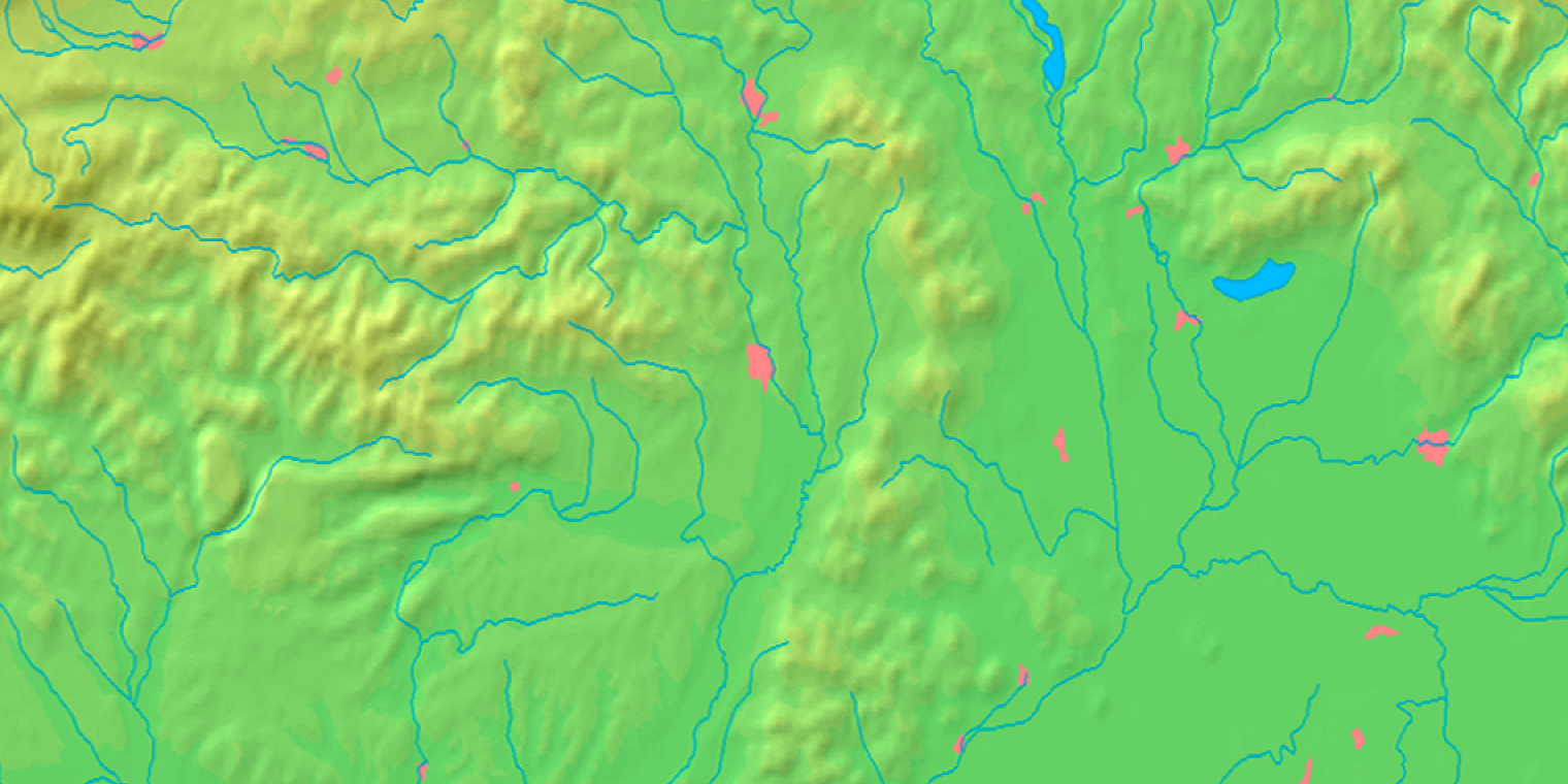
| DescriptionKošice Region - background map.png | Background map of the Košice Region, Slovakia, ready for the Geobox template, calibrated at en:Template:Geobox locator Košice Region |
| Date | |
| Source | Made my myself from free maps available at www.demis.nl |
| Auteur | Caroig |
| Autres versions | Œuvres dérivées de ce fichier : Košice Region - physical map.png |
Conditions d’utilisation
| Public domainPublic domainfalsefalse |
This image is in the public domain because it came from the site https://www.demis.nl/products/web-map-server/examples/ and was released by the copyright holder. Permission is granted to copy, distribute and/or modify this map since it is based on free of copyright images from: www.demis.nl. See also approval email on de.wp and its clarification.
Deutsch | English | македонски | മലയാളം | Nederlands | slovenščina | +/− |
| Public domainPublic domainfalsefalse |
| This work has been released into the public domain by its copyright holder, www.demis.nl. This applies worldwide. Dans certains pays, ceci peut ne pas être possible ; dans ce cas : www.demis.nl accorde à toute personne le droit d’utiliser cette œuvre dans n’importe quel but, sans aucune condition, sauf celles requises par la loi. Public domainPublic domainfalsefalse |
Légendes
Ajoutez en une ligne la description de ce que représente ce fichier
Éléments décrits dans ce fichier
dépeint
27 octobre 2007
Historique du fichier
Cliquer sur une date et heure pour voir le fichier tel qu'il était à ce moment-là.
| Date et heure | Vignette | Dimensions | Utilisateur | Commentaire | |
|---|---|---|---|---|---|
| actuel | 27 octobre 2007 à 12:22 | | 1 520 × 760 (1,27 Mio) | Caroig | == Summary == {{Information |Description=Background map of the Košice Region, Slovakia, ready for the Geobox template, calibrated at en:Template:Geobox locator Košice Region |Source=Made my myself from free maps available at |
Utilisation du fichier
La page suivante utilise ce fichier :
Usage global du fichier
Les autres wikis suivants utilisent ce fichier :
- Utilisation sur arz.wikipedia.org
- Utilisation sur en.wikipedia.org
- Utilisation sur fa.wikipedia.org
- Utilisation sur mk.wikipedia.org
- Utilisation sur simple.wikipedia.org
- Utilisation sur si.wikipedia.org
- Utilisation sur sk.wikipedia.org
- Tunel Dargov
- Michalovský hrad
- Parič
- Turniansky hrad
- Slanec (hrad)
- Veľký Kamenec (hrad)
- Košický hrad
- Šablóna:Geobox
- Zemplínsky hrad
- Gelnica (hrad)
- Šablóna:Geobox/Dokumentácia
- Zvonivá jama
- Tunel Ďurďošík
- Kochanovce (Sečovce)
- Albínovská hora
- Redaktor:Pe3kZA/Pieskovisko
- Tunel Soroška
- Obišovský hrad
- Kysak (hrad)
- Stratenská jaskyňa
- Humenec (chránené územie)
- Malý Milič (národná prírodná rezervácia)
- Pri dubníkoch
- Budulov
- Kluknavská kotlina
- Novoveská kotlina
- Vlašská kotlina
- Levočská brána (Spišská Nová Ves)
Voir davantage sur l’utilisation globale de ce fichier.
Ce document provient de « https://fr.wikipedia.org/wiki/Fichier:Košice_Region_-_background_map.png ».