File:Relief_Map_of_Poland.png
De Wikipedia, l'encyclopédie encyclopedia
Fichier d’origine (1 000 × 972 pixels, taille du fichier : 1,46 Mio, type MIME : image/png)
Ce fichier et sa description proviennent de Wikimedia Commons.
Description
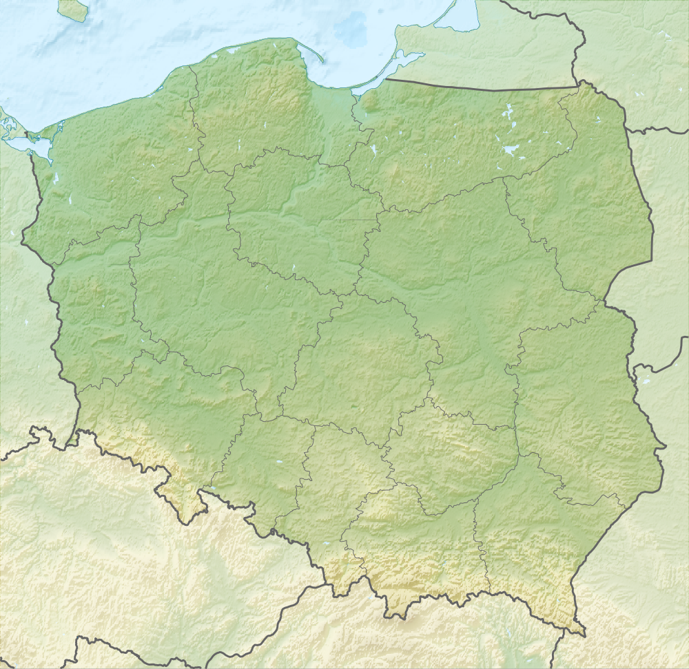
| DescriptionRelief Map of Poland.png |
English: Relief map of Poland
Equirectangular projection, N/S stretching 160 %. Geographic limits of the map:
|
| Date | |
| Source |
|
| Auteur | derivative work Виктор_В |
| Autres versions |
|


Conditions d’utilisation
- Vous êtes libre :
- de partager – de copier, distribuer et transmettre cette œuvre
- d’adapter – de modifier cette œuvre
- Sous les conditions suivantes :
- paternité – Vous devez donner les informations appropriées concernant l'auteur, fournir un lien vers la licence et indiquer si des modifications ont été faites. Vous pouvez faire cela par tout moyen raisonnable, mais en aucune façon suggérant que l’auteur vous soutient ou approuve l’utilisation que vous en faites.
- partage à l’identique – Si vous modifiez, transformez, ou vous basez sur cette œuvre, vous devez distribuer votre contribution sous la même licence ou une licence compatible avec celle de l’original.
Légendes
28 août 2010
Historique du fichier
Cliquer sur une date et heure pour voir le fichier tel qu'il était à ce moment-là.
| Date et heure | Vignette | Dimensions | Utilisateur | Commentaire | |
|---|---|---|---|---|---|
| actuel | 28 août 2010 à 20:02 | | 1 000 × 972 (1,46 Mio) | Виктор В | рельеф дна |
| 28 août 2010 à 14:08 |  | 1 000 × 972 (1,43 Mio) | Виктор В | == {{int:filedesc}} == {{Information |Description={{en|Relief map of Poland}} Equirectangular projection, N/S stretching 160 %. Geographic limits of the map: * N: 55.2° N * S: 48.7° N * W: 13.8° E * E: 24.5° E |Source=*[[:File:Poland lo |
Utilisation du fichier
Plus de 100 pages utilisent ce fichier. La liste suivante affiche seulement les 100 premières pages qui utilisent ce fichier. Une liste complète est disponible.
- Bataille d'Eylau
- Bataille d'Heilsberg
- Bataille de Grunwald
- Bataille de Legnica (1241)
- Bataille de Tannenberg (1914)
- Bataille de Varsovie (1920)
- Białogard
- Białystok
- Borzykowa
- Brzeziny
- Bydgoszcz
- Bytom
- Będzin
- Canal de Bydgoszcz
- Cieszyn
- Cracovie
- Częstochowa
- Dobrzyń nad Wisłą
- Drohiczyn
- Elbląg
- Forêt de Białowieża
- Gdańsk
- Gdynia
- Gniezno
- Gorzów Wielkopolski
- Gąsawa
- Głogów
- Insurrection de Varsovie
- Iława
- Jelenia Góra
- Jędrzejów
- Kalisz
- Katowice
- Kielce
- Kołobrzeg
- Kościan
- Krosno Odrzańskie
- Kurów (Puławy)
- Kłodzko
- Legnica
- Limanowa
- Lubartów
- Lublin
- Ląd
- Malbork
- Nakło nad Notecią
- Nowa Brzeźnica (Pajęczno)
- Nowy Sącz
- Nysa (Pologne)
- Olsztyn
- Opole
- Ostrołęka
- Ostrów Wielkopolski
- Otwock
- Oświęcim
- Piła
- Poznań
- Przemyśl
- Płock
- Racibórz
- Rybnik
- Rydułtowy
- Rzeszów
- Sandomierz
- Santok (Lubusz)
- Sieradz
- Siewierz
- Sosnowiec
- Stalowa Wola
- Stargard
- Szczecin
- Szczecinek
- Słupsk
- Toruń
- Trzebnica
- Tychy
- Ujście
- Uniejów
- Usedom
- Varsovie
- Wadowice
- Wałbrzych
- Wieliczka
- Wieluń
- Wiślica
- Wolbórz
- Wolin (ville)
- Wolin (île)
- Wrocław
- Zakopane
- Zamość
- Zgierz
- Zielona Góra
- Łomża
- Łowicz
- Łódź
- Łęczyca
- Śrem
- Żagań
- Żary
Voir plus de liens vers ce fichier.
Usage global du fichier
Les autres wikis suivants utilisent ce fichier :
- Utilisation sur ar.wikipedia.org
- Utilisation sur as.wikipedia.org
- Utilisation sur av.wikipedia.org
- Utilisation sur be-tarask.wikipedia.org
- Utilisation sur be.wikipedia.org
- Заходні Буг
- Нараў
- Шаблон:На карце/Польшча
- Вісла
- Чорная Ганча
- Марыха
- Вепш
- Бебжа
- Свентакшыскія горы
- Снежка
- Піліца
- Віслока
- Рысы
- Рэга
- Варта
- Тарніца
- Нотаць
- Дзіўна
- Волін (востраў)
- Свіна (Польшча)
- Сабяшэўскі востраў
- Блэндоўская пустыня
- Лыса-Гура (Свентакшыскія горы)
- Ніда (рака)
- Востраў збожжасховішчаў
- Матлава
- Мёртвая Вісла
- Батанічны сад Уроцлаўскага ўніверсітэта
- Супрасль (рака)
- Utilisation sur bn.wikipedia.org
- Utilisation sur bs.wikipedia.org
- Utilisation sur ca.wikipedia.org
Voir davantage sur l’utilisation globale de ce fichier.
Métadonnées
Ce fichier contient des informations supplémentaires, probablement ajoutées par l'appareil photo numérique ou le numériseur utilisé pour le créer.
Si le fichier a été modifié depuis son état original, certains détails peuvent ne pas refléter entièrement l'image modifiée.
| Résolution horizontale | 41,09 pt/cm |
|---|---|
| Résolution verticale | 41,09 pt/cm |
| Logiciel utilisé |
|