Bestand:LocationAntarctica.png
Uit Wikipedia, de vrije encyclopedia
Oorspronkelijk bestand (2.759 × 1.404 pixels, bestandsgrootte: 50 kB, MIME-type: image/png)
| Dit is een bestand van Wikimedia Commons. Onderstaande beschrijving komt van de beschrijving van het bestand daar. |

|
Bestand:Antarctica Location.svg is een vectorversie van dit bestand. Indien niet van slechtere kwaliteit dient deze gebruikt te worden in plaats van deze rasterafbeelding.
File:LocationAntarctica.png → File:Antarctica Location.svg
Zie Help:SVG voor meer informatie.
|
 |
Beschrijving
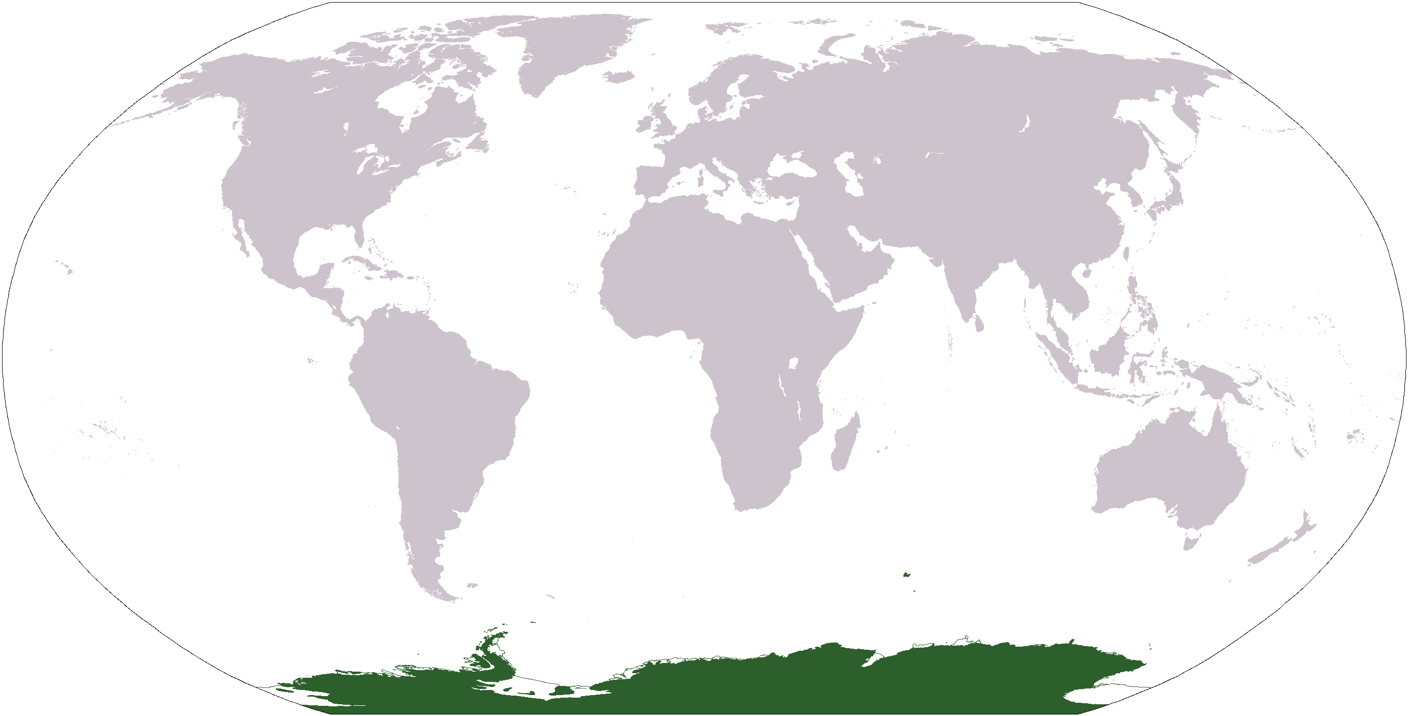
World map depicting Antarctica; map adapted from PDF world map at CIA World Fact Book.
Updated March 31, 2006 to remove green above 60°S line. in december there is 24 hours of sun light
Licentie
| Public domainPublic domainfalsefalse |
Deze afbeelding bevindt zich in het publiek domein omdat het materiaal bevat dat oorspronkelijk afkomstig is van het CIA World Factbook.
Bahasa Indonesia ∙ čeština ∙ Deutsch ∙ eesti ∙ English ∙ español ∙ Esperanto ∙ français ∙ galego ∙ hrvatski ∙ italiano ∙ Nederlands ∙ norsk nynorsk ∙ polski ∙ português ∙ sicilianu ∙ slovenščina ∙ suomi ∙ Türkçe ∙ Zazaki ∙ беларуская (тарашкевіца) ∙ македонски ∙ русский ∙ српски / srpski ∙ українська ∙ ქართული ∙ বাংলা ∙ தமிழ் ∙ മലയാളം ∙ 한국어 ∙ 日本語 ∙ 中文 ∙ 中文(简体) ∙ 中文(繁體) ∙ العربية ∙ +/− |
 |
Bestandsgeschiedenis
Klik op een datum/tijd om het bestand te zien zoals het destijds was.
| Datum/tijd | Miniatuur | Afmetingen | Gebruiker | Opmerking | |
|---|---|---|---|---|---|
| huidige versie | 23 apr 2013 19:13 | | 2.759 × 1.404 (50 kB) | User02062000 | |
| 23 apr 2013 19:10 |  | 2.759 × 1.404 (50 kB) | User02062000 | Reverted to version as of 18:54, 20 December 2005 | |
| 19 jan 2008 14:37 |  | 2.759 × 1.404 (97 kB) | F l a n k e r | Transparency | |
| 31 mrt 2006 03:04 |  | 2.759 × 1.404 (55 kB) | David Kernow~commonswiki | ||
| 20 dec 2005 20:54 |  | 2.759 × 1.404 (50 kB) | E Pluribus Anthony~commonswiki | World map: Antarctica (location) | |
| 28 apr 2005 14:38 |  | 2.759 × 1.404 (39 kB) | Ghalas | Extracted from CIA World Factbook PDF world map, then rasterized and colored. {{PD-USGov-CIA-WF}} |
Bestandsgebruik
Dit bestand wordt op de volgende 25 pagina's gebruikt:
- Aarde (planeet)
- Afrika
- Afrika-Eurazië
- Amerika (werelddelen)
- Antarctica
- Australië (continent)
- Azië
- Continent
- Eurazië
- Europa (werelddeel)
- Gondwana (continent)
- Laurazië
- Noord-Amerika
- Oceanië
- Pangea
- Rodinia
- Wereld (aarde)
- Werelddeel
- Zuid-Amerika
- Gebruiker:Abnormaal
- Gebruiker:Abnormaal/Kladblok
- Gebruiker:PPendjol/Topografie
- Sjabloon:Navigatie continenten en regio's van de wereld
- Categorie:Continent
- Portaal:Geografie
Globaal bestandsgebruik
De volgende andere wiki's gebruiken dit bestand:
- Gebruikt op af.wikipedia.org
- Gebruikt op am.wikipedia.org
- Gebruikt op ang.wikipedia.org
- Gebruikt op arc.wikipedia.org
- Gebruikt op ar.wikipedia.org
- Gebruikt op arz.wikipedia.org
- Gebruikt op ba.wikipedia.org
- Gebruikt op bcl.wikipedia.org
- Gebruikt op be-tarask.wikipedia.org
- Gebruikt op bjn.wikipedia.org
- Gebruikt op bn.wikipedia.org
- Gebruikt op bo.wikipedia.org
- Gebruikt op bpy.wikipedia.org
- Gebruikt op br.wikipedia.org
Globaal gebruik van dit bestand bekijken.
Metadata
Dit bestand bevat metadata met EXIF-informatie, die door een fotocamera, scanner of fotobewerkingsprogramma toegevoegd kan zijn.
| Tijdstip laatste bestandswijziging | 20 dec 2005 06:52 |
|---|---|
| Horizontale resolutie | 37 dpc |
| Verticale resolutie | 37 dpc |