Bestand:Namibia_relief_location_map.jpg
Uit Wikipedia, de vrije encyclopedia
Grootte van deze voorvertoning: 623 × 600 pixels. Andere resoluties: 249 × 240 pixels | 499 × 480 pixels | 798 × 768 pixels | 1.063 × 1.024 pixels | 1.806 × 1.739 pixels.
Oorspronkelijk bestand (1.806 × 1.739 pixels, bestandsgrootte: 1,66 MB, MIME-type: image/jpeg)
| Dit is een bestand van Wikimedia Commons. Onderstaande beschrijving komt van de beschrijving van het bestand daar. |
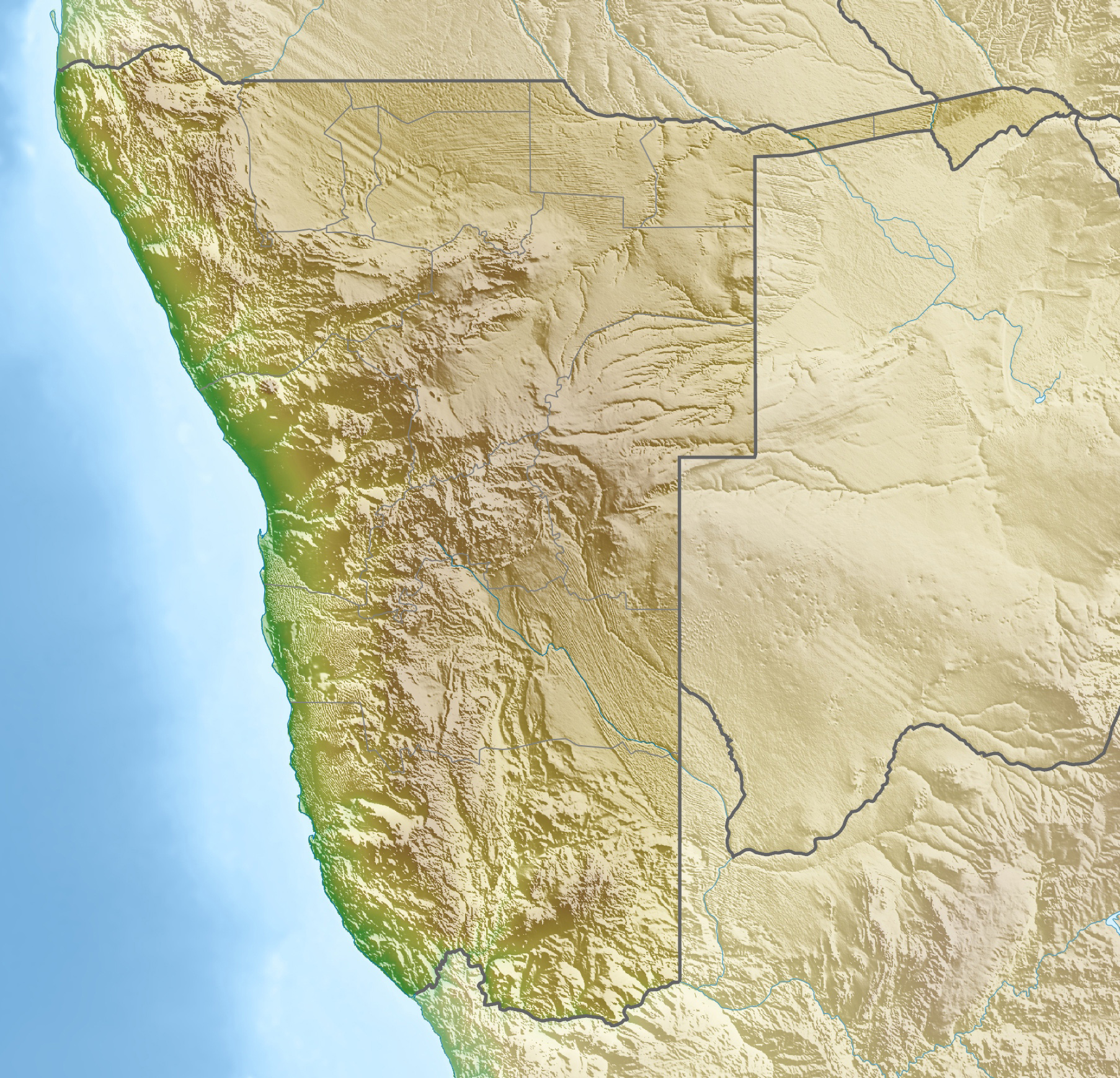
| BeschrijvingNamibia relief location map.jpg |
Deutsch: Physische Positionskarte von Namibia
Quadratische Plattkarte, N/S-Streckung 108 %. Geographische Begrenzung der Karte:
English: Physical location map of Namibia
Equirectangular projection, N/S streching 108 %. Geographic limits of the map:
|
||
| Datum | |||
| Bron | Eigen werk, using map data from administrative map by Uwe Dedering. The relief was created from SRTM-30 relief data | ||
| Auteur | Carport | ||
| Toestemming (Hergebruik van dit bestand) |
Dit bestand is gelicenseerd onder de Creative Commons-licentie Naamsvermelding-Gelijk delen 3.0 Unported
Dit bestand is gelicenseerd onder de Creative Commons-licentie Naamsvermelding-Gelijk delen 3.0 Duitsland

|
||
| Andere versies |
|


Bijschriften
Beschrijf in één regel wat dit bestand voorstelt
Items getoond in dit bestand
beeldt af
23 apr 2010
Bestandsgeschiedenis
Klik op een datum/tijd om het bestand te zien zoals het destijds was.
| Datum/tijd | Miniatuur | Afmetingen | Gebruiker | Opmerking | |
|---|---|---|---|---|---|
| huidige versie | 12 okt 2013 20:59 | | 1.806 × 1.739 (1,66 MB) | NordNordWest | upd |
| 23 apr 2010 16:12 |  | 1.806 × 1.739 (1,46 MB) | Carport | c | |
| 23 apr 2010 16:07 |  | 1.806 × 1.739 (1,46 MB) | Carport | {{Information |Description={{de|Physische Positionskarte von {{w|Namibia|3=de}}}} Quadratische Plattkarte, N/S-Streckung 108 %. Geographische Begrenzung der Karte: * N: 16.4° S * S: 29.6° S * W: 11.0° O * O: 25.8° O {{en|Physical location map of {{w|N |
Bestandsgebruik
Dit bestand wordt op de volgende 20 pagina's gebruikt:
- Brandberg (berg)
- Epupa-watervallen
- Hardapdam
- Hoanib
- Kaap Kruis
- Karasgebergte
- Kokerboomwoud
- Namib-Naukluft National Park
- Nationaal Park Mangetti
- Nationaal park Etosha
- Naukluftgebergte
- Nautedam
- Schroffenstein
- Sossusvlei
- Spitzkoppe
- Swakop
- Swakoppoortdam
- Verneukberg
- Von Bachdam
- Sjabloon:Positiekaart Namibië
Globaal bestandsgebruik
De volgende andere wiki's gebruiken dit bestand:
- Gebruikt op ar.wikipedia.org
- Gebruikt op ast.wikipedia.org
- Gebruikt op az.wikipedia.org
- Gebruikt op ban.wikipedia.org
- Gebruikt op ba.wikipedia.org
- Gebruikt op be.wikipedia.org
- Gebruikt op bg.wikipedia.org
- Виндхук
- Хардап (язовир)
- Мариентал
- Рихобот
- Катима Мулило
- Рунду
- Опуво
- Кетмансхоп
- Утапи
- Очиваронго
- Енхана
- Людериц
- Ондангва
- Ошиканго
- Малтахьое
- Гобабис
- Ониипа
- Шаблон:ПК Намибия
- Окакарара
- Карасбург
- Свакопмунд
- Ошакати
- Цумеб
- Уолфиш Бей
- Грутфонтейн
- Окаханджа
- Каманжаб
- Мамили
- Свакоп
- Колманскоп
- Каоко
- Дамара (планинска земя)
- Етоша (солончак)
Globaal gebruik van dit bestand bekijken.
Metadata
Dit bestand bevat metadata met EXIF-informatie, die door een fotocamera, scanner of fotobewerkingsprogramma toegevoegd kan zijn.
| Gebruikte software | Adobe Photoshop CS6 (Macintosh) |
|---|---|
| Breedte | 1.806 px |
| Hoogte | 1.739 px |
| Bits per component |
|
| Pixelcompositie | RGB |
| Oriëntatie | Normaal |
| Aantal componenten | 3 |
| Horizontale resolutie | 124 dpi |
| Verticale resolutie | 124 dpi |
| Tijdstip laatste bestandswijziging | 12 okt 2013 20:58 |
| Exif-versie | 2.21 |
| Kleurruimte | Ongekalibreerd |
| Uniek ID van het originele document | 92EA2FB0241A753CEC3C907E1D37766D |
| Tijdstip digitalisering | 22 jul 2012 23:05 |
| Datum waarop de metadata het laatst zijn bewerkt | 12 okt 2013 22:58 |
Overgenomen van "https://nl.wikipedia.org/wiki/Bestand:Namibia_relief_location_map.jpg"