Bestand:PT_Porto_Santo.PNG
Uit Wikipedia, de vrije encyclopedia
Geen hogere resolutie beschikbaar.
PT_Porto_Santo.PNG (500 × 413 pixels, bestandsgrootte: 6 kB, MIME-type: image/png)
| Dit is een bestand van Wikimedia Commons. Onderstaande beschrijving komt van de beschrijving van het bestand daar. |
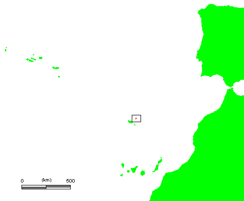
Beschrijving
| BeschrijvingPT Porto Santo.PNG |
English: Locator map of Porto Santo island — in the northeastern Porteguese Madeira Islands archipelago.
Português: Mapa da ilha do Porto Santo. |
||||||
| Bron | own work based on PD map | ||||||
| Auteur | edited by M.Minderhoud | ||||||
| Toestemming (Hergebruik van dit bestand) |
|
Bijschriften
Beschrijf in één regel wat dit bestand voorstelt
Items getoond in dit bestand
beeldt af
Bestandsgeschiedenis
Klik op een datum/tijd om het bestand te zien zoals het destijds was.
| Datum/tijd | Miniatuur | Afmetingen | Gebruiker | Opmerking | |
|---|---|---|---|---|---|
| huidige versie | 28 jun 2006 00:45 | | 500 × 413 (6 kB) | Michiel1972 | |
| 27 jun 2006 22:28 |  | 656 × 413 (9 kB) | Michiel1972 | {{Information |Description= {{subst:PAGENAME}} |Source= own work based on PD map |Date= |Author= edited by M.Minderhoud |Permission= {{PD-Demis}} |other_versions= }} category:Locator maps of islands |
Bestandsgebruik
Dit bestand wordt op de volgende pagina gebruikt:
Globaal bestandsgebruik
De volgende andere wiki's gebruiken dit bestand:
- Gebruikt op ar.wikipedia.org
- Gebruikt op el.wikipedia.org
- Gebruikt op lb.wikipedia.org
- Gebruikt op pl.wikivoyage.org
- Gebruikt op tt.wikipedia.org
- Gebruikt op vi.wikipedia.org
- Gebruikt op www.wikidata.org
Overgenomen van "https://nl.wikipedia.org/wiki/Bestand:PT_Porto_Santo.PNG"