File:Europe_under_Nazi_domination.png
維基百科,自由的 encyclopedia
本预览的尺寸:654 × 600像素。 其他分辨率:262 × 240像素 | 523 × 480像素 | 837 × 768像素 | 1,088 × 998像素。
原始文件 (1,088 × 998像素,文件大小:187 KB,MIME类型:image/png)

|
File:World War II in Europe, 1942.svg是此文件的矢量版本。 应当将此点阵图片替换为该文件。
File:Europe under Nazi domination.png → File:World War II in Europe, 1942.svg
更多信息请参阅Help:SVG/zh。
|
 |
摘要
| 描述Europe under Nazi domination.png |
Русский: Европа в разгаре военных завоеваний Оси Второй мировой войны в 1941–1942
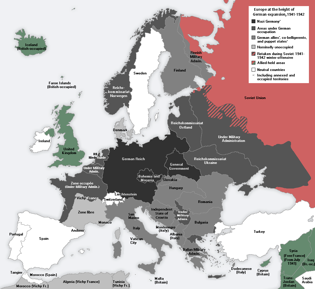
English: Europe at the height of the WWII Axis military conquests in 1941–1942.
中文:1941至42年二戰期間,軸心國的軍事佔領達至高峰時的歐洲。 |
| 日期 | |
| 来源 | 自己的作品 |
| 作者 | Morgan Hauser, derived from File:Second world war europe 1943-1945 map en.png and File:Second world war europe 1941-1942 map en.png by users Jarry1250 and ArmadniGeneral, respectively. |
| 其他版本 |
[编辑]
|


许可协议
我,本作品著作权人,特此采用以下许可协议发表本作品:
本文件采用知识共享署名-相同方式共享 3.0 未本地化版本许可协议授权。
- 您可以自由地:
- 共享 – 复制、发行并传播本作品
- 修改 – 改编作品
- 惟须遵守下列条件:
- 署名 – 您必须对作品进行署名,提供授权条款的链接,并说明是否对原始内容进行了更改。您可以用任何合理的方式来署名,但不得以任何方式表明许可人认可您或您的使用。
- 相同方式共享 – 如果您再混合、转换或者基于本作品进行创作,您必须以与原先许可协议相同或相兼容的许可协议分发您贡献的作品。
72
920
42
25
1088
998
Gibraltar?
说明
添加一行文字以描述该文件所表现的内容
此文件中描述的项目
描繪內容
某些值没有维基数据项目
16 3 2011
image/png
文件历史
点击某个日期/时间查看对应时刻的文件。
| 日期/时间 | 缩略图 | 大小 | 用户 | 备注 | |
|---|---|---|---|---|---|
| 当前 | 2015年1月23日 (五) 11:43 | | 1,088 × 998(187 KB) | DIREKTOR | Fixed error in Thrace: Germany occupied a strip of Greek territory at the border with Turkey. |
| 2015年1月22日 (四) 10:54 |  | 1,088 × 998(187 KB) | DIREKTOR | Fixed error at Crete. | |
| 2015年1月22日 (四) 09:30 |  | 1,088 × 998(187 KB) | DIREKTOR | Added brackets "(Under Military Admin.)", and capitalized "Z" in "zone". | |
| 2015年1月22日 (四) 00:10 |  | 1,088 × 998(187 KB) | DIREKTOR | Restored Vichy France label. | |
| 2015年1月21日 (三) 21:46 |  | 1,088 × 998(187 KB) | DIREKTOR | Small label fix. | |
| 2015年1月21日 (三) 21:42 |  | 1,088 × 998(187 KB) | DIREKTOR | "Reichskommissariat Niederlande" -> "RK Niederlande" | |
| 2015年1月21日 (三) 21:41 |  | 1,088 × 998(188 KB) | DIREKTOR | Further fixes and modifications: the Netherlands were not a Nazi co-belligerent: replaced "Netherlands" with "Reichskommissariat Niederlande"; Denmark was not formally occupied by 1941-42; introduced uniform labels for territories under military occupa... | |
| 2014年10月11日 (六) 16:30 |  | 1,088 × 998(187 KB) | DIREKTOR | "Norway" -> "Reichskommissariat Norwegen" | |
| 2014年10月11日 (六) 15:14 |  | 1,088 × 998(186 KB) | DIREKTOR | "Greece" replaced with "Italian military admin." + fixed caption in accordance with previous modification. | |
| 2014年10月11日 (六) 14:57 |  | 1,088 × 998(186 KB) | DIREKTOR | Modified to depict German-occupied territory differently than that by other Axis countries + brightened Vichy France, given the period. |
文件用途
没有页面链接到本图像。
全域文件用途
以下其他wiki使用此文件:
- ar.wikipedia.org上的用途
- en.wikipedia.org上的用途
- ku.wikipedia.org上的用途
- la.wikipedia.org上的用途
- mk.wikipedia.org上的用途
- pt.wikipedia.org上的用途
- vi.wikipedia.org上的用途
元数据
此文件中包含有扩展的信息。这些信息可能是由数码相机或扫描仪在创建或数字化过程中所添加。
如果此文件的源文件已经被修改,一些信息在修改后的文件中将不能完全反映出来。
| 水平分辨率 | 72 dpi |
|---|---|
| 垂直分辨率 | 72 dpi |
| 色彩空间 | 无标定 |
| 图像宽度 | 1,088 px |
| 图像高度 | 998 px |
| 使用软件 | Adobe Photoshop CC 2014 (Windows) |
| 数字化日期时间 | 2014年8月3日 (日) 17:56 |
| 文件修改日期时间 | 2015年1月22日 (四) 23:32 |
| 原始数据最后修改日期 | 2015年1月22日 (四) 23:32 |
| 原始文件唯一ID | xmp.did:72d8ef65-0802-2643-b5a4-d448b835cf85 |